Log in
All resources
Create a design
1,062 Free Artworks of Charts And Maps
charts and maps of the royal museums greenwich
1682 maps
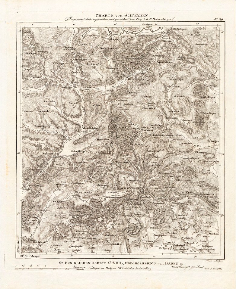
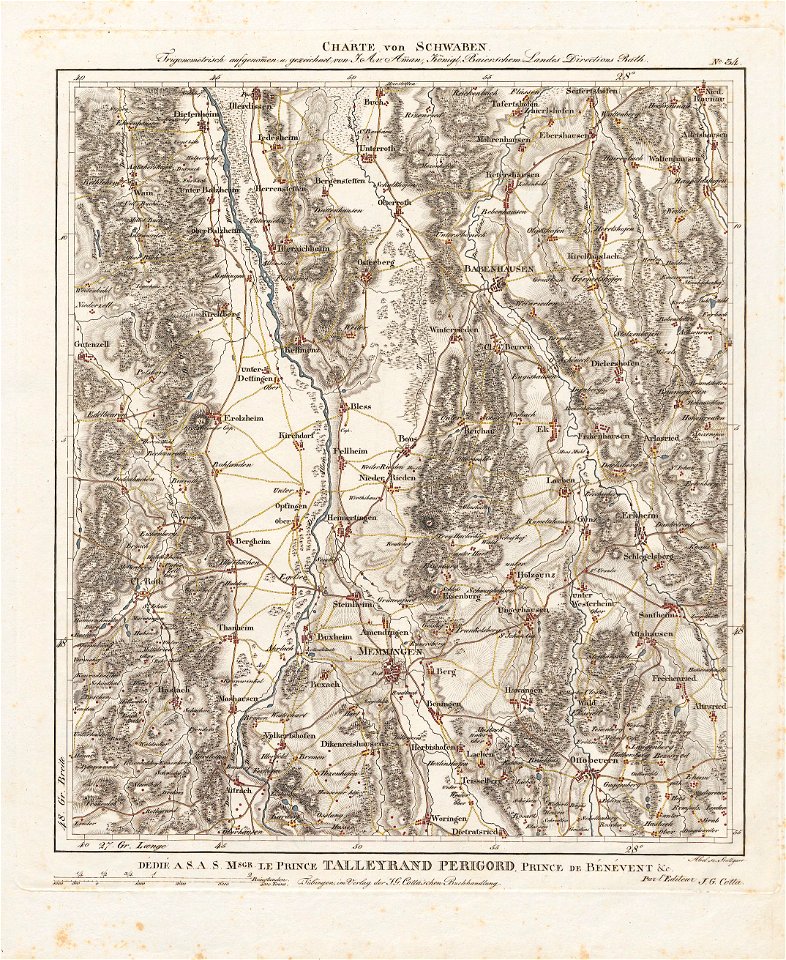
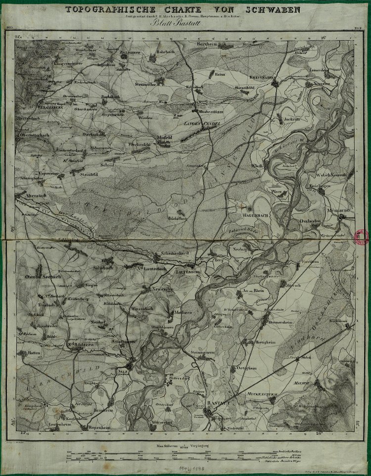
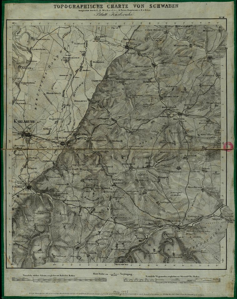
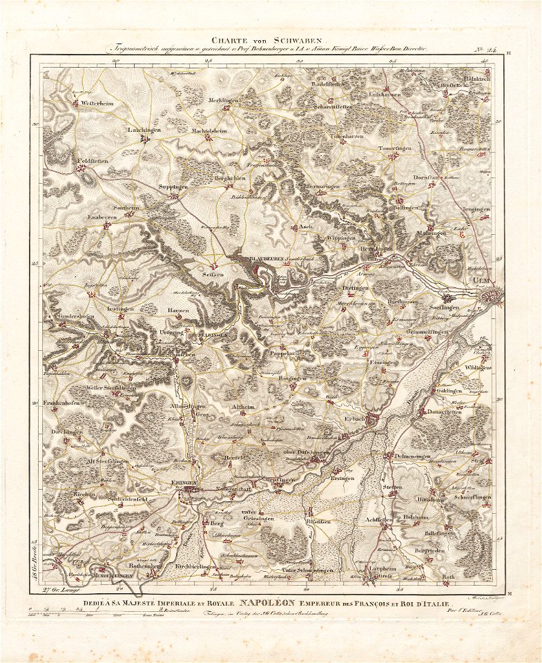
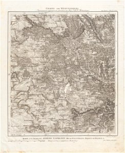
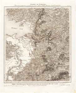
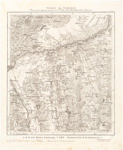
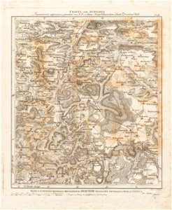
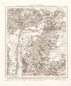
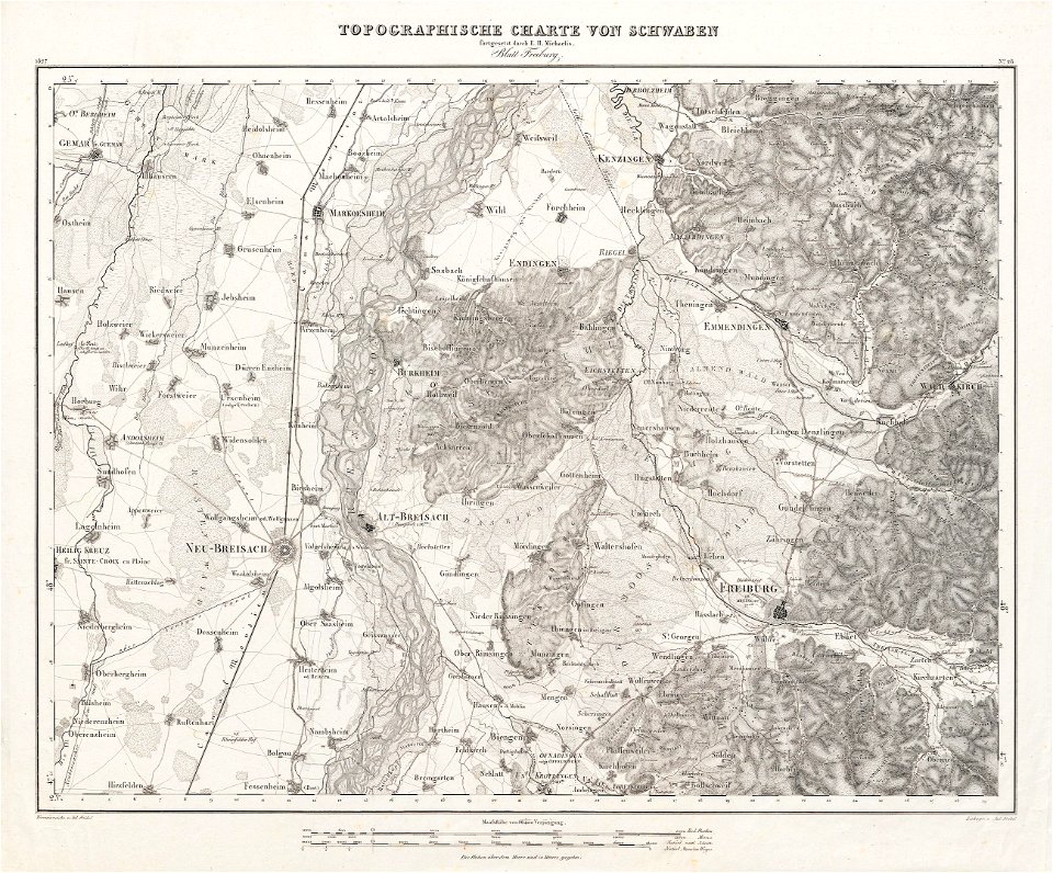
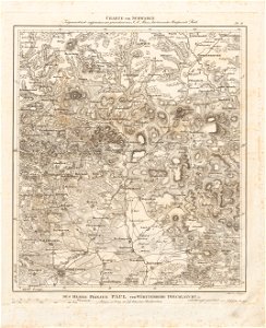
charte von schwaben (bohnenberger)
19th-century maps of bavaria
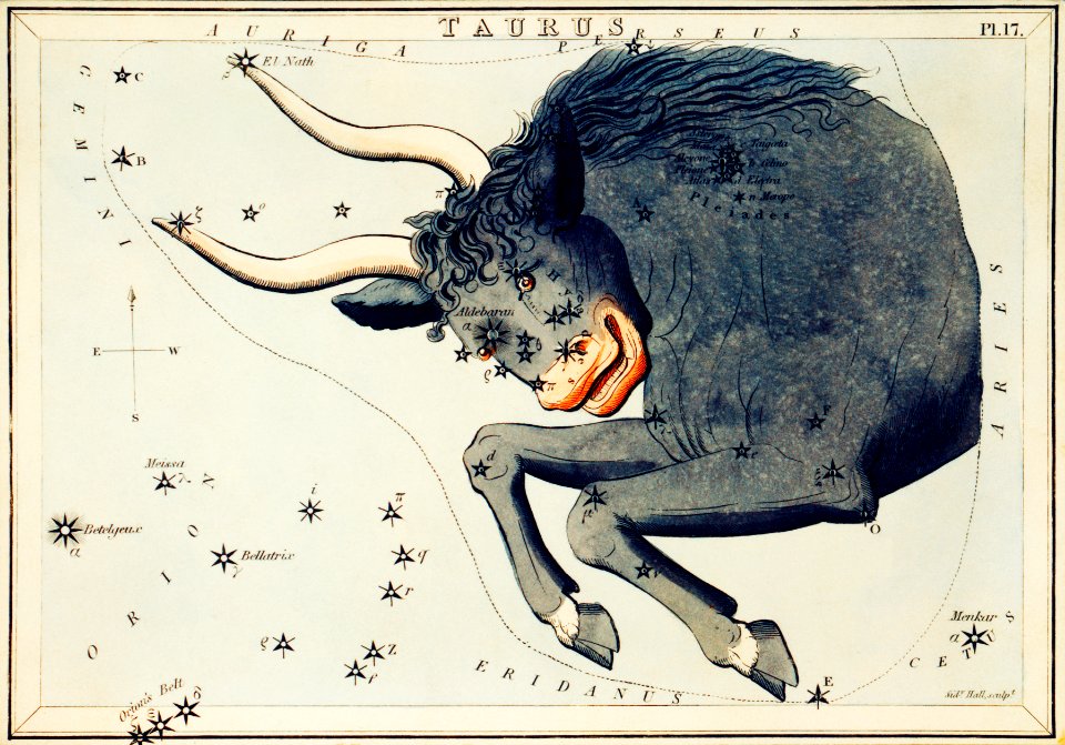
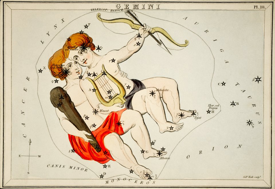
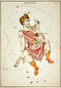
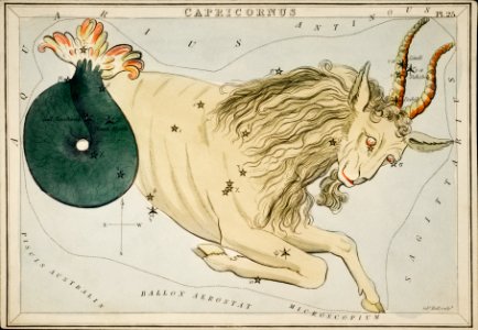
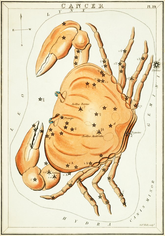
zodiac
vintage maps
maps & charts
astrology
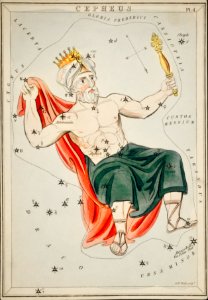
celestial
sidney hall
third voyage of willem barentsz
16th-century maps of the arctic
the voyage of the vega round asia and europe
third voyage of willem barentsz
overwintering on nova zembla by willem barentsz, 1596-1597
maps in the rijksmuseum amsterdam
west-indische compagnie
image restoration
carta hydrographica y chorographica de las yslas filipinas
baroque painting
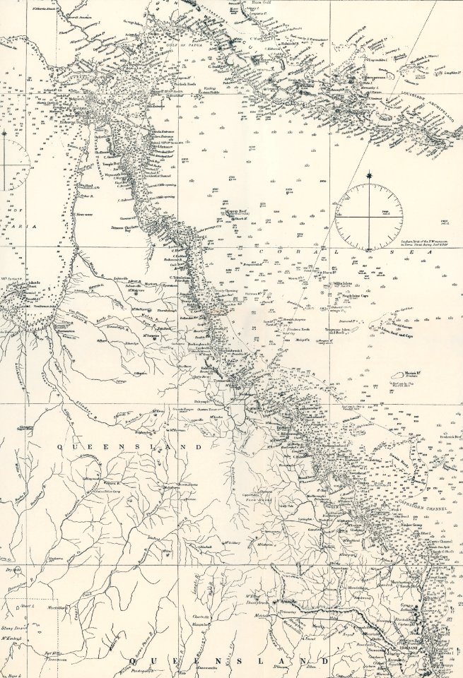
maps
bull
charte von schwaben (bohnenberger)
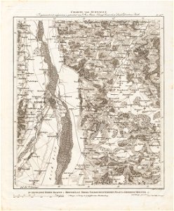
old maps of switzerland
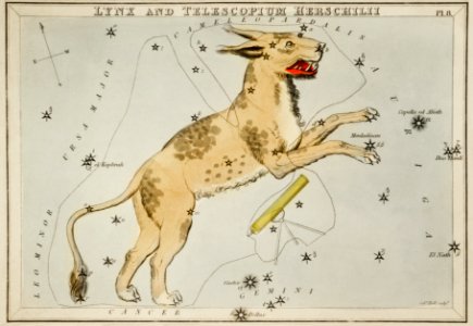
astronomy
maps
old maps of switzerland
maps of basel
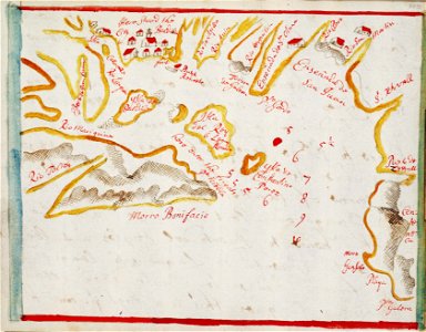
sketch
maps
astronomy
maps
maps
sea
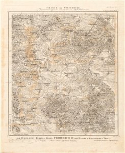
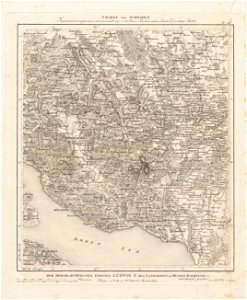
charte von schwaben (bohnenberger)
19th-century maps of bavaria
charte von schwaben (bohnenberger)
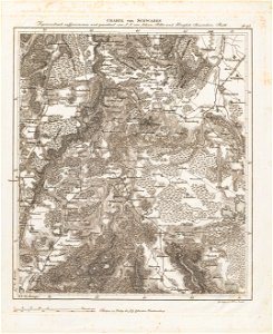
old maps of the danube
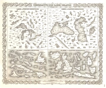
geographic comparison diagrams
1855 maps
19th-century maps of bavaria
staffelsee
geographic comparison diagrams
1855 maps
old maps of rhineland-palatinate
old maps of bas-rhin
astronomy
maps
old maps of lake constance
old maps of switzerland
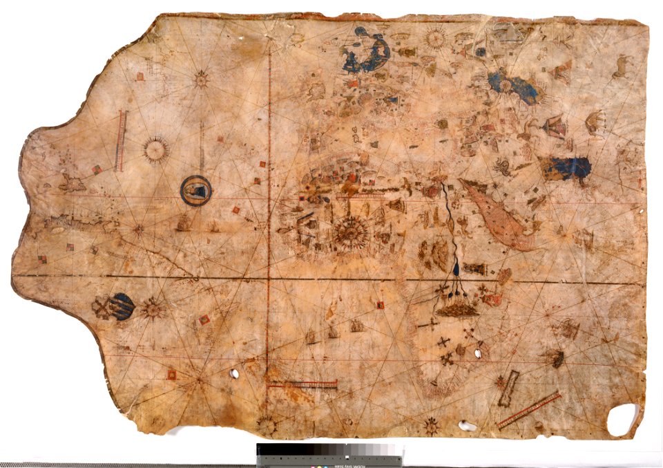
1510s maps of the world
coats of arms on maps
astronomy
maps
maps
man
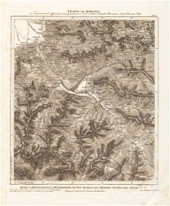
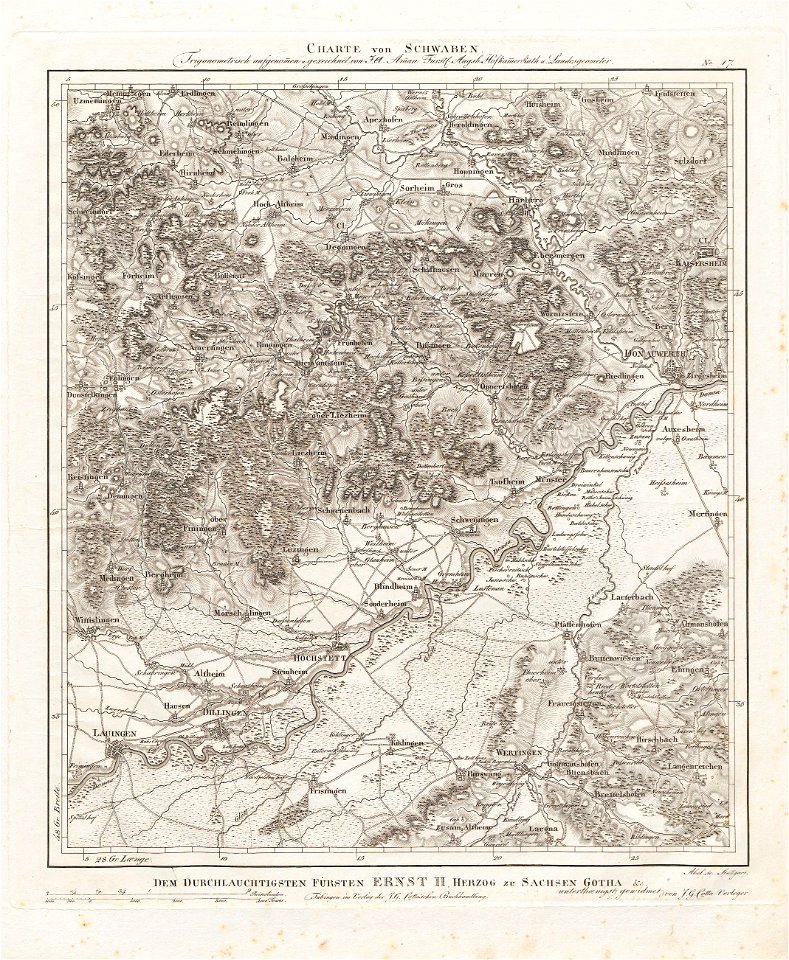
charte von schwaben (bohnenberger)
maps of ravensburg
charte von schwaben (bohnenberger)
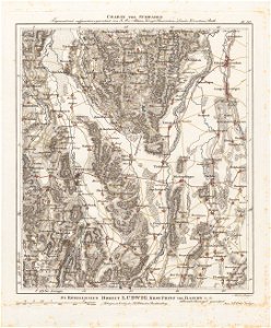
maps of landkreis sigmaringen
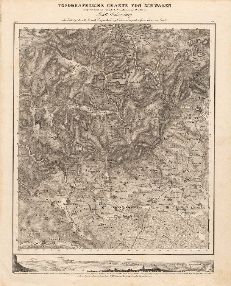
charte von schwaben (bohnenberger)
19th-century maps of bavaria
19th-century maps of bavaria
wertach river in augsburg
charte von schwaben (bohnenberger)
maps of karlsruhe
charte von schwaben (bohnenberger)
maps of ulm
charte von schwaben (bohnenberger)
maps of stuttgart
charte von schwaben (bohnenberger)
maps of heilbronn
lizard
maps
animals
maps
charts and maps of the royal museums greenwich
edward gennys fanshawe
charte von schwaben (bohnenberger)
old maps of switzerland
history of lindau (bodensee)
alter rhein
charte von schwaben (bohnenberger)
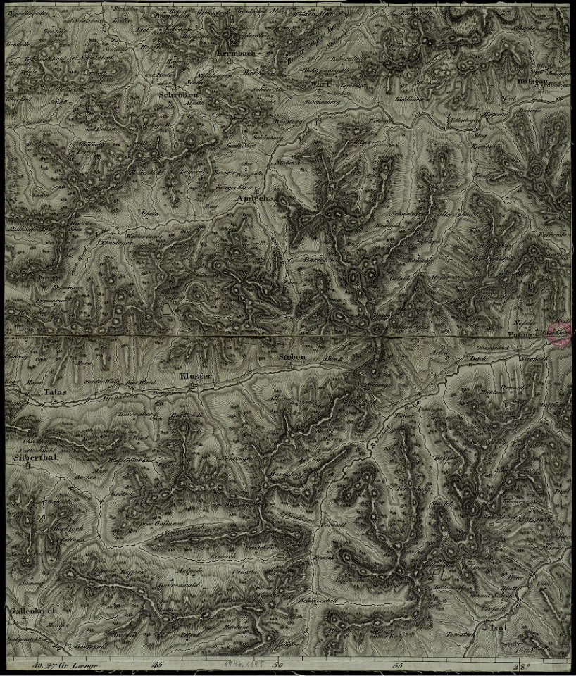
old maps of vorarlberg
16th-century maps of the black sea
maps in the library of congress
charte von schwaben (bohnenberger)
old maps of vorarlberg
charte von schwaben (bohnenberger)
19th-century maps of bavaria
charte von schwaben (bohnenberger)
old maps of switzerland
charte von schwaben (bohnenberger)
19th-century maps of bavaria
charte von schwaben (bohnenberger)
old maps of lake constance
charte von schwaben (bohnenberger)
old maps of bas-rhin
charte von schwaben (bohnenberger)
19th-century maps of bavaria
charte von schwaben (bohnenberger)
19th-century maps of bavaria
charte von schwaben (bohnenberger)
old maps of bas-rhin
charte von schwaben (bohnenberger)
19th-century maps of bavaria
charte von schwaben (bohnenberger)
19th-century maps of bavaria
vincenzo coronelli
1690s maps
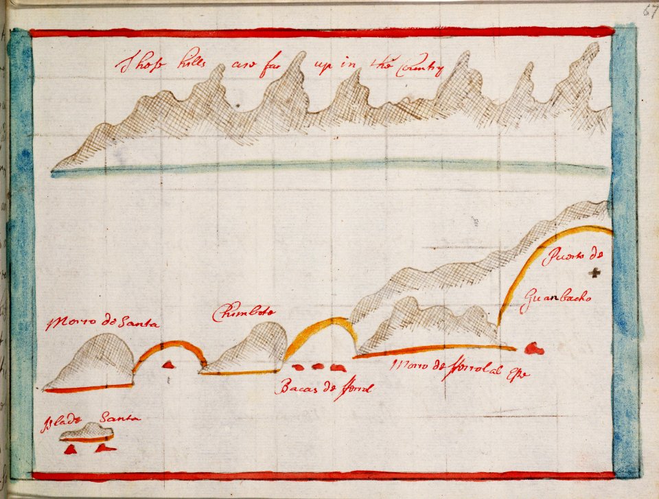
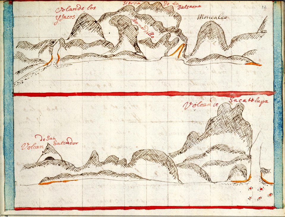
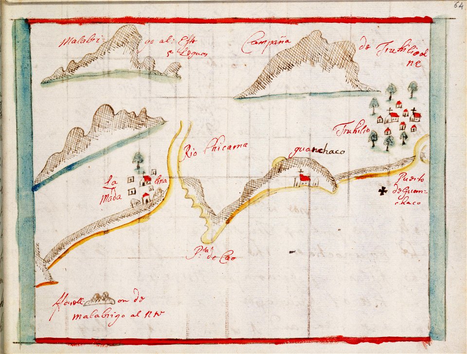
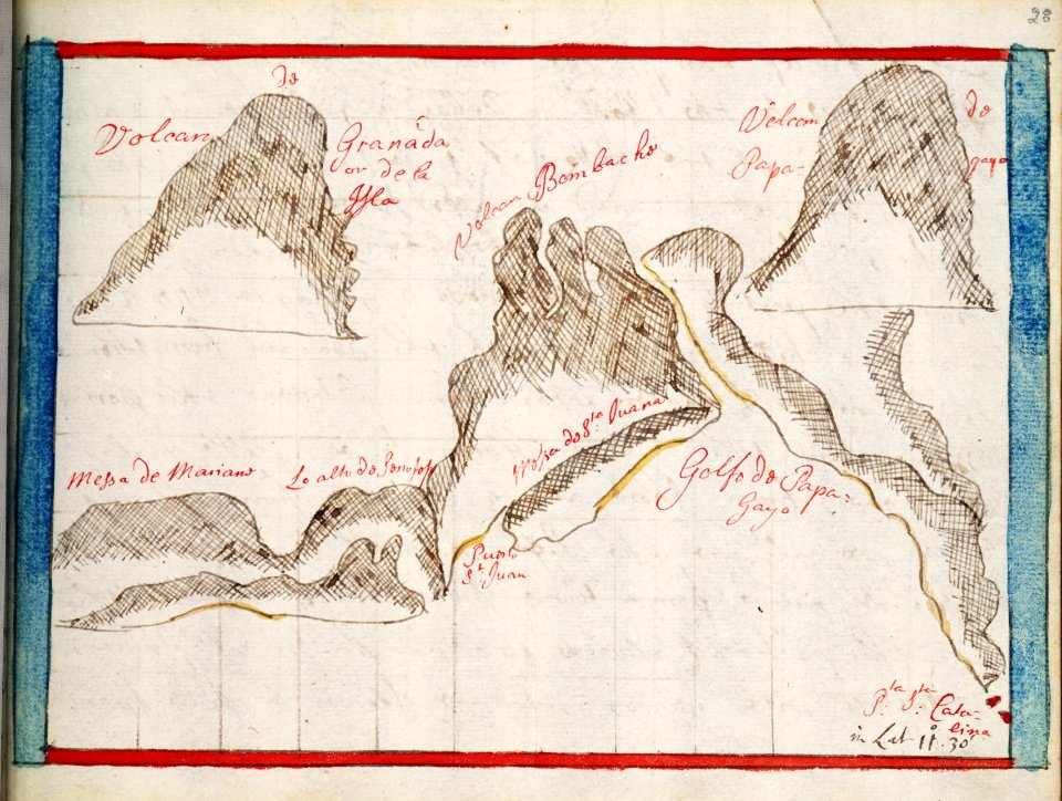
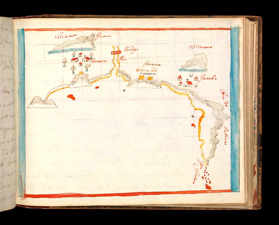
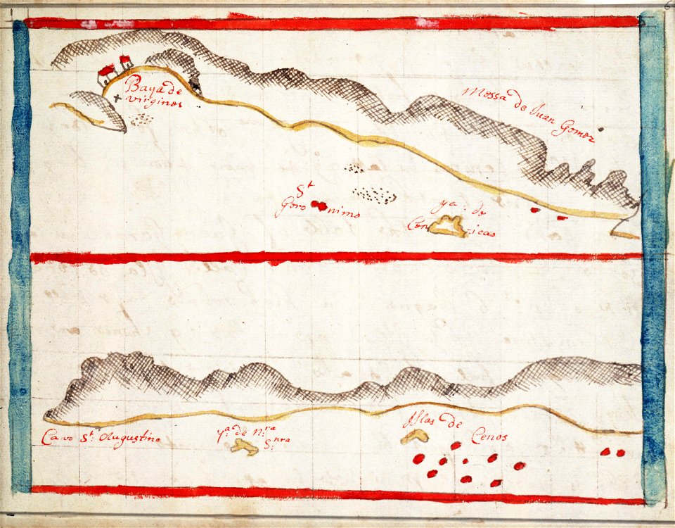
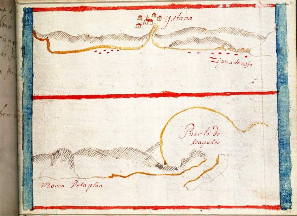
charts and maps of the royal museums greenwich
1682 maps
charts and maps of the royal museums greenwich
1682 maps
old celestial maps
charts and maps of the royal museums greenwich
1682 maps
charts and maps of the royal museums greenwich
1682 maps
charts and maps of the royal museums greenwich
1682 maps
charts and maps of the royal museums greenwich
1682 maps
charts and maps of the royal museums greenwich
1682 maps
charts and maps of the royal museums greenwich
1682 maps
charts and maps of the royal museums greenwich
1682 maps
charte von schwaben (bohnenberger)
old maps of freiburg im breisgau
charts and maps of the royal museums greenwich
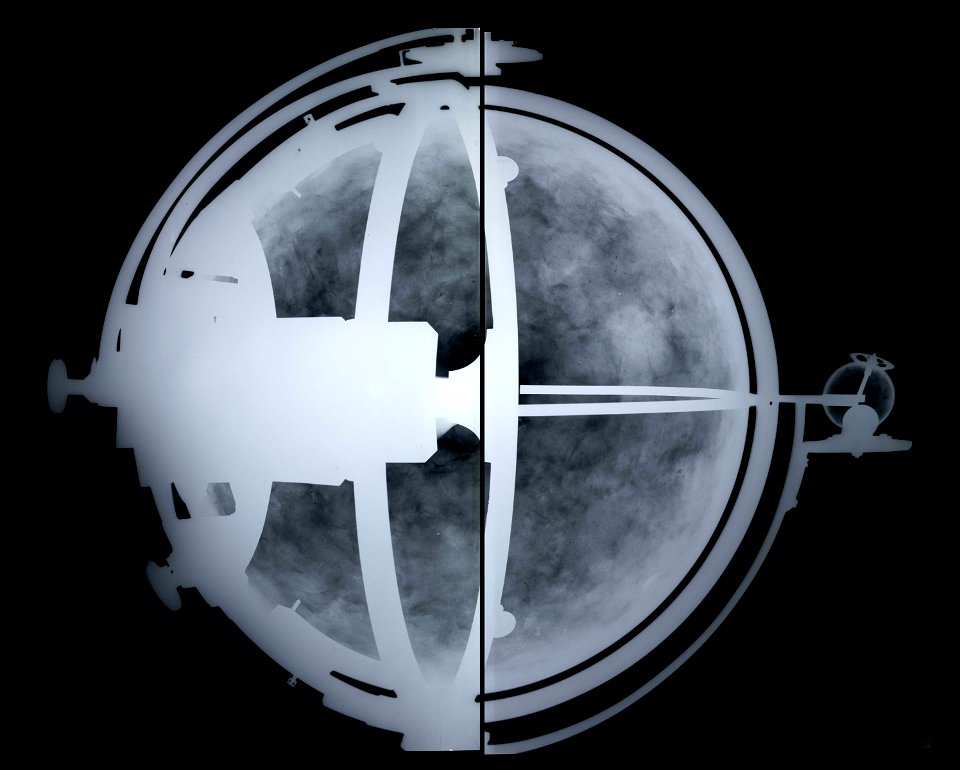
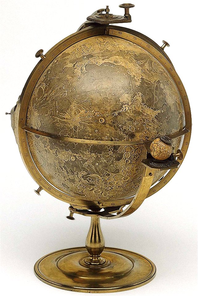
old maps of the moon
charts and maps of the royal museums greenwich
1682 maps
charts and maps of the royal museums greenwich
1682 maps
charts and maps of the royal museums greenwich
1682 maps
old celestial maps
old celestial maps
charts and maps of the royal museums greenwich
1682 maps
charts and maps of the royal museums greenwich
1682 maps
charts and maps of the royal museums greenwich
1682 maps
charts and maps of the royal museums greenwich
1682 maps
charts and maps of the royal museums greenwich
1682 maps
charts and maps of the royal museums greenwich
1682 maps
charts and maps of the royal museums greenwich
1682 maps
charts and maps of the royal museums greenwich
1682 maps
charts and maps of the royal museums greenwich
1682 maps
charts and maps of the royal museums greenwich
1682 maps
charts and maps of the royal museums greenwich
1682 maps
charts and maps of the royal museums greenwich
1682 maps
charts and maps of the royal museums greenwich
1682 maps
19th-century maps of bavaria
nördlinger ries
old maps of lake constance
reichenau island
charts and maps of the royal museums greenwich
old maps of the moon
astronomy
maps
charts and maps of the royal museums greenwich
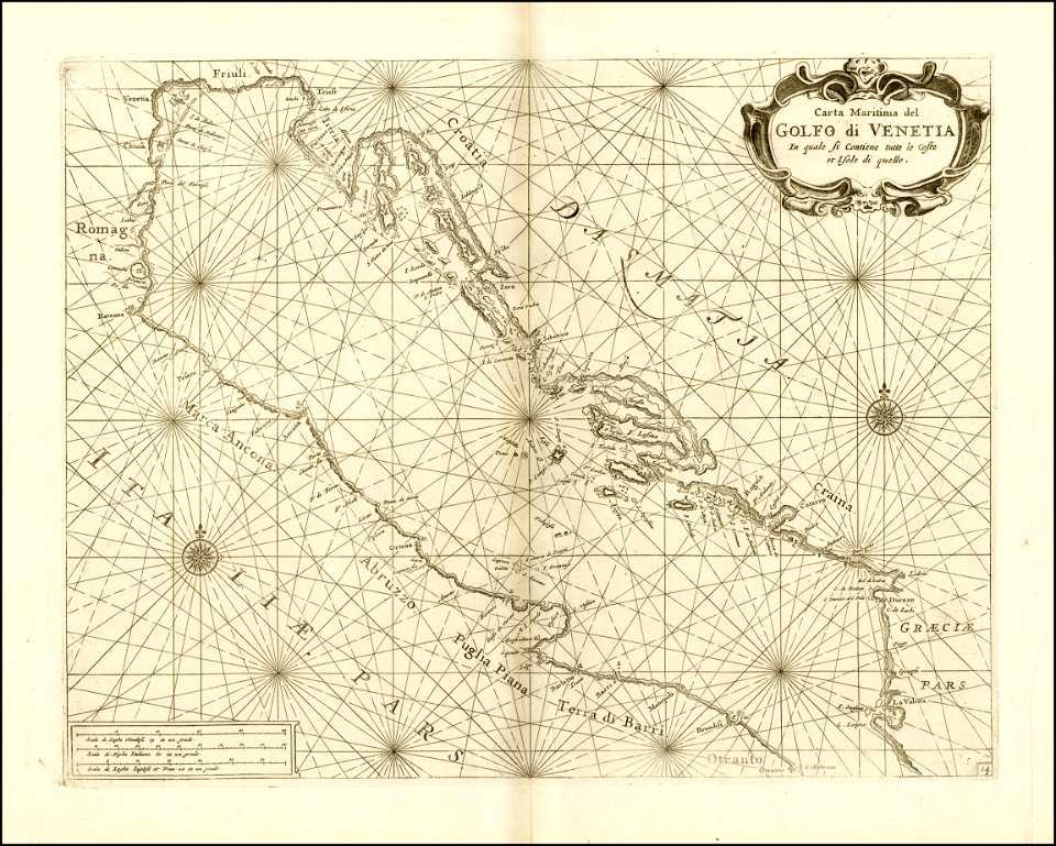
18th-century maps of the mediterranean sea
fish
maps
charts and maps of the royal museums greenwich
1682 maps
charts and maps of the royal museums greenwich
1682 maps
charts and maps of the royal museums greenwich
1682 maps
charts and maps of the royal museums greenwich
1682 maps
charts and maps of the royal museums greenwich
1682 maps
charts and maps of the royal museums greenwich
1682 maps
charts and maps of the royal museums greenwich
1682 maps
charts and maps of the royal museums greenwich
1682 maps
charts and maps of the royal museums greenwich
1682 maps
charts and maps of the royal museums greenwich
1682 maps
charts and maps of the royal museums greenwich
1682 maps
charts and maps of the royal museums greenwich
1682 maps
charts and maps of the royal museums greenwich
1682 maps
charts and maps of the royal museums greenwich
1682 maps
1 - 100 of 1,062
Next page
/ 11