Log in
All resources
Create a design
57 Free Artworks of 19th Century Maps Of The World
engraving
grabados
world map
book
libros
libros del siglo xix
fondo antiguo
fonds ancely - bibliothèque municipale de toulouse - maps
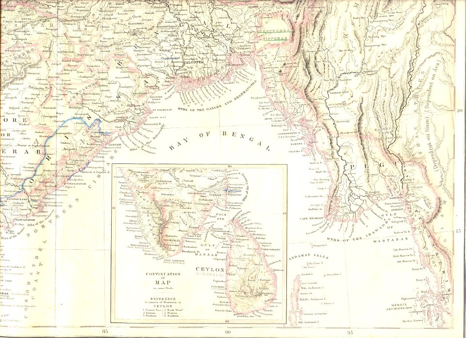
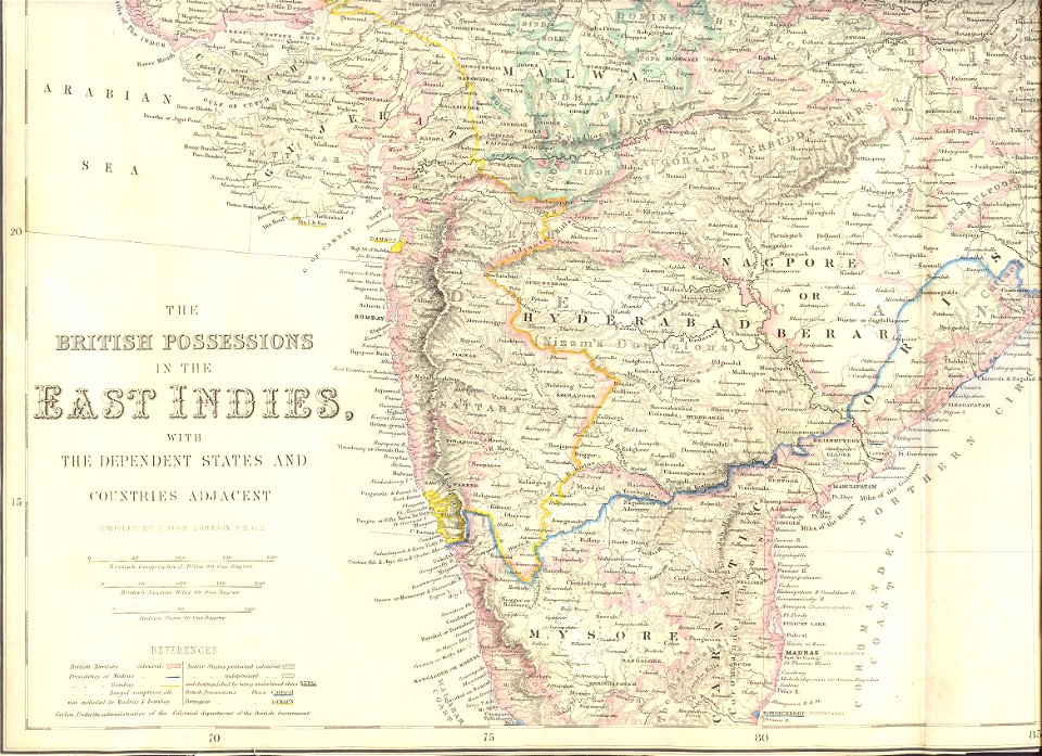
19th-century maps of india
bibliothèque nationale de france
maps showing 19th-century history
political maps of the world
political maps of the world
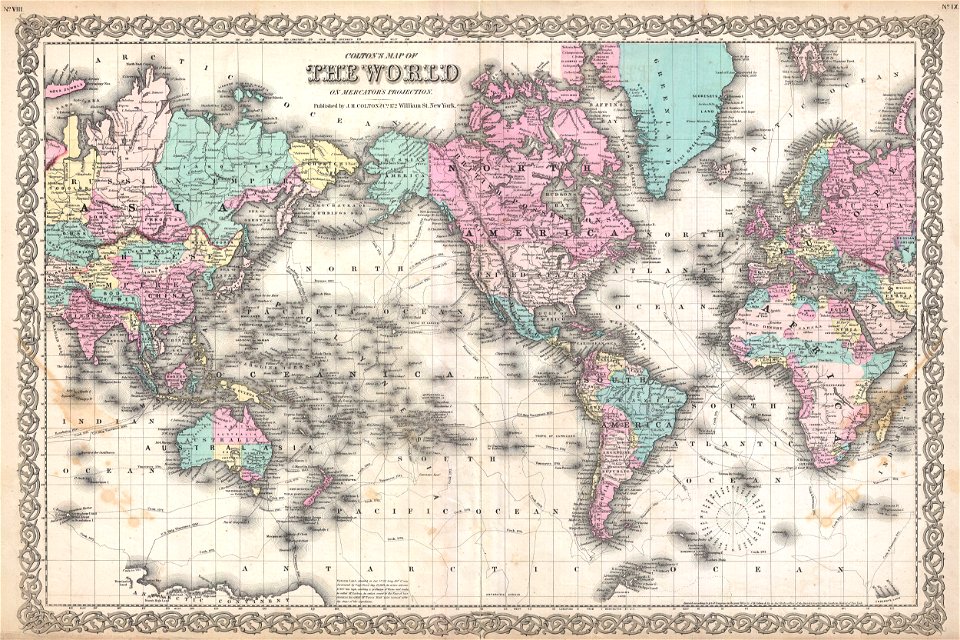
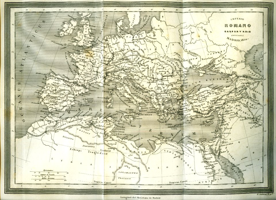
1852
mercator projection
sugar industry
victor levasseur - maps of the world
frédéric-auguste laguillermie
images from the new york public library
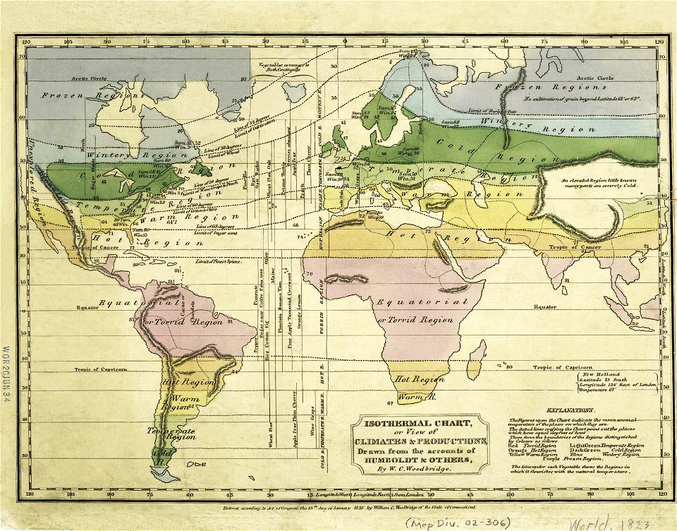
old weather and climate maps
images from the new york public library
old weather and climate maps
victor levasseur - maps of the world
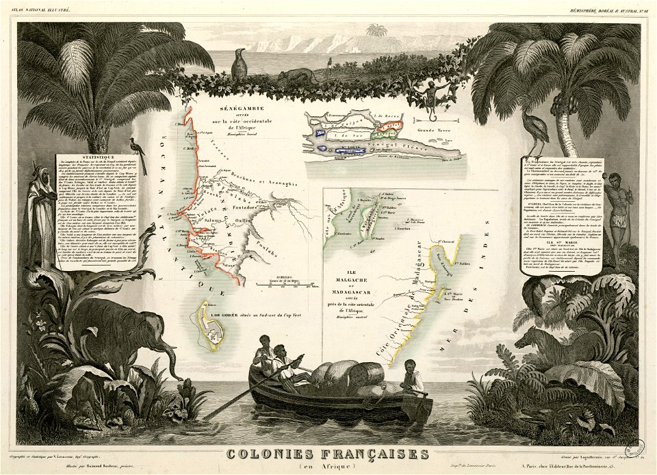
old maps of senegal
19th-century maps of india
images from the new york public library
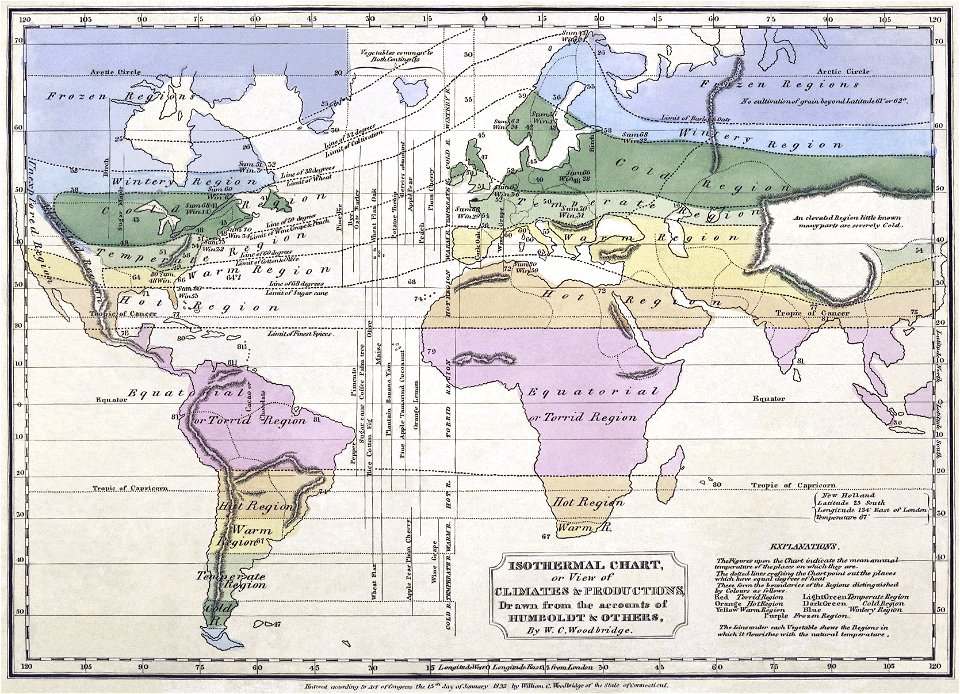
alexander von humboldt
fonds ancely - bibliothèque municipale de toulouse - maps
victor levasseur - maps of the world
19th-century maps of india
19th-century maps of india
19th-century maps of india
19th-century maps of india
isaiah thomas (publisher)
1812 maps
1800s maps of the world
old maps of the world
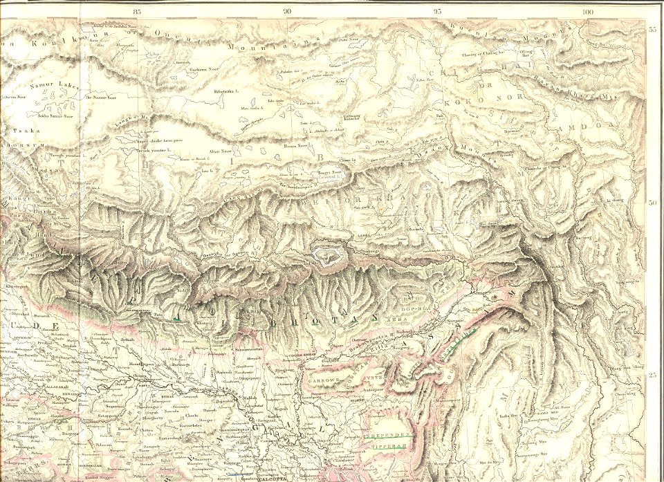
19th-century maps of tibet
details of old maps
1850s maps of the americas
maps by john tallis
racial type portraits
racial maps
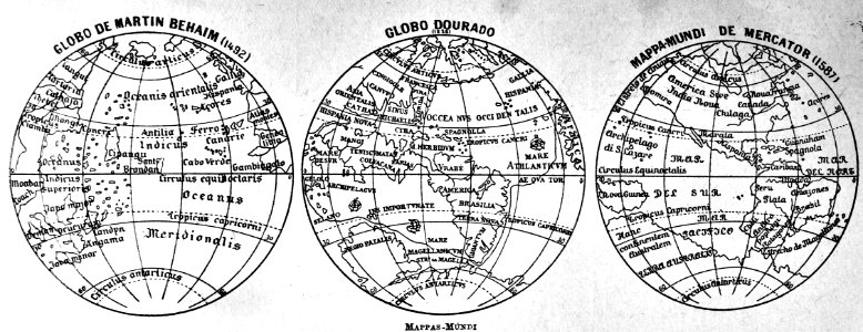
19th-century double hemisphere world maps
1800s maps of the world
19th-century satirical maps
augusto grossi
maps showing 19th-century history
arctic expeditions
frederick james
duels in art
maps by jan eduard wagner
františek kytka
19th-century maps of bohemia
1880s maps of czechia
19th-century maps of greece
pierre françois tardieu
19th-century double hemisphere world maps
maps by alexandre vuillemin
copper engravings in the universitätsbibliothek salzburg
frans hogenberg
antoine-françois tardieu
jean-baptiste poirson
a system of modern geography (1810)
1810 maps of germany
maps from the earth and its inhabitants, vol. iv
19th-century double hemisphere world maps
corona and coronet (1898)
1898 maps of the world
19th-century maps of the malay archipelago
a system of modern geography (1810)
19th-century maps of england and wales
a system of modern geography (1810)
victor levasseur - maps of the world
neoclassicism
19th-century maps of europe
maps by john cary
19th-century maps of europe
maps by john cary
maps of saint paul's journeys
maps by thomas starling
travel
maps
a & c black general atlas of the world
19th-century celestial maps
women of the world from the british library mechanical curator collection
siberia in the 19th century
illustration
book
maps by john cary
1801 maps
victor levasseur - maps of the world
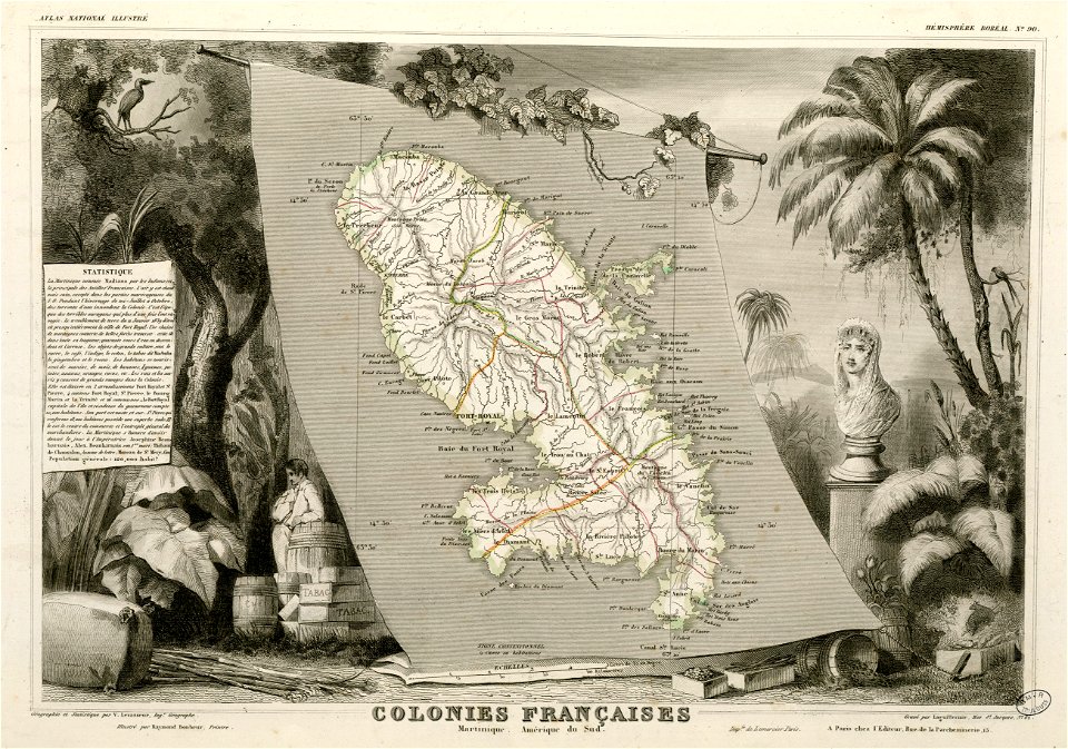
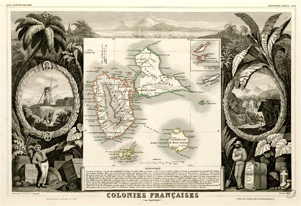
19th-century maps of martinique
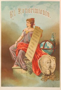
renaissance
world map
illustration
maps
illustration
maps
1836 maps of africa
ambroise tardieu
illustration
maps
illustration
maps
illustration
maps
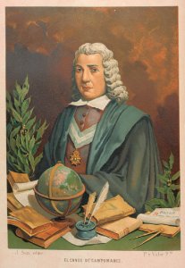
astronomer
world map
world map
portrait
portrait
book
mathematics
laurel
medals
book
mountain height comparison diagrams
andriveau-goujon
1 - 57 of 57
/ 1