Log in
All resources
Create a design
9 Free Artworks of 19th Century Maps Of Belgium
19th-century satirical maps
english-language maps of europe
fred. w. rose
personifications of nations
1899 maps of europe
1899 political cartoons
political maps of europe
multilingual maps
quadrilingual english-french-german-italian signs
figurative maps
old maps of luxembourg
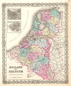
1855 maps
cornell: persuasive cartography: the pj mode collection
19th-century satirical maps
19th-century satirical maps
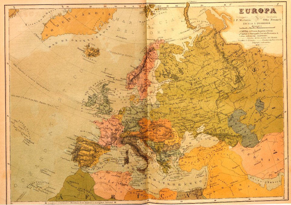
1899 maps of europe
19th-century satirical maps
1899 maps of europe
1804 maps of europe
maps by john cary
maps by john cary
1799 maps
1880s maps of the netherlands
1880s maps of belgium
russo-turkish war (1877–1878) in art
great eastern crisis (1875–78)
travel
maps
1 - 9 of 9
/ 1