Log in
All resources
Create a design
57 Free Artworks of 1742 Maps Of France
bibliothèque nationale de france
chorographia britanniae (1741-1742)
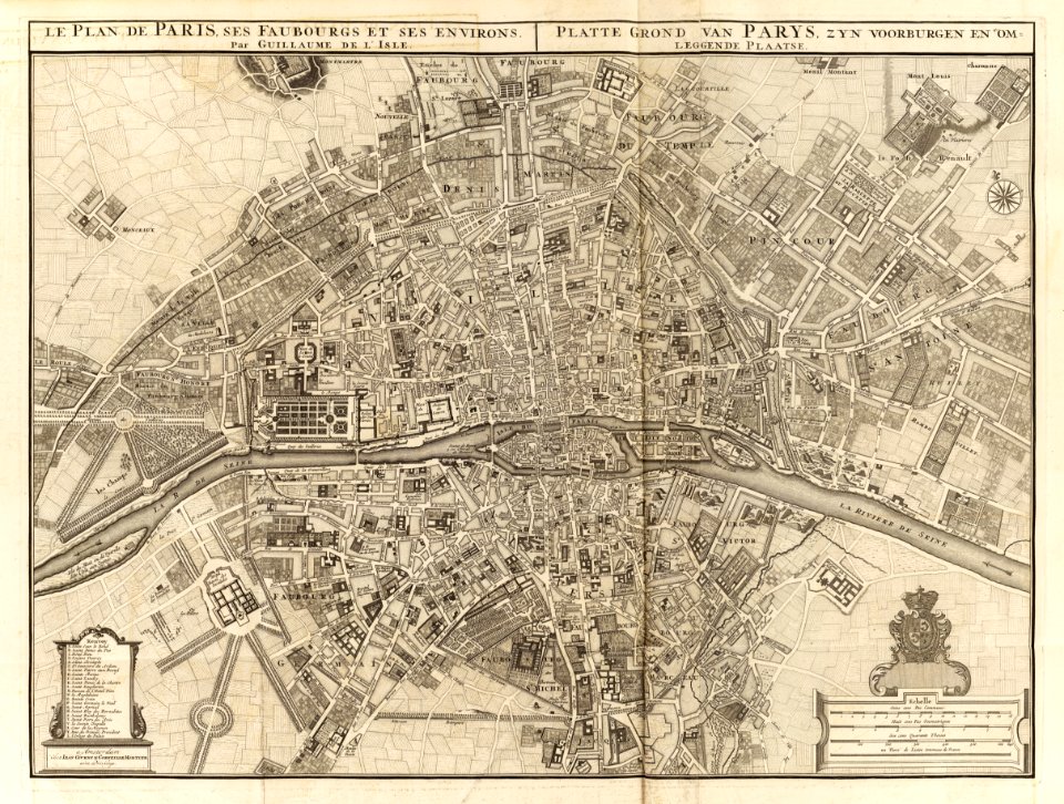
maps of paris from bibliothèque nationale de france
environs de paris levés géométriquement by jean delagrive (1731-1742)
maps facing west
18th-century maps of england and wales
old county maps of somerset
1740s maps of wales
david rumsey historical map collection
covens en mortier
chorographia britanniae (1741-1742)
18th-century maps of cornwall
chorographia britanniae (1741-1742)
18th-century maps of kent
chorographia britanniae (1741-1742)
18th-century maps of essex
chorographia britanniae (1741-1742)
18th-century maps of sussex
chorographia britanniae (1741-1742)
18th-century maps of northumberland
chorographia britanniae (1741-1742)
18th-century maps of westmorland
chorographia britanniae (1741-1742)
18th-century maps of monmouthshire
18th-century maps of huntingdonshire
chorographia britanniae (1741-1742)
chorographia britanniae (1741-1742)
18th-century maps of middlesex
chorographia britanniae (1741-1742)
18th-century maps of cambridgeshire
18th-century maps of nottinghamshire
chorographia britanniae (1741-1742)
chorographia britanniae (1741-1742)
18th-century maps of cumberland
environs de paris levés géométriquement by jean delagrive (1731-1742)
maps of paris from bibliothèque nationale de france
environs de paris levés géométriquement by jean delagrive (1731-1742)
maps of paris from bibliothèque nationale de france
environs de paris levés géométriquement by jean delagrive (1731-1742)
maps of paris from bibliothèque nationale de france
environs de paris levés géométriquement by jean delagrive (1731-1742)
maps of paris from bibliothèque nationale de france
environs de paris levés géométriquement by jean delagrive (1731-1742)
maps of paris from bibliothèque nationale de france
environs de paris levés géométriquement by jean delagrive (1731-1742)
maps of paris from bibliothèque nationale de france
environs de paris levés géométriquement by jean delagrive (1731-1742)
maps of paris from bibliothèque nationale de france
environs de paris levés géométriquement by jean delagrive (1731-1742)
maps of paris from bibliothèque nationale de france
environs de paris levés géométriquement by jean delagrive (1731-1742)
maps of paris from bibliothèque nationale de france
chorographia britanniae (1741-1742)
18th-century maps of staffordshire
18th-century maps of herefordshire
old county maps of herefordshire
18th-century maps of norfolk, england
chorographia britanniae (1741-1742)
chorographia britanniae (1741-1742)
18th-century maps of rutland
chorographia britanniae (1741-1742)
18th-century maps of worcestershire
chorographia britanniae (1741-1742)
18th-century maps of hampshire
chorographia britanniae (1741-1742)
18th-century maps of suffolk
chorographia britanniae (1741-1742)
old county maps of county durham
chorographia britanniae (1741-1742)
18th-century maps of lincolnshire
18th-century maps of northamptonshire
chorographia britanniae (1741-1742)
18th-century maps of gloucestershire
chorographia britanniae (1741-1742)
chorographia britanniae (1741-1742)
18th-century maps of yorkshire
chorographia britanniae (1741-1742)
18th-century maps of cheshire
18th-century maps of buckinghamshire
chorographia britanniae (1741-1742)
chorographia britanniae (1741-1742)
18th-century maps of warwickshire
chorographia britanniae (1741-1742)
18th-century maps of hertfordshire
chorographia britanniae (1741-1742)
18th-century maps of surrey
chorographia britanniae (1741-1742)
18th-century maps of shropshire
chorographia britanniae (1741-1742)
18th-century maps of dorset
chorographia britanniae (1741-1742)
18th-century maps of leicestershire
chorographia britanniae (1741-1742)
18th-century maps of berkshire
chorographia britanniae (1741-1742)
18th-century maps of devon
chorographia britanniae (1741-1742)
18th-century maps of bedfordshire
chorographia britanniae (1741-1742)
18th-century maps of somerset
chorographia britanniae (1741-1742)
18th-century maps of derbyshire
chorographia britanniae (1741-1742)
18th-century maps of wiltshire
chorographia britanniae (1741-1742)
bibliothèque nationale de france
chorographia britanniae (1741-1742)
18th-century maps of lancashire
jean-fréderic phélypeaux
guillaume dheulland
18th-century maps of england and wales
chorographia britanniae (1741-1742)
chorographia britanniae (1741-1742)
1740s maps of wales
18th-century maps of england and wales
chorographia britanniae (1741-1742)
chorographia britanniae (1741-1742)
1740s maps of wales
18th-century maps of england and wales
chorographia britanniae (1741-1742)
18th-century maps of england and wales
chorographia britanniae (1741-1742)
1 - 57 of 57
/ 1


![A Map of South Wales: West from London / T. Badeslade delin[eavit]; W.H. Toms Sculp[sit], 1741](https://cdn.creazilla.com/illustrations/10000319175/a-map-of-south-wales-west-from-london-t-badeslade-delineavit-wh-toms-sculpsit-1741-sm.webp)

