Log in
All resources
Create a design
22 Free Artworks of 1610s Maps Of France
bibliothèque nationale de france
maps by pieter van der keere
1610s maps of the netherlands
maps with cartouches
maps by jodocus hondius
ships on maps
maps by john speed
david rumsey historical map collection
1854 maps
1610s maps of paris
david rumsey historical map collection
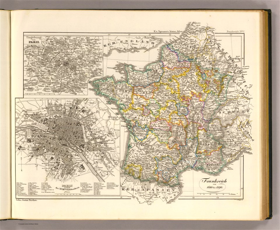
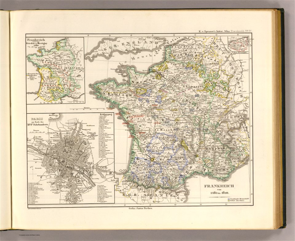
old maps of france
david rumsey historical map collection
19th-century maps of france
maps by samuel de champlain
old maps of new france
maps of the dutch republic
nicolaes van geelkercken
enceinte of philippe-auguste on old maps
1610s maps of paris
maps by pieter van der keere
1610s maps of belgium
enceinte of philippe-auguste on old maps
1610s maps of paris
1610s maps of the netherlands
old maps of friesland
17th-century maps of dorset
maps by john speed
maps by jodocus hondius
maps by john speed
1610s maps of the netherlands
maps with cartouches
17th-century maps of the mediterranean sea
1610 maps of europe
maps by pieter van der keere
old maps of utrecht
maps by pieter van der keere
old maps of zutphen
atlas minor gerardi mercatoris (1614, maps)
17th-century double hemisphere world maps
1610s maps of the holy roman empire
jacques surhon
17th-century maps of pembrokeshire
old county maps of pembrokeshire
maps by pieter van der keere
old maps of gelderland
17th-century maps of pembrokeshire
maps by jodocus hondius ii
baptista van doetecum
jacques surhon
serie 4, franse, duitse en engelse gebeurtenissen, 1576-1610
album met 345 prenten van hogenberg
collections of the musée des beaux-arts de la ville de paris
baroque
1 - 22 of 22
/ 1