Log in
All resources
Create a design
12 Free Images of Street Maps Of Paris 1er Arrondissement
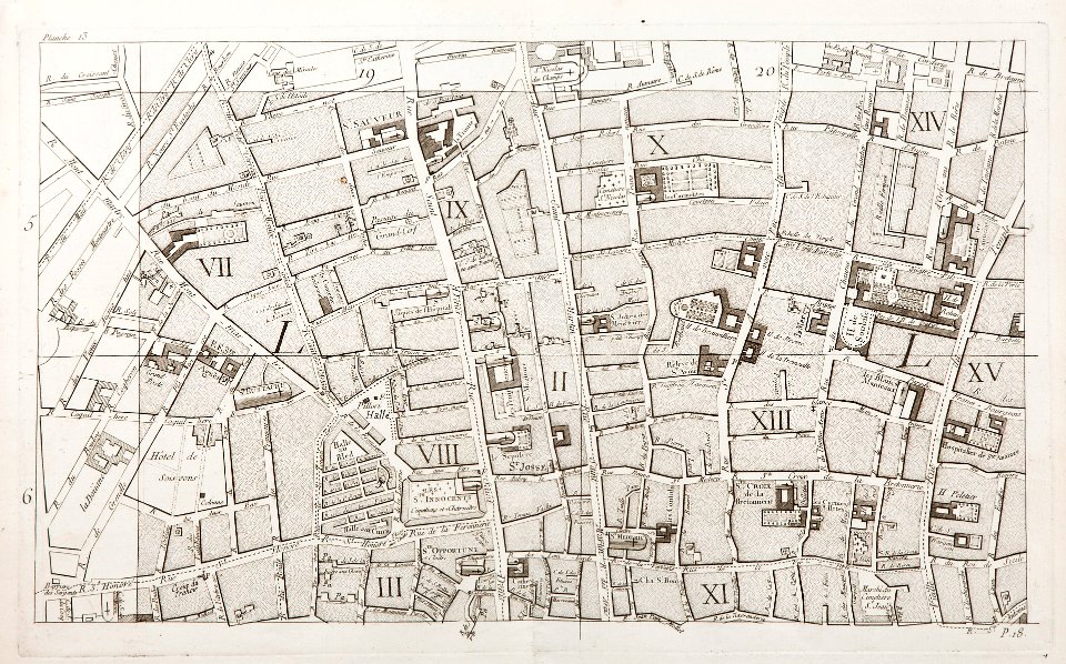
old maps of paris 1er arrondissement
lithographs of paris
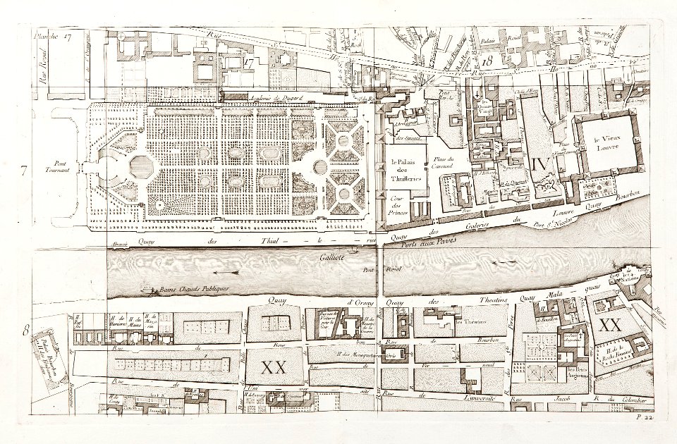
old maps of paris 4e arrondissement
paris former 4e arrondissement
historical images of pont au change
historical images of the pont notre-dame
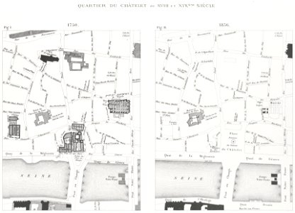
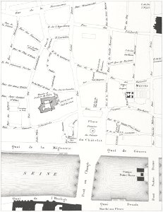
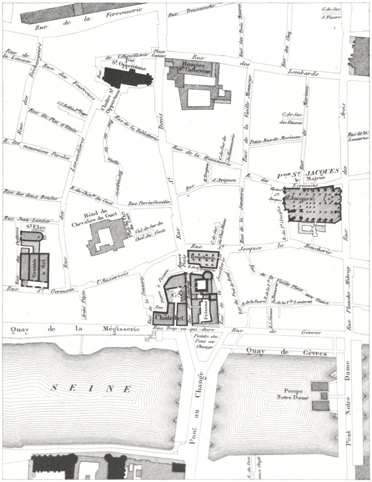
historical images of place du châtelet
floor plans of paris
paris à travers les âges
street maps of paris 4e arrondissement
self-published work
architecture
lithographs of paris
grand châtelet
historical images of pont au change
lithographs of paris
lithographs of paris
grand châtelet
paris in the 16th century
lithographs of paris
maps of paris in the 1760s
maps in skokloster castle
maps in skokloster castle
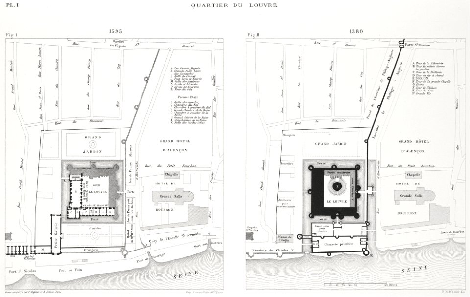
port du louvre
petit atlas pittoresque des 48 quartiers de la ville de paris, bhvp
paris former 4e arrondissement
petit atlas pittoresque des 48 quartiers de la ville de paris, bhvp
paris former 4e arrondissement
petit atlas pittoresque des 48 quartiers de la ville de paris, david rumsey historical map collection
maps of paris from the david rumsey historical map collection
petit atlas pittoresque des 48 quartiers de la ville de paris, david rumsey historical map collection
maps of paris from the david rumsey historical map collection
old maps of île de la cité
old submaps of paris
1 - 12 of 12
/ 1