Log in
All resources
Create a design
32 Free Images of Old Maps Of North Brabant
gemeente atlas van nederland - north brabant
cc-zero
atlas novus (blaeu)
history
historical
unknown date
fotocollectie nederlandse heidemaatschappij
images from nationaal archief
old maps of 's-hertogenbosch
maps by pieter van der keere
17th-century maps of the netherlands
old maps of north brabant
netherlands
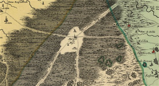
peel
old maps of north brabant
old maps of south holland
old maps of north brabant
old maps of zeeland
merksem
lillo
self-published work
rock
architecture
town
old maps of 's-hertogenbosch
empel en meerwijk
old maps of north brabant
1645 maps of belgium
maps in the phoebus foundation
maps by pieter van der keere
maps by pieter van der keere
old maps of north brabant
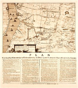
siege of geertruidenberg 1593
maps of geertruidenberg
old maps of north brabant
maps of megen
1602 in the netherlands
siege of grave 1602
gemeente atlas van nederland - north brabant
empel
gemeente atlas van nederland - north brabant
old maps of veghel
gemeente atlas van nederland - north brabant
old maps of eindhoven
gemeente atlas van nederland - north brabant
old maps of breda, netherlands
old maps of north brabant
coats of arms on maps
gemeente atlas van nederland - north brabant
old maps of 's-hertogenbosch
maps by gerardus mercator
kempen (region)
gemeente atlas van nederland - north brabant
old maps of bergen op zoom
old maps of north brabant
1645 maps of belgium
breda, netherlands in the 17th century
old maps of north brabant
siege of bergen-op-zoom 1622
old maps of north brabant
maps by hendrik hondius the younger
old maps of overijssel
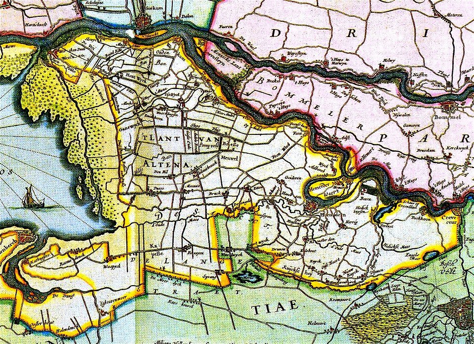
old maps of heusden, north brabant
piet schipperus
old maps of duchy of cleves
guillaume sanson
historical
history
historical
history
historical
history
historical
history
1 - 32 of 32
/ 1