Log in
All resources
Create a design
4,361 Free Images of Nautical
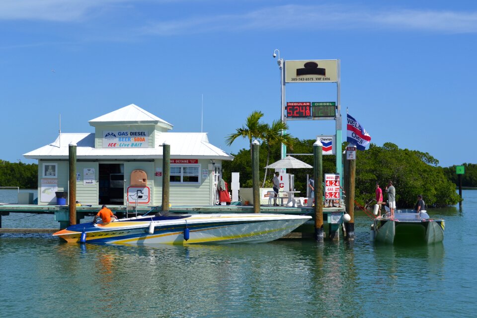
boat
water
ship
marine
sea
vessel
ocean
transport
waterfront
maritime
vehicle
boat
nautical
boat
sailboat
summer
ship
sea
ship
sea
water
boat
animals
fish
animals
bird
nature
water
landscape
tree
brown
fish
water
boat
water
boat
nautical
boat
water
fish
water
sea
equipment
nautical
water
boat
printing
joke
nautical signal flags
printing
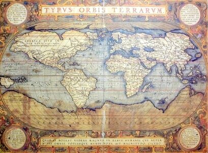
johannes van keulen
nautical chart
symbol
travel
maritime decoration
boxing
nautical
wood
boat
sea
nature
sea
ocean
sea
water
boat
ring
tie
boat
sea
industrial
fish
water
boat
boat
sea
boat
sea
viking
knot
water
boat
boat
ship
architecture
light
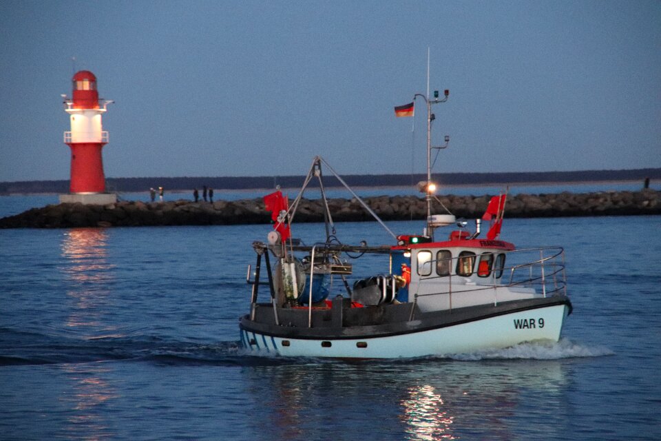
boat
sea
nautical
pirate
water
boat
travel
sea
knot
rope
boat
ship
ocean
sea
water
boat
maps by frederick de wit
copper engraving
river
boat
cruise
ship
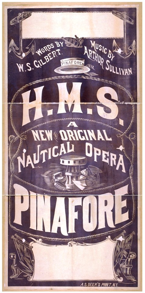
theatre posters of the united states
1879
theatre posters of the united states
1879
water
boat
nautical
gear
industrial
sea
landscape
fish
water
boat
boat
tie
boat
ship
ship
knot
nautical
water
background
scenes
water
boat
vehicle
water
architecture
ocean
vehicle
water
vehicle
water
nautical
gear
travel
fish
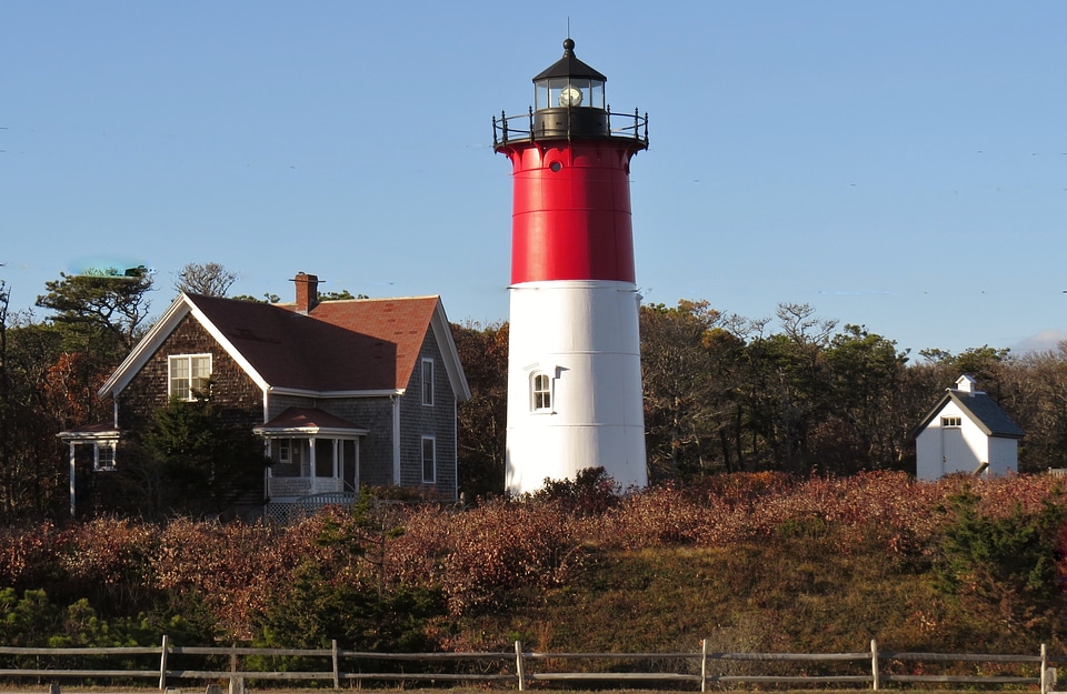
lighthouse
beach
flag
boat
hand-painted
ancient map
travel
water
travel
water
water
boat
architecture
nautical
boat
ship
architecture
blue
nautical
gear
vehicle
water
fish
food
animals
water
nautical
vintage
landscape
boat
water
boat
boxing
pirate
boat
sea
skyline
water
plants
green
travel
boat
water
boat
transport
boat
transport
ship
nautical
sport
decoration
nautical
military
boat
nautical
water
travel
water
animals
fish
ocean
boat
water
fish
301 - 400 of 4,361
Next page
/ 44