Log in
All resources
Create a design
36 Free Images of Maps Showing 19th Century History
1890s maps showing history
the comprehensive history of england (1876)
english-language maps showing history
1870s maps showing history
picturesque burma, past and present (1897)
isaiah thomas (publisher)
isaiah thomas
19th-century maps of southeast asia
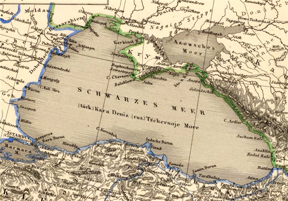
german-language maps showing history of europe
19th-century maps of the british isles
maps showing 19th-century history
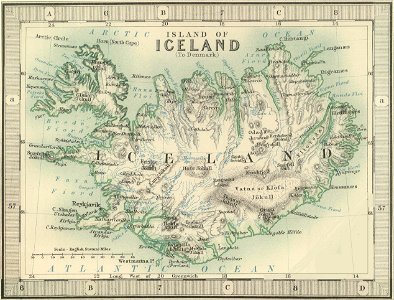
old maps of iceland
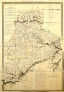
la rioja (spain) in the 19th century
cantabria in the 19th century
german-language maps showing history of europe
david rumsey historical map collection
old maps of guinea-bissau
old maps of liberia
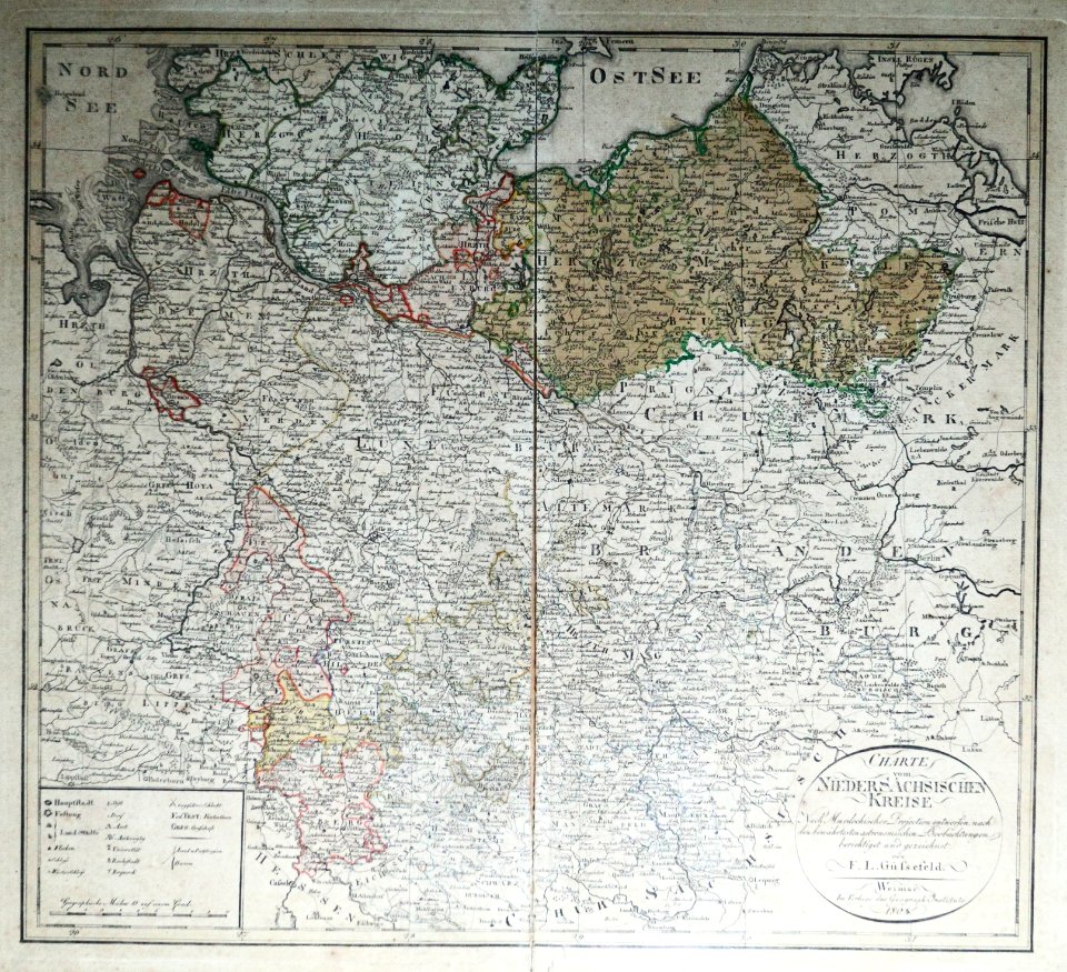
maps of territories in the lower saxony circle
19th-century maps of lower saxony
maps showing 19th-century history
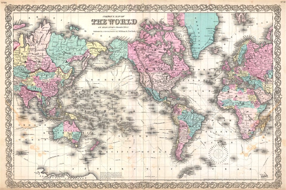
political maps of the world
political maps of the world
1852
nouvelle géographie universelle, vol. i
maps showing 19th-century history
maps showing 19th-century history
19th-century maps of south asia
19th-century maps of vietnam
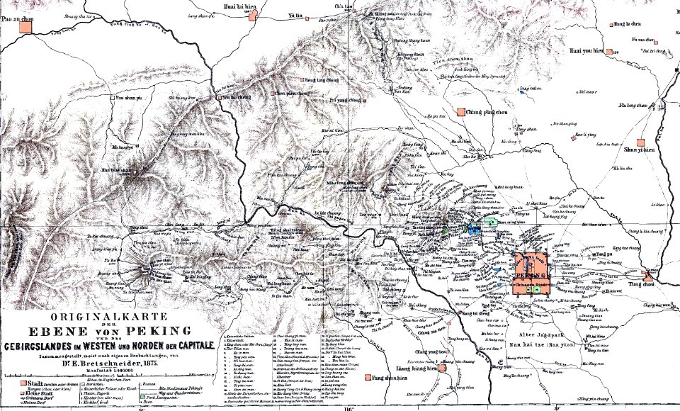
1810s maps of china
old maps of the kingdom of france (987-1792)
19th-century maps of the british isles
maps showing 19th-century history
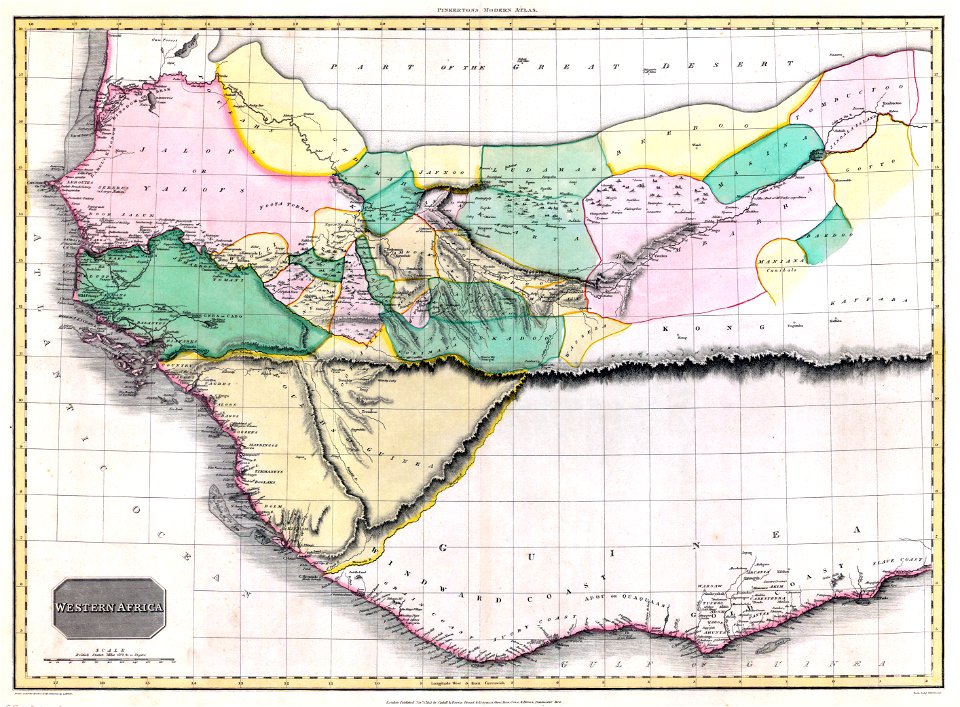
1812 maps of africa
old maps of são paulo (city)
maps of são paulo (city)
maps showing 19th-century history
arctic expeditions
maps from the mechanical curator collection
icelandic-language maps showing history
historisk atlas (stockholm, norstedt & söner, 1880)
19th-century maps of the british isles
the comprehensive history of england (1876)
english-language maps showing history
1850s maps of the americas
maps by john tallis
maps showing 19th-century history
isaiah thomas (publisher)
the comprehensive history of england (1876)
english-language maps showing history
1830s maps of switzerland
1834 maps of europe
the comprehensive history of england (1876)
english-language maps showing history
the comprehensive history of england (1876)
english-language maps showing history
historical
history
the comprehensive history of england (1876)
english-language maps showing history
historical
history
picturesque burma, past and present (1897)
1890s maps showing history
19th-century maps of the british isles
arnold's geographical handbook (1899)
geometrischer grundriss von frankfurt am mayn (1811)
untermainkai
picturesque burma, past and present (1897)
1890s maps showing history
picturesque burma, past and present (1897)
1890s maps showing history
picturesque burma, past and present (1897)
19th-century maps of myanmar
picturesque burma, past and present (1897)
1890s maps showing history
historical
history
1805 maps of the united states
maps by john cary
1779 maps of the united states
1770s maps of the caribbean
1 - 36 of 36
/ 1