Log in
All resources
Create a design
182 Free Images of Landforms
swedish national heritage board
photographs by carl curman
coastal landforms in sweden
carl curman
william henry jackson
maps in the library of congress
national archives at college park
university of washington
zehn karten und ansichten den schlachtfelden des amerikanischen unabhängigkeitskreiges in den staaten pennsylvanien und new york
nature
photographs by carl curman
uddevalla municipality
photographs by carl curman
uddevalla municipality
photographs by carl curman
täcka udden
coastal landforms in germany
photographs by carl curman
coastal landforms in sweden
photographs by carl curman
coastal landforms in sweden
photographs by carl curman
photographs by carl curman
plains of sweden
führer durch dalmatien (1899)
budua
coastal landforms in sweden
photographs by carl curman
photographs by carl curman
views from södermalm
coastal landforms in sweden
photographs by carl curman
coastal landforms in sweden
falsterbo fyr
coastal landforms in sweden
photographs by carl curman
richard wilson (painter)
agnano in art
coastal landforms in sweden
photographs by carl curman
photographs by carl curman
gullholmen
coastal landforms in sweden
photographs by carl curman
maps in the library of congress
1890 maps of new york (state)
media contributed by raä: needing categorisation (from denmark)
photographs by carl curman
nara images of utah
1870 in utah
landscapes by egon schiele
expressionism
subaqueous volcanic landforms
grand geyser
coastal landforms in sweden
photographs by carl curman
coastal landforms in sweden
photographs by carl curman
photographs by carl curman
fåfängan
coastal landforms in sweden
photographs by carl curman
glaciers and glaciation (1910)
kodiak, alaska
photographs by jan eve olsson
waldemarsudde
coastal landforms in sweden
photographs by carl curman
glaciers and glaciation (1910)
lynn canal
bear river (great salt lake)
cache county, utah
nara images of utah
1870 in utah
coastal landforms in sweden
photographs by carl curman
landforms of ada county, idaho
valleys of idaho
coastal landforms in sweden
photographs by carl curman
etchings in the wellcome collection
etchings by william hodges
coastal landforms in sweden
photographs by carl curman
uinta mountains
uinta basin
uinta mountains
uinta basin
uinta mountains
uinta basin
steinfels collection
baroque
stereo cards of utah
1869 in utah
stereo cards of utah
1869 in utah
black and white photographs of utah
1869 in utah
coastal landforms in sweden
photographs by carl curman
glaciers and glaciation (1910)
prince william sound
coastal landforms in sweden
photographs by carl curman
rooster rock
silver
rock formations in oregon
canneries in oregon
landforms of uzbekistan
nikolay karazin
black and white photographs of landscapes
landforms of summit county, utah
mount rainier
silver
zehn karten und ansichten den schlachtfelden des amerikanischen unabhängigkeitskreiges in den staaten pennsylvanien und new york
maps in the library of congress
zehn karten und ansichten den schlachtfelden des amerikanischen unabhängigkeitskreiges in den staaten pennsylvanien und new york
maps in the library of congress
archaeological monuments in bohuslän
photographs by carl curman
archaeological monuments in bohuslän
photographs by carl curman
zehn karten und ansichten den schlachtfelden des amerikanischen unabhängigkeitskreiges in den staaten pennsylvanien und new york
maps in the library of congress
drawings in the yale center for british art
william hodges
zehn karten und ansichten den schlachtfelden des amerikanischen unabhängigkeitskreiges in den staaten pennsylvanien und new york
maps in the library of congress
zehn karten und ansichten den schlachtfelden des amerikanischen unabhängigkeitskreiges in den staaten pennsylvanien und new york
maps in the library of congress
photographs by edward sheriff curtis
muir glacier
zehn karten und ansichten den schlachtfelden des amerikanischen unabhängigkeitskreiges in den staaten pennsylvanien und new york
maps in the library of congress
zehn karten und ansichten den schlachtfelden des amerikanischen unabhängigkeitskreiges in den staaten pennsylvanien und new york
maps in the library of congress
zehn karten und ansichten den schlachtfelden des amerikanischen unabhängigkeitskreiges in den staaten pennsylvanien und new york
maps in the library of congress
zehn karten und ansichten den schlachtfelden des amerikanischen unabhängigkeitskreiges in den staaten pennsylvanien und new york
maps in the library of congress
zehn karten und ansichten den schlachtfelden des amerikanischen unabhängigkeitskreiges in den staaten pennsylvanien und new york
maps in the library of congress
photographs by grove karl gilbert
glaciers of alaska
nature
hill
photographs by edward sheriff curtis
grain
cornell's primary geography (1860)
old maps of the western cape
fantasy
nature
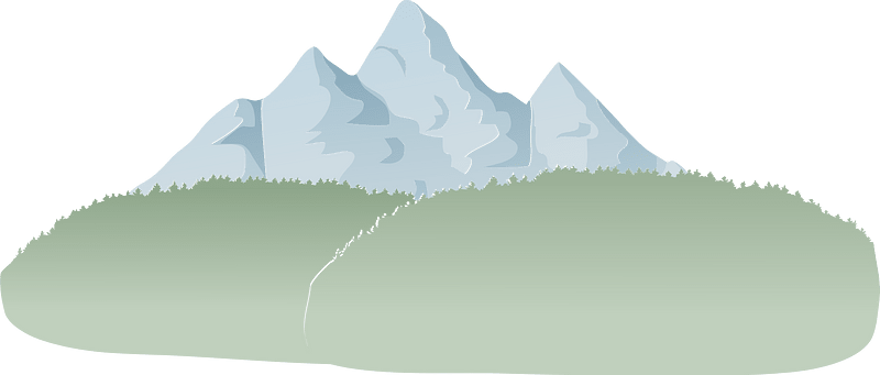
low poly
nature
photographs of the national flag of the united kingdom in canada
photographs by edward sheriff curtis
fantasy
nature
fantasy
nature
fantasy
nature
fantasy
nature
fantasy
nature
nature
rock
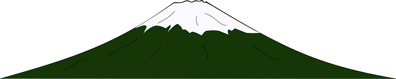
mountain
snow
along the river during the qingming festival
qingming in brief
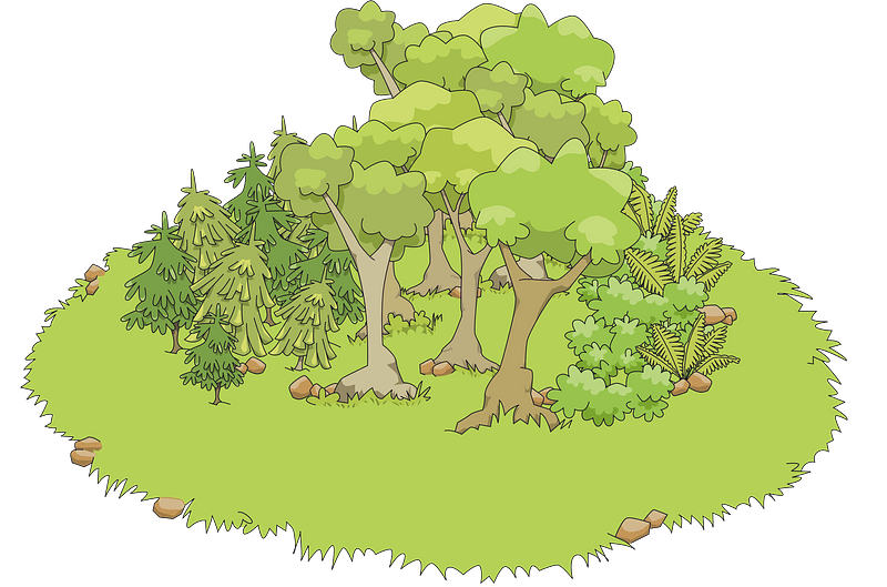
landscape
tree
101 - 182 of 182
/ 2