Log in
All resources
Create a design
54 Free Images of Indonesia In The 18th Century
maps of the dutch east india company - indonesia
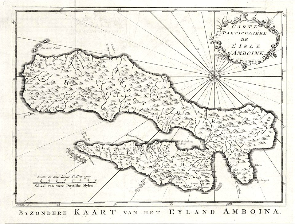
18th-century maps of indonesia
media from atlas of mutual heritage on dutch east india company
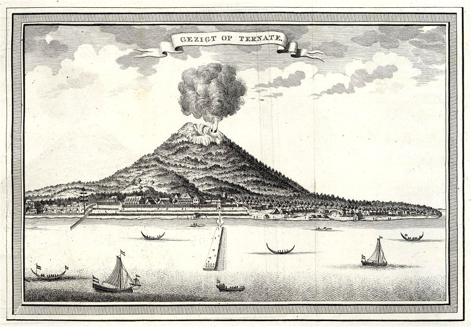
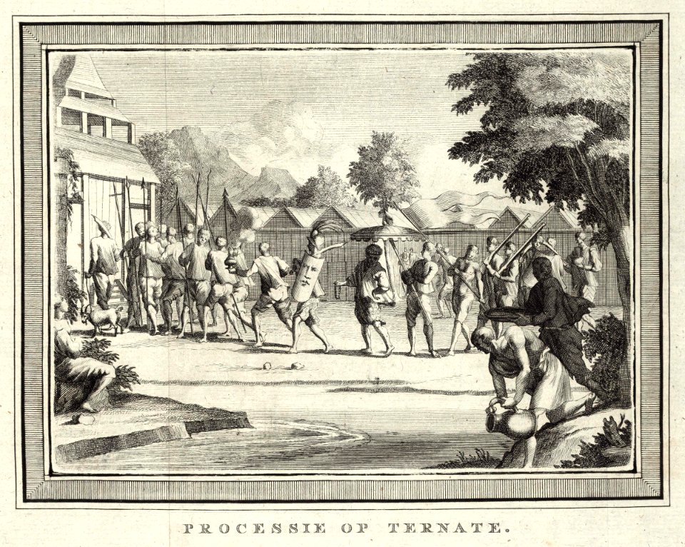
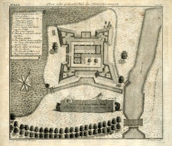
ternate
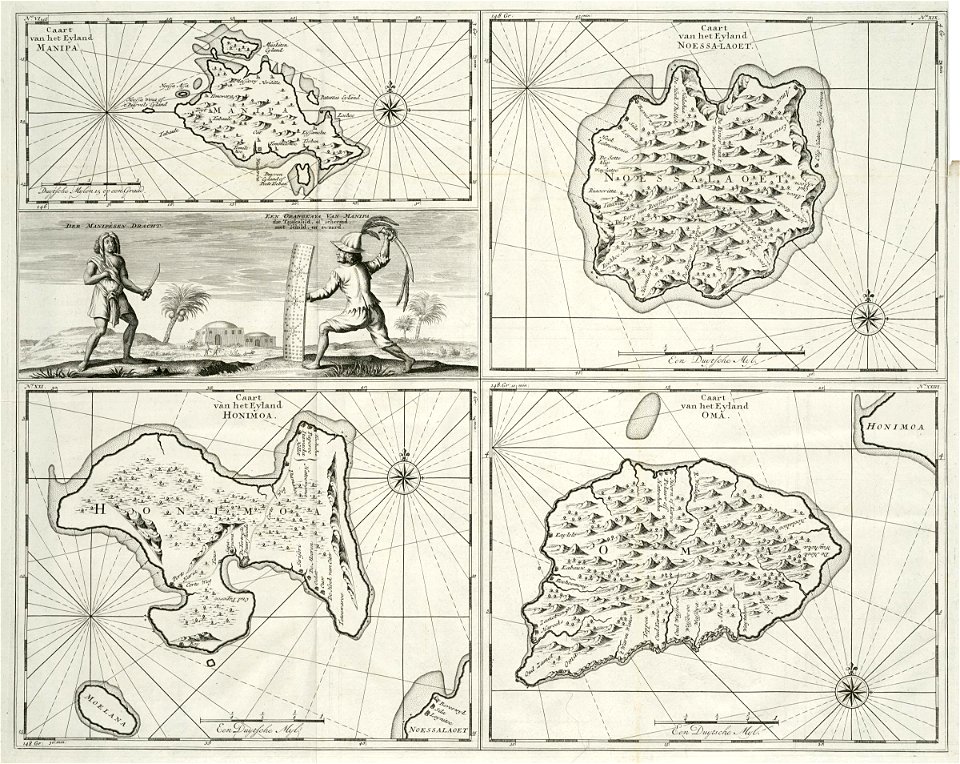
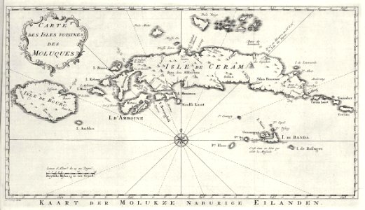
maps of the moluccas
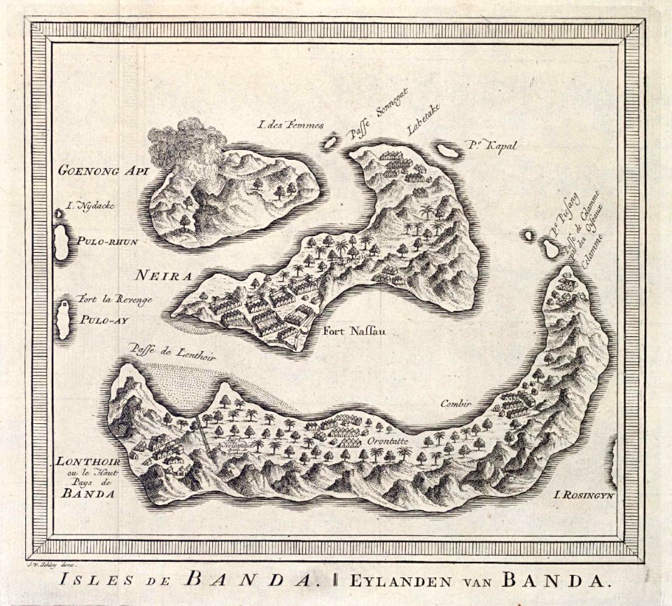
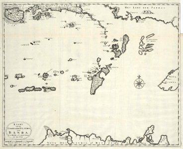
banda islands
1724
cc-zero
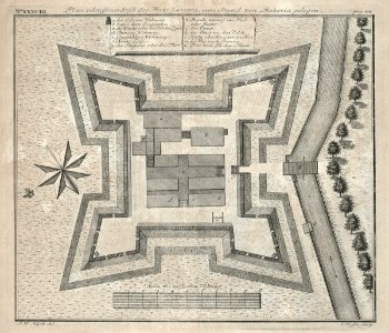
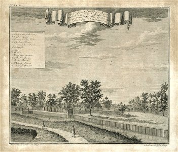
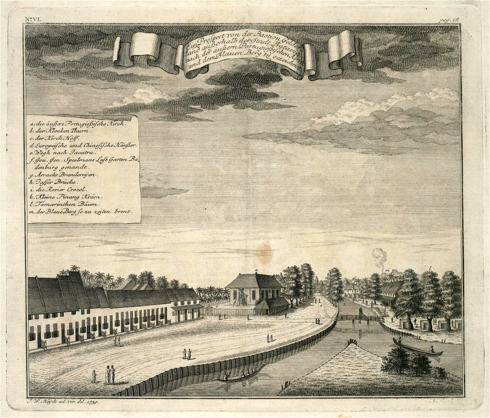
batavia
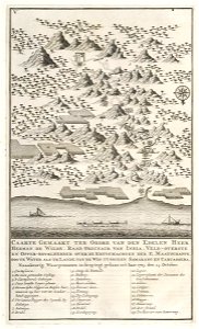
volcanic eruptions in indonesia in the 18th century
batavia
1740
media from atlas of mutual heritage on dutch east india company
ternate
media from atlas of mutual heritage on dutch east india company
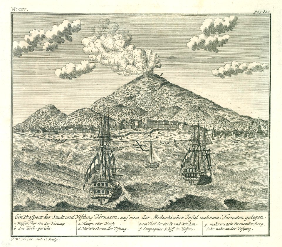
ternate
18th-century maps of indonesia
banda islands
media from atlas of mutual heritage on dutch east india company
ternate
collections of musée de la compagnie des indes
18th-century maps of indonesia
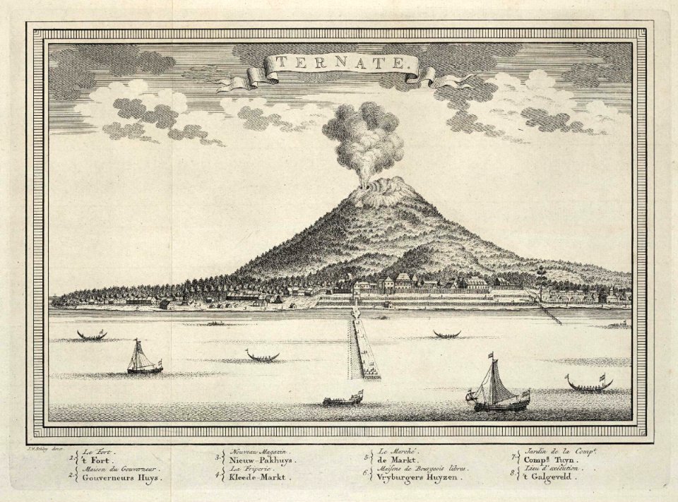
media from atlas of mutual heritage on dutch east india company
ternate
maps of the dutch east india company - indonesia
1739
18th-century maps of indonesia
1753 maps
18th-century maps of indonesia
1705
18th-century maps of indonesia
1753 maps
maps of the dutch east india company - indonesia
banda islands
18th-century maps of indonesia
1744
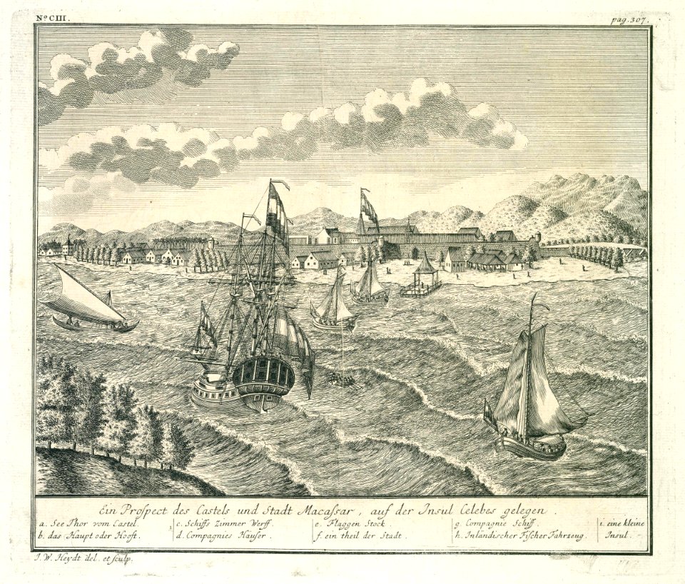
makassar
1757
18th-century maps of indonesia
1724
18th-century maps of indonesia
1724
media from atlas of mutual heritage on dutch east india company
ternate
18th-century maps of indonesia
1757
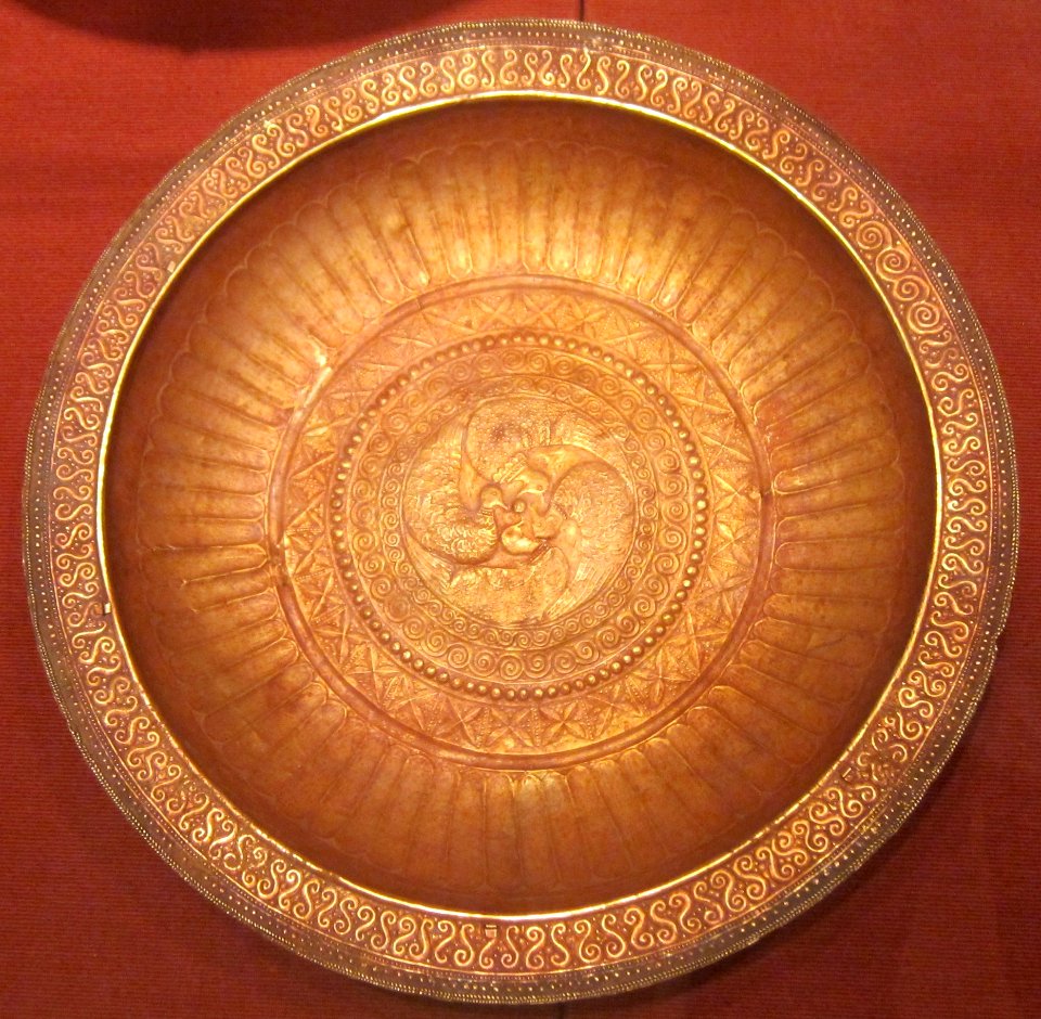
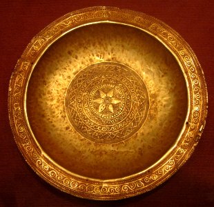
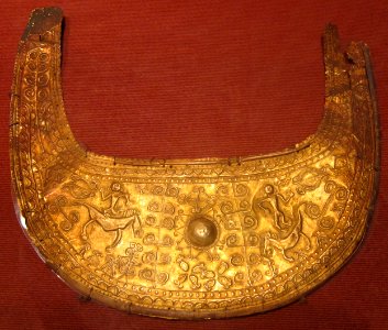
gold plating
circle
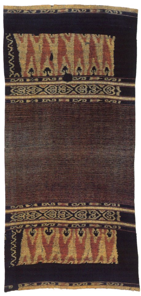
tanimbar islands
indonesian ikat
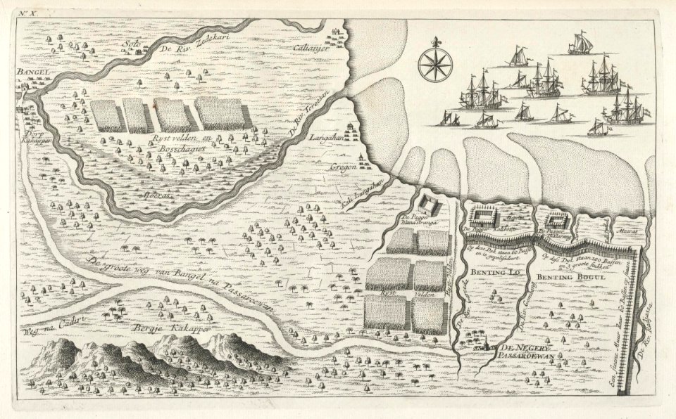
maps of the dutch east india company - indonesia
maps of east java
circle
gold
18th-century maps of indonesia
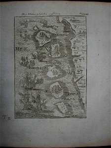
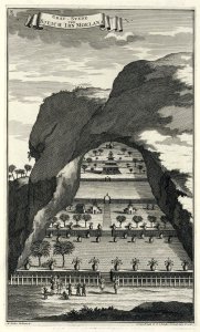
description de l'universe
18th-century maps of indonesia
1724
maps of the dutch east india company - indonesia
banda islands
self-published work
2011 photographs
1724 works in indonesia
1724 engravings
18th-century maps of indonesia
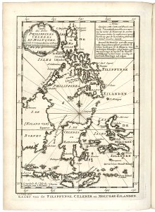
old maps of the philippines
media from atlas of mutual heritage on dutch east india company
1739
makassar
1730s
18th-century maps of indonesia
1744
18th-century maps of indonesia
maps by jacques-nicolas bellin
jakarta
1739
oil paintings of the royal museums greenwich
anyer
ottomar elliger (ii)
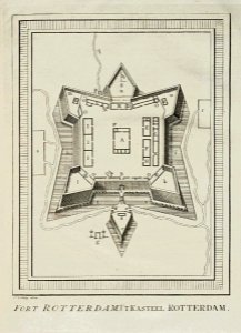
fort rotterdam
old maps of indonesia
old maps of tibet
18th-century maps of indonesia
maps of new guinea
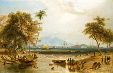
indonesia in the 18th century
johannes rach
indonesia in the 1710s
balinese people
slavery in indonesia
balinese people
indonesia in the 17th century
stadhuis batavia
old maps of the dutch east india company - malaysia
maps of the dutch east india company - indonesia
roadsteads in indonesia
batavia
maps of the dutch east india company - indonesia
claudius anthony van luepken
maps of the dutch east india company - indonesia
18th-century maps of sulawesi
dutch 18th-century drawings in the rijksmuseum amsterdam
drawings by hendrik kobell
watercolor paintings in the yale center for british art
watercolor paintings of landscapes
18th-century maps of southeast asia
description de l'universe
18th-century maps of borneo
1780s maps of indonesia
dutch 18th-century drawings in the rijksmuseum amsterdam
batavia castle
maps of the dutch east india company - indonesia
18th-century maps of java
18th-century maps of the malay archipelago
1790s maps of china
historical
history
maps in the rijksmuseum amsterdam
18th-century maps of indonesia
1 - 54 of 54
/ 1