Log in
All resources
Create a design
25 Free Images of Geography Of Algeria
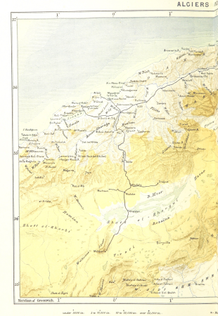
maps from the earth and its inhabitants, vol. xi
algeria in the 1800s
1870s maps of algeria
french algeria
1870s maps of tunisia
travel
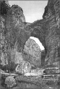
engraving
viajes
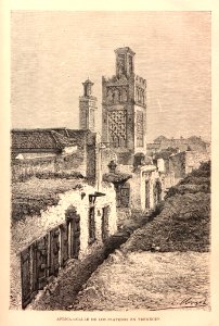
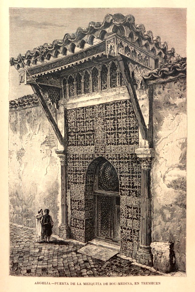
tlemcen
grabados
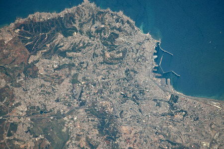
astronaut
blue
constantine
algeria
background
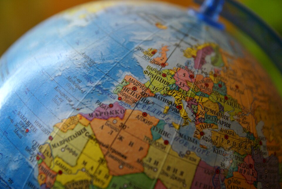
africa
maps from the earth and its inhabitants, vol. xi
algeria in the 1800s
maps from the earth and its inhabitants, vol. xi
africa in the 1890s
maps from the earth and its inhabitants, vol. xi
algeria in the 1800s
maps from the earth and its inhabitants, vol. xi
algeria in the 1800s
maps from the earth and its inhabitants, vol. xi
algeria in the 1800s
maps from the earth and its inhabitants, vol. xi
algeria in the 1800s
maps from the earth and its inhabitants, vol. xi
algeria in the 1800s
maps from the earth and its inhabitants, vol. xi
french west africa
geography of algeria
french algeria
maps from the earth and its inhabitants, vol. xi
algeria in the 1800s
maps from the earth and its inhabitants, vol. xi
algeria in the 1800s
maps from the earth and its inhabitants, vol. xi
1800s maps of algeria
r. & e. taylor (firm)
armand kohl
geography of adrar province
cartes de franz schrader
dictionnaire populaire illustré de décembre-alonnier-tome 2
lambese
maps from the earth and its inhabitants, vol. xi
1870s maps of tunisia
maps from the earth and its inhabitants, vol. xi
1870s maps of algeria
maps from the earth and its inhabitants, vol. xi
old maps of algeria
maps from the earth and its inhabitants, vol. xi
1870s maps of algeria
maps from the earth and its inhabitants, vol. xi
1870s maps of algeria
geography
travel
geography
travel
1 - 25 of 25
/ 1