Log in
All resources
Create a design
351 Free Images of Chesapeake Bay
water
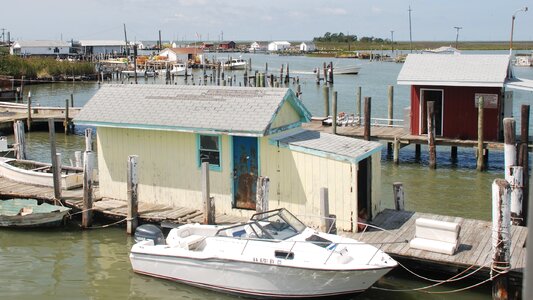
boat
maryland
ship
sea
beach
ocean
waterfront
free cliparts
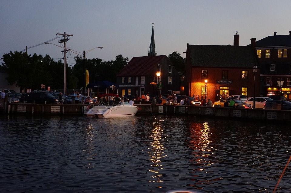
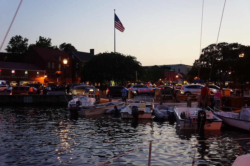
annapolis
dog breed
dog
aircraft
water
water
sea
landscape
water
water
city
water
boat
water
fish
water
boat
boat
sea
water
boat
landscape
nature
vehicle
water
agriculture
field
bridge
water
vehicle
water
travel
boat
water
boat
travel
water
travel
water
travel
water
travel
water
water
boat
water
sea
water
sea
architecture
water
water
sea
water
sea
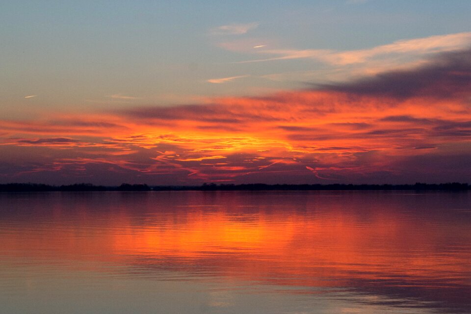
clouds
water
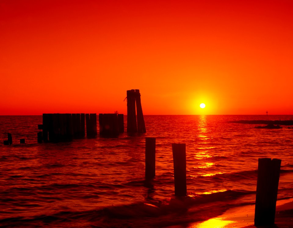
sunset
sea
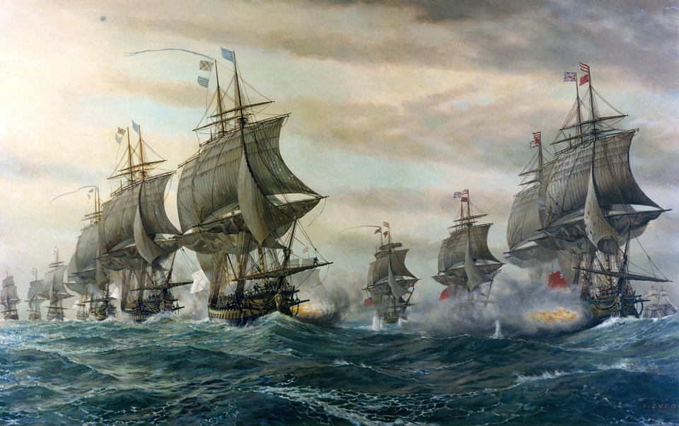
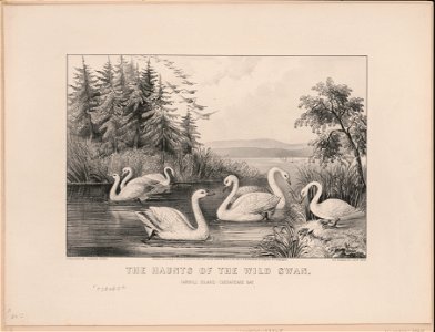
book illustration
book illustration
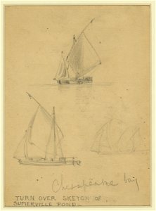
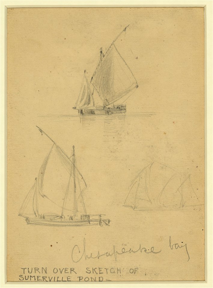
drawings (documentary) collection in the library of congress
drawings by alfred waud
drawings (documentary) collection in the library of congress
drawings by alfred waud
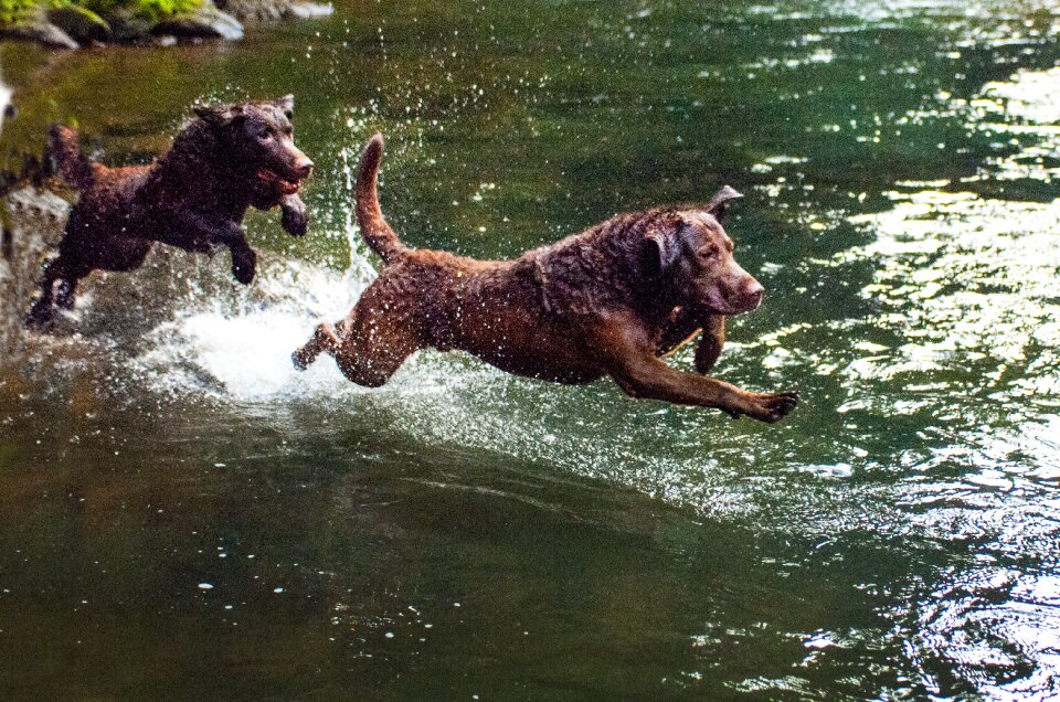
dog
pet
water
dog
water
boat
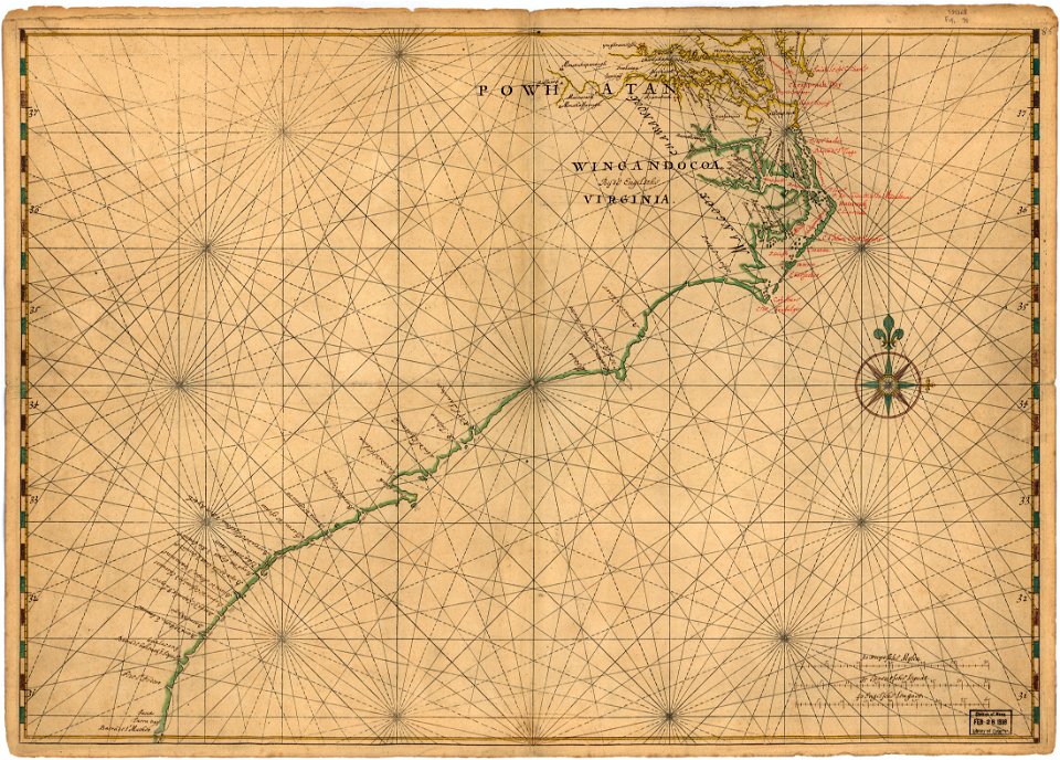
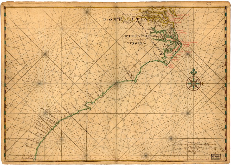
maps of the west-indische compagnie
1780
quaternary geology
1889 maps
water
boat
water
boat
drawings (documentary) collection in the library of congress
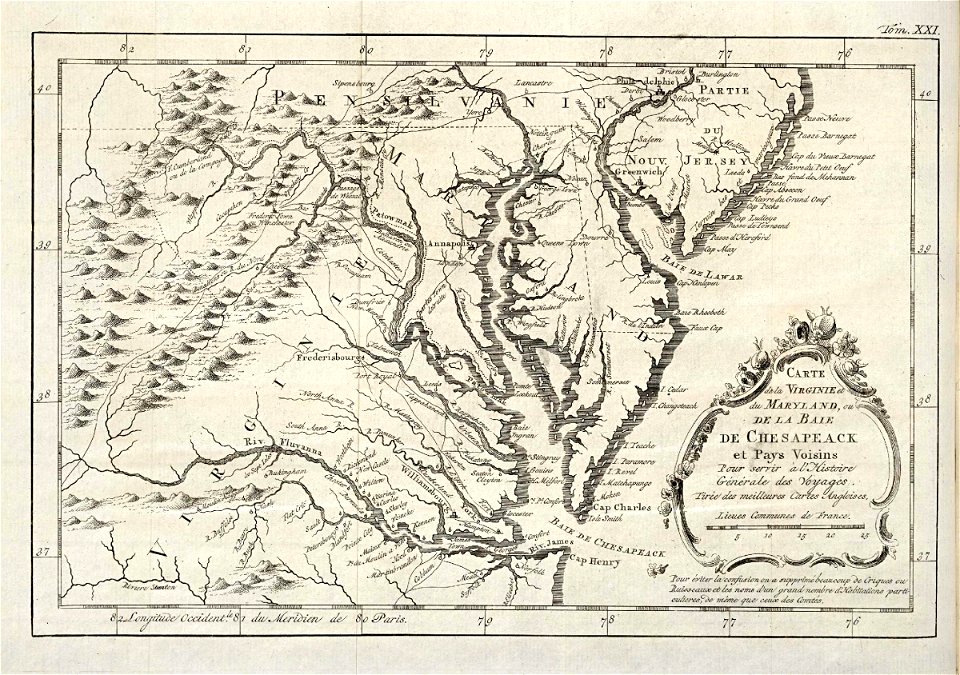
maps in the library of congress
old maps of maryland
drawings (documentary) collection in the library of congress
maps in the library of congress
old maps of maryland
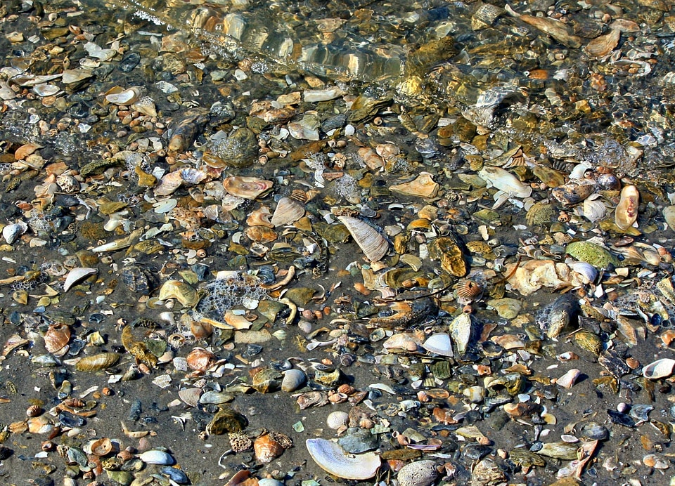
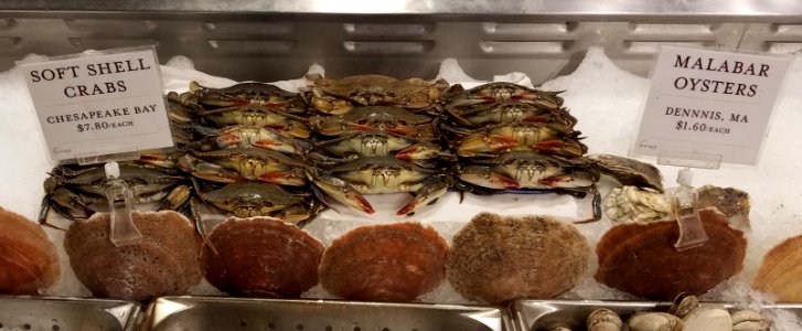
beach
sand
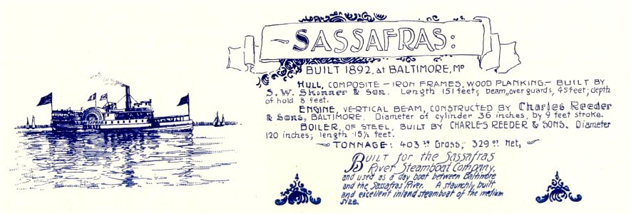
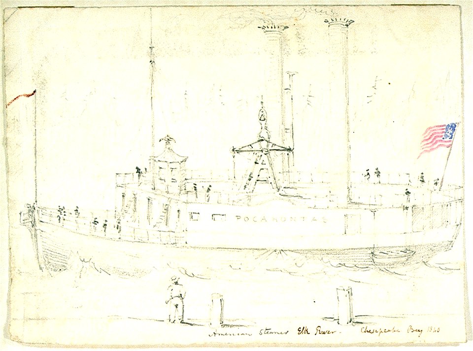
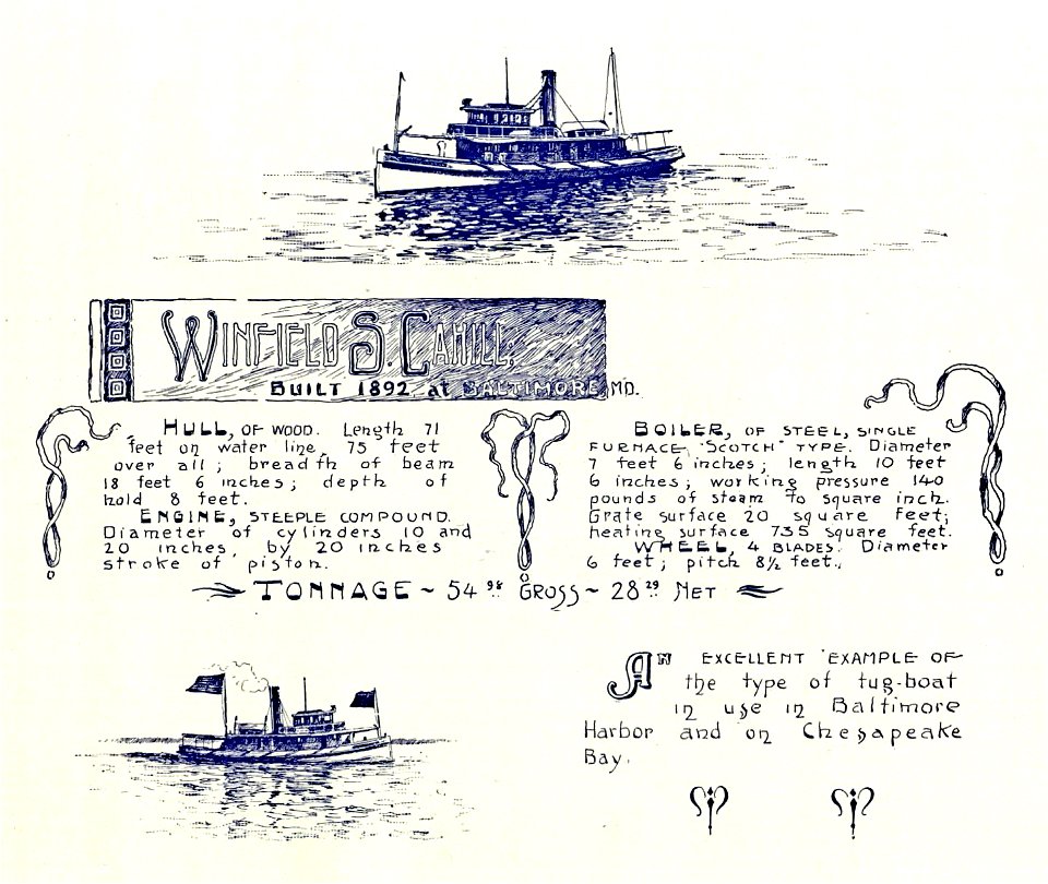
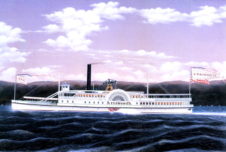
chesapeake bay steamboats
1892
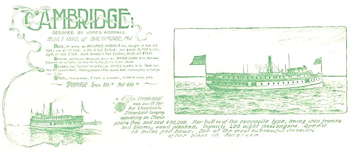
chesapeake bay steamboats
1890
boat
rope
water
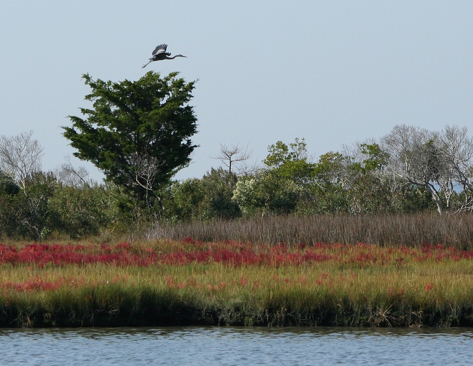
grass
national park
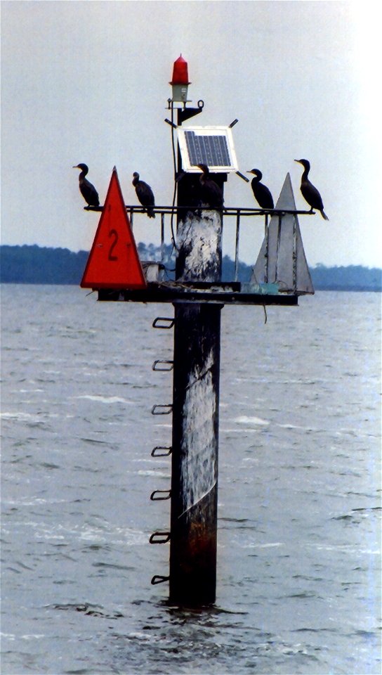
blue heron
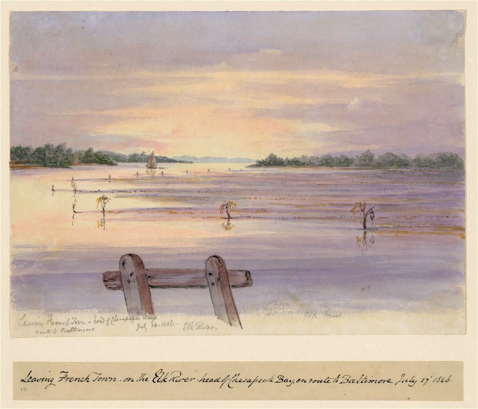
elk river (maryland)
printing
water
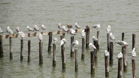
bird
tugboats of the united states
1892
water
boat
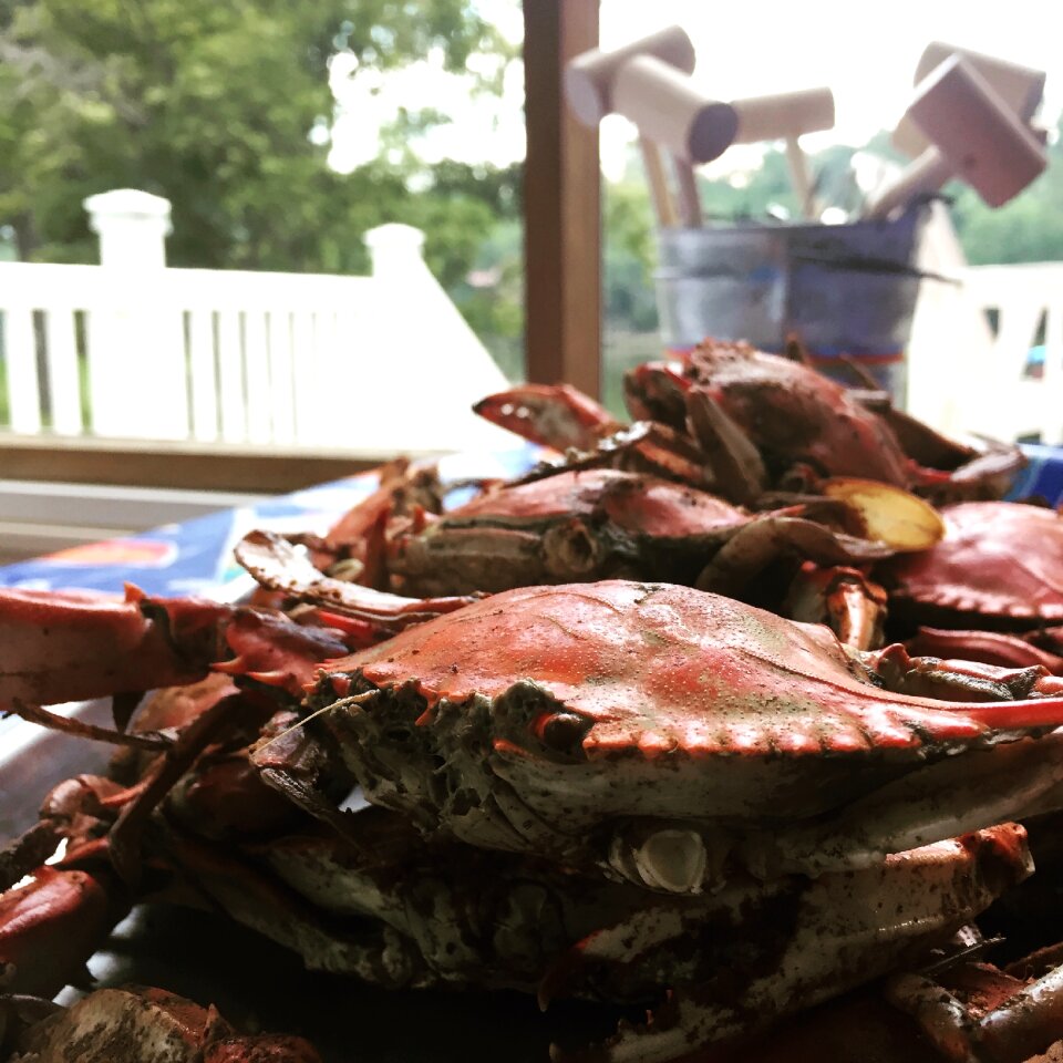
animals
food
nature
spring
surfing
water
water
fish
animals
nature
maritime
boat
landscape
water
water
fish
animals
bird
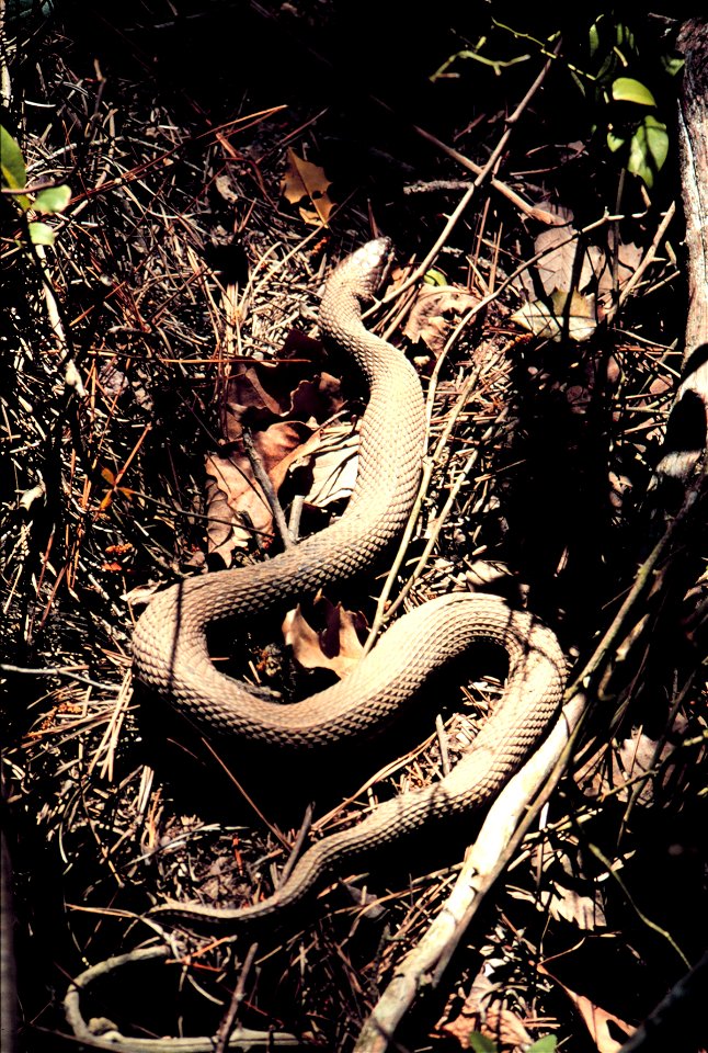
reptiles
animals
animals
food
predator
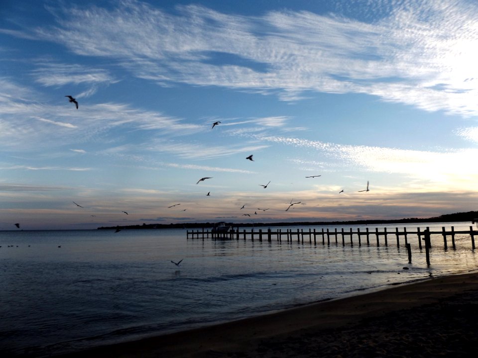
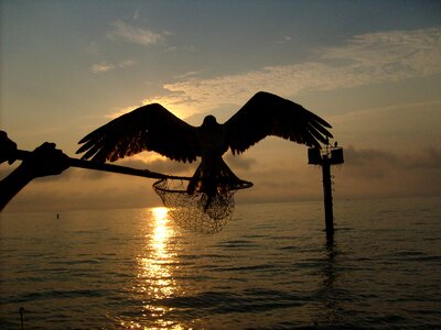
bird
water
rock
animals
bird
landscape
sunny
forest
water
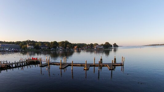
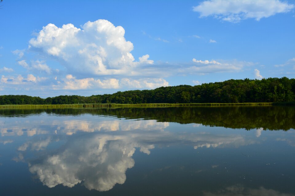
chesapeake bay
blue
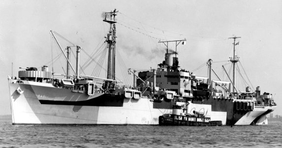
boat
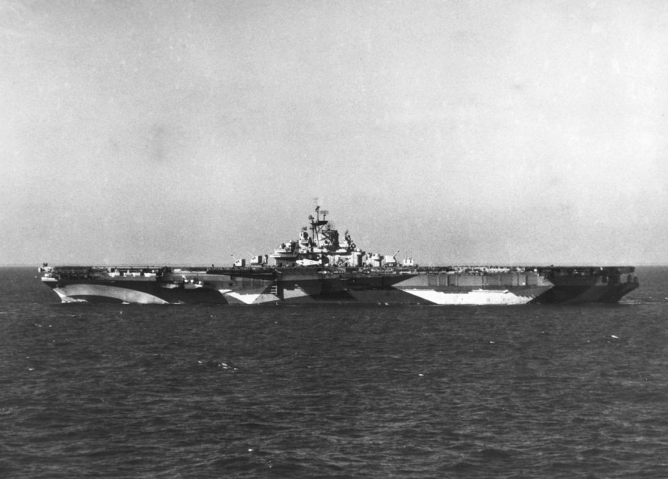
ship
water
boat
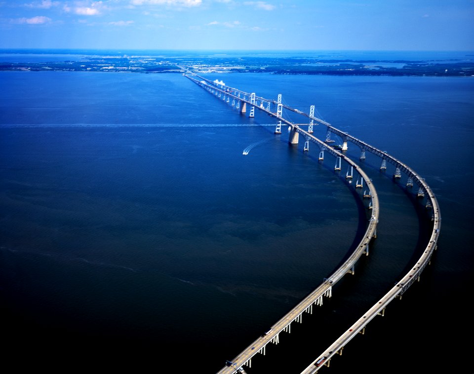
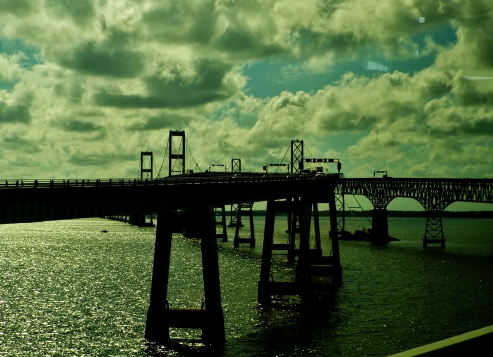
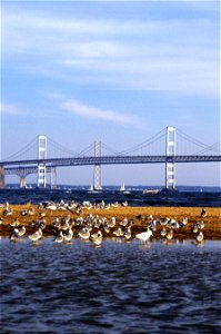
chesapeake bay bridge
aircraft
water
sea
animals
swamp
water
fish
landscape
tree
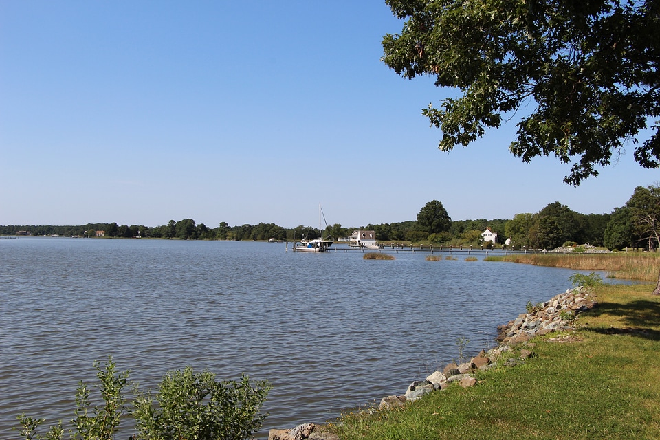
chesapeake bay
blue
boat
sea
boat
ship
boat
ship
chesapeake bay
ship
animals
travel
boat
ship
clouds
water
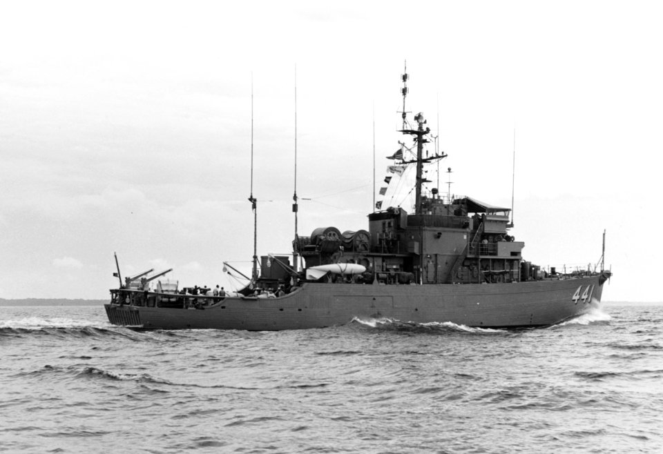
torpedo rooms on united states navy submarines
uss norfolk (ssn-714)
boat
sea
boat
sea
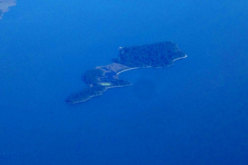
aircraft
blue
vehicle
water
aircraft
blue
reptiles
animals
self-published work
food
vehicle
boat
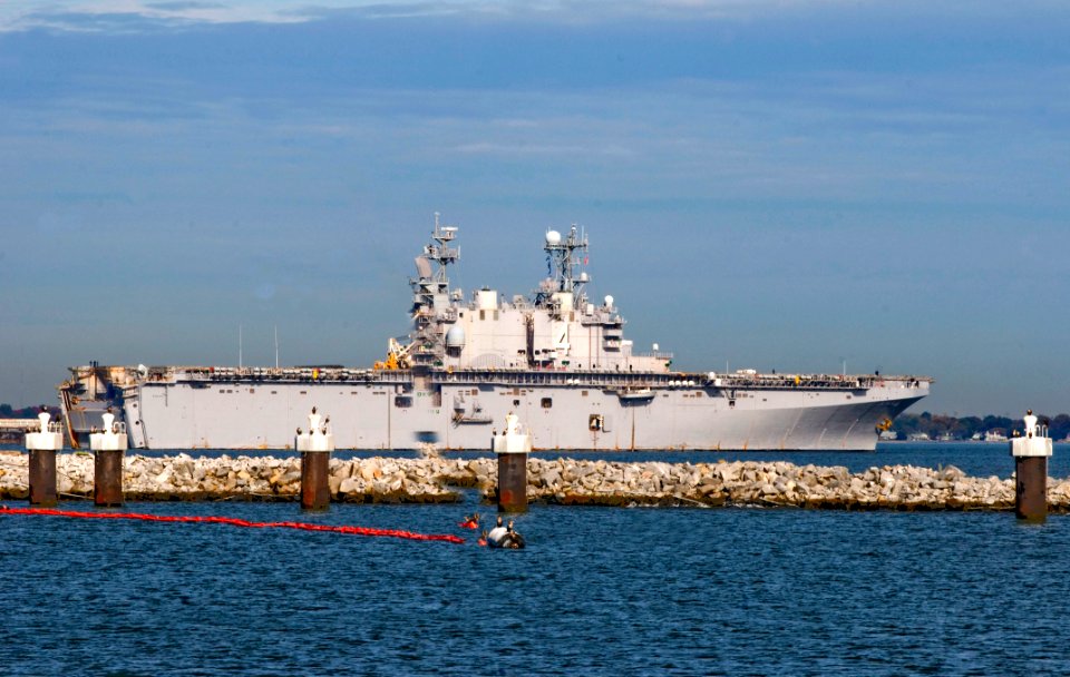
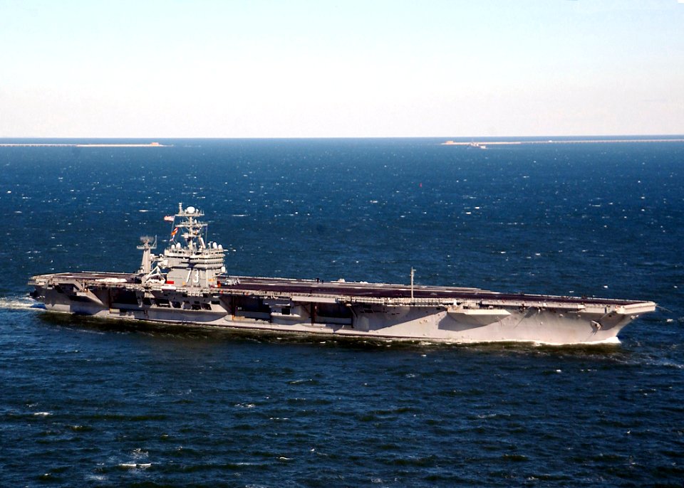
manning the rail on uss harry s. truman (cvn-75)
naval station norfolk
vehicle
sea
manning the rail on uss harry s. truman (cvn-75)
naval station norfolk
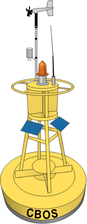
chesapeake bay
cbos
animals
bird
1 - 100 of 351
Next page
/ 4