Log in
All resources
Create a design
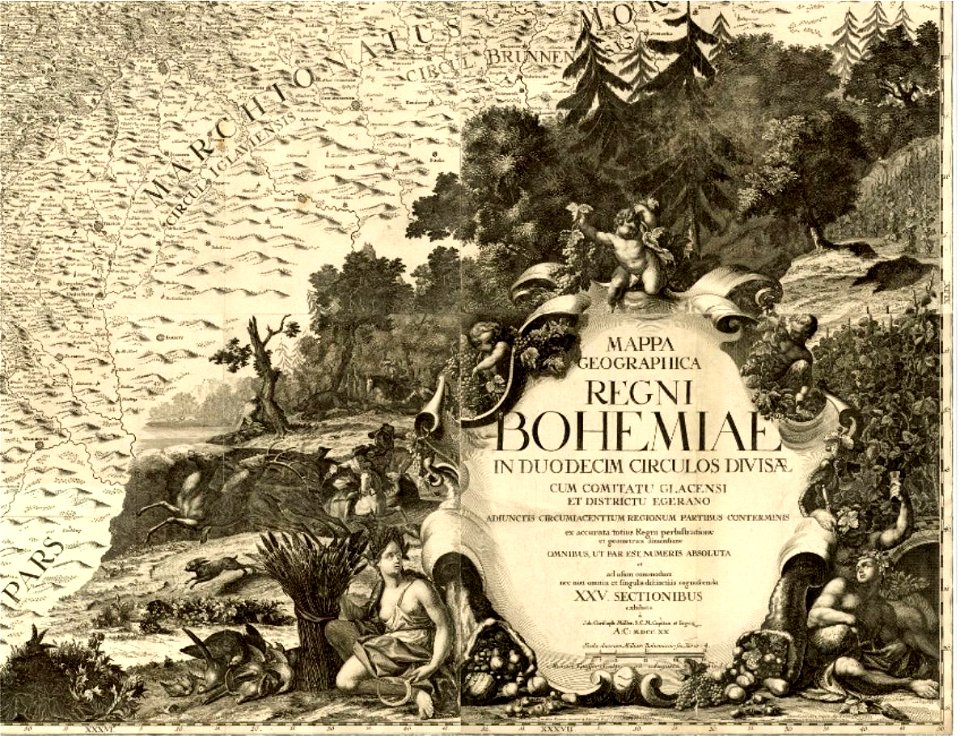
57 Free Images of Cartouche (cartography)
bibliothèque nationale de france
eran laor cartographic collection
map
national library of israel
university of washington
henricus hondius ii, nova totius terrarum orbis geographica ac hydrographica tabula, 1630
henricus hondius ii
philippe buache
cartouches by joseph roux
joseph roux
cartouche (cartography)
matthäus seutter
cartouche (cartography)
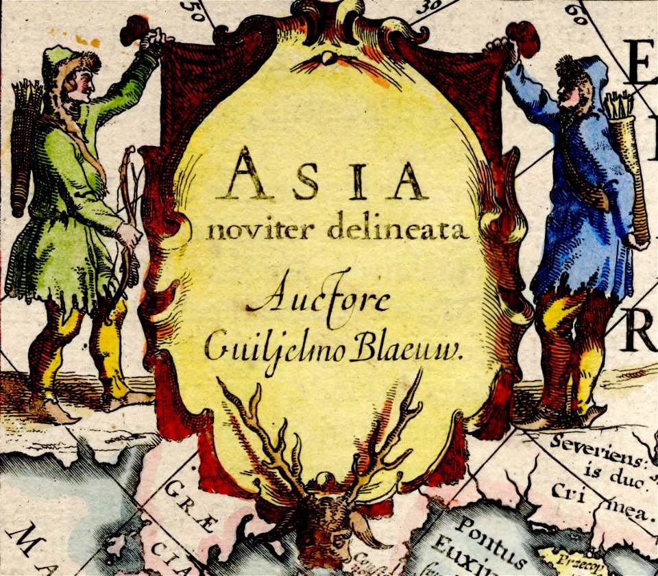
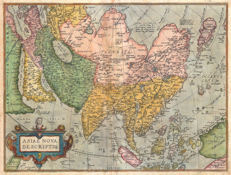
asia noviter delineata
maps by frederick de wit
1680s maps of asia
cartouche (cartography)
václav vavřinec reiner
david rumsey historical map collection
fur garments in art
david rumsey historical map collection
j. and p. knapton
early modern netherlandish cartography
maps with cartouches
color engravings
jodocus hondius
cartouches by joseph roux
roux family (painters)
cartouche (cartography)
erik palmqvist
cartouche (cartography)
carolus allard
maps of delft by braun & hogenberg
cartouche (cartography)
maps by giacomo gastaldi
cornelis de jode
maps by giacomo gastaldi
cornelis de jode
maps of aalst by braun & hogenberg
cartouche (cartography)
arnold van langren map of southwest africa
cartouche (cartography)
cartouches by joseph roux
cartouche (cartography)
cartouche (cartography)
cornelis de jode
frontispieces from england
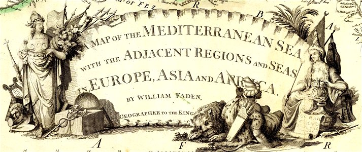
maps by william faden
cartouche (cartography)
jean-claude dezauche
cartouche (cartography)
nicholas tindal
cartouche (cartography)
cornelis danckerts (ii)
cartouches by joseph roux
cartouche (cartography)
cartouche (cartography)
pierre mariette i
cartouche (cartography)
maps by john rocque
eran laor cartographic collection
afbeeldinge der stad jerusalem
laurent jean-françois truguet
cartouche (cartography)
maps in the british museum
clément-pierre marillier
cartouche (cartography)
pierre françois tardieu
sanson maps of asia
1670s maps of asia
a description of the east, and some other countries (1743) knapton
cartouche (cartography)
an account of the pelew islands
1788 fleurons
an account of the pelew islands
1793 fleurons
uncategorized images of the rijksmuseum
cartouche (cartography)
henricus hondius ii, nova totius terrarum orbis geographica ac hydrographica tabula, 1630
eran laor cartographic collection
atlas van der hagen (volume 4)
german renaissance
maps by jodocus hondius
1610 maps of europe
maps of the course of the rhine by guillaume sanson
bibliothèque nationale de france
maps of the course of the rhine by guillaume sanson
bibliothèque nationale de france
henricus hondius ii, nova totius terrarum orbis geographica ac hydrographica tabula, 1630
eran laor cartographic collection
henricus hondius ii, nova totius terrarum orbis geographica ac hydrographica tabula, 1630
eran laor cartographic collection
henricus hondius ii, nova totius terrarum orbis geographica ac hydrographica tabula, 1630
eran laor cartographic collection
henricus hondius ii, nova totius terrarum orbis geographica ac hydrographica tabula, 1630
eran laor cartographic collection
henricus hondius ii, nova totius terrarum orbis geographica ac hydrographica tabula, 1630
eran laor cartographic collection
17th-century maps of the strait of magellan
maps by willem and johannes blaeu
maps of the iberian peninsula by guillaume delisle
1700s maps of the iberian peninsula
carte de moscovie by guillaume de l'isle (1706)
university of washington
cartouches by guillaume delisle
philippe buache
maps of mexico by mercator-hondius
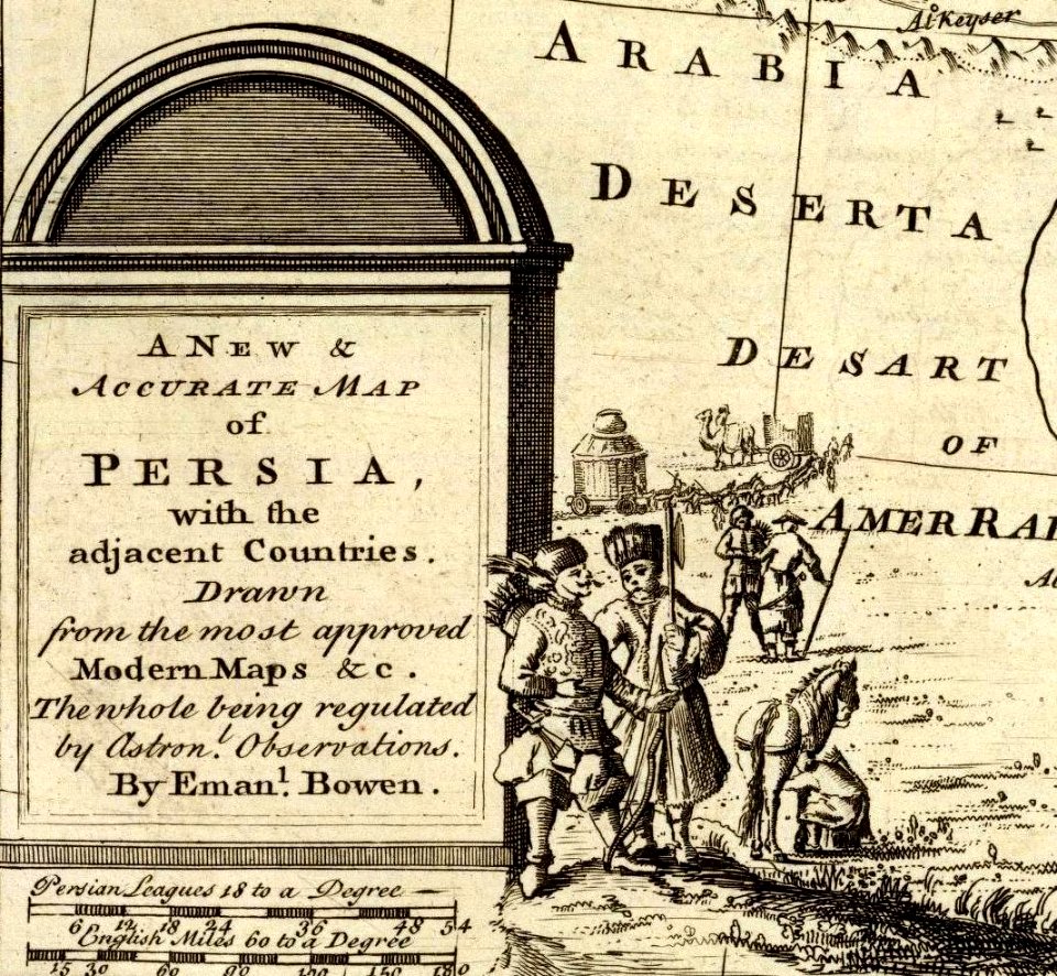
maps by emanuel bowen
1744 fleurons
map of europe by guillaume delisle (1700)
university of washington
carte de l'isle de ceylan by guillaume delisle (1722)
philippe buache
french-language maps of north america
1809 maps of north america
maps in the rijksmuseum amsterdam
cartouche (cartography)
carte des côtes de malabar et de coromandel (1723)
philippe buache
carte de l'afrique françoise par guillaume delisle (1726)
philippe buache
mappe-monde geo-hydrographique (sanson and jaillot, 1674)
cartography of france
1 - 57 of 57
/ 1


![Duchy of Bourbonnois / [Pierre Mariette], Pierre Mariette I, 1668](https://cdn.creazilla.com/illustrations/10000907076/duchy-of-bourbonnois-pierre-mariette-pierre-mariette-i-1668-md.jpg)