Log in
All resources
Create a design
26 Free Images of Candia In The 17th Century
old maps of candia
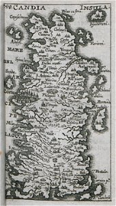
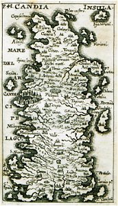
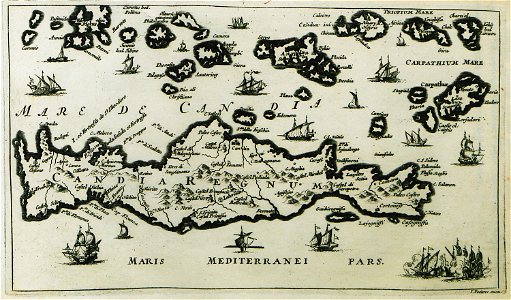
17th-century maps of crete
kurtze beschreibung von republick venedig
jacob von sandrart
bibliothèque nationale de france
marco boschini
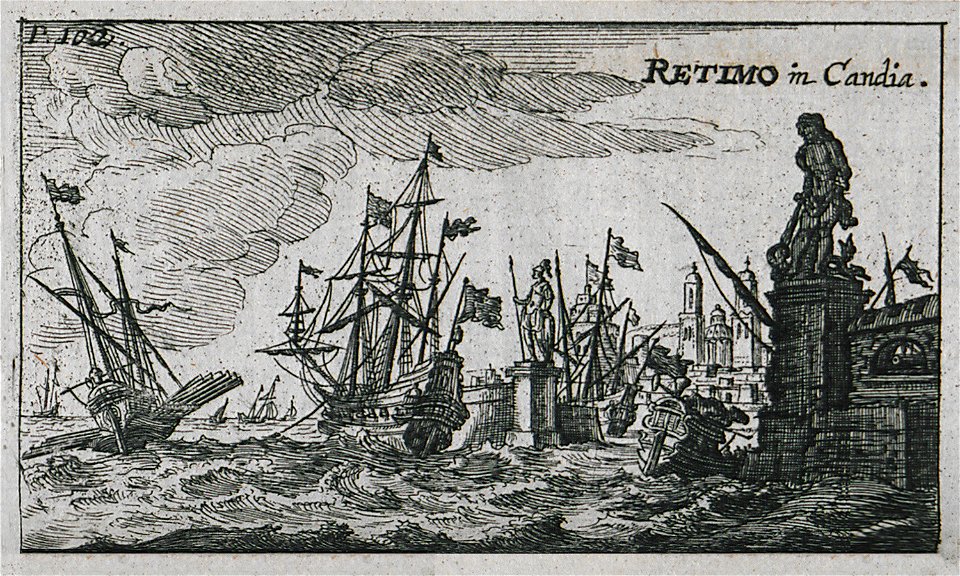
17th-century engravings of towns
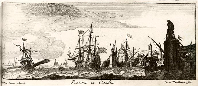
jacob peeters
paper
korte beschryvinghe (1686)
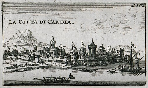
heraklion venetian walls
1651 in candia
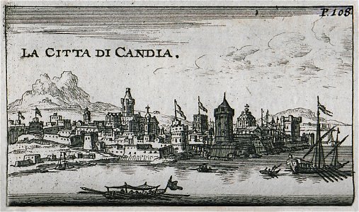
candia in the 17th century
baroque
kurtze beschreibung von republick venedig
candia in the 17th century
kurtze beschreibung von republick venedig
candia in the 17th century
candia in the 17th century
baroque
17th-century maps of crete
old maps of candia
flemish prints in the british museum
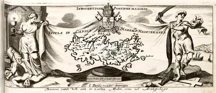
coenraed lauwers
kurtze beschreibung von republick venedig
17th-century engravings of towns
francesco morosini in museo correr
may 2023 in venice
flemish prints in the british museum
coenraed lauwers
korte beschryvinghe (1686)
candia in the 17th century
kurtze beschreibung von republick venedig
views of rethymno
17th-century maps of crete
old maps of candia
17th-century maps of crete
old maps of candia
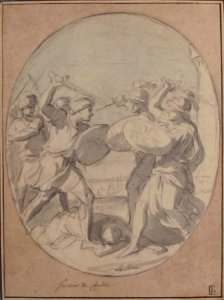
drawings by charles le brun
classicism,baroque
drawings by charles le brun
classicism,baroque
korte beschryvinghe (1686)
candia in the 17th century
korte beschryvinghe (1686)
candia in the 17th century
korte beschryvinghe (1686)
old maps of candia
description des principales villes (1690)
old maps of candia
kurtze beschreibung von republick venedig
17th-century engravings of towns
kurtze beschreibung von republick venedig
17th-century engravings of towns
kurtze beschreibung von republick venedig
17th-century engravings of towns
kurtze beschreibung von republick venedig
17th-century engravings of towns
maps of ports and fortresses of the mediterranean by marco boschini (1651)
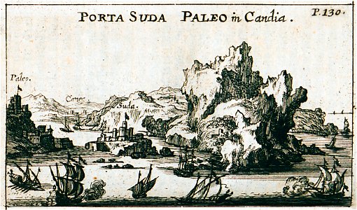
old maps of souda (crete)
1640s maps of greece
marco boschini
1 - 26 of 26
/ 1