Log in
All resources
Create a design
201 Free Images of 19th Century Maps Of France
pages with maps
cc-zero
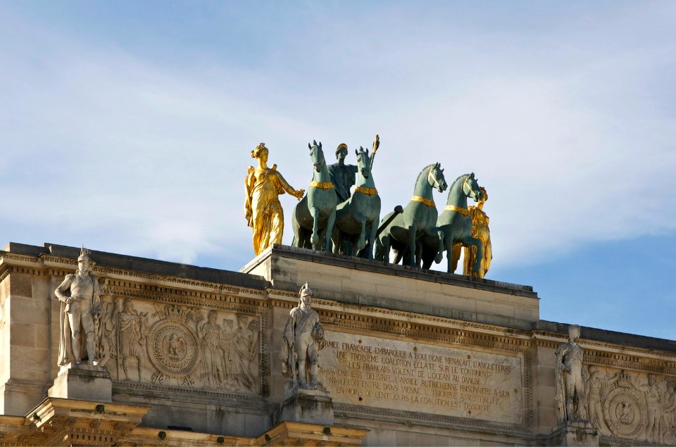
architecture
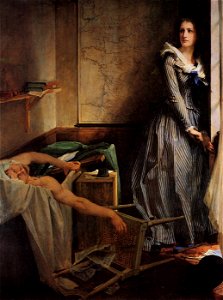
maps in portrait paintings
photographs by henk van gaal
media with estimated locations
quality images by jebulon
quality images
quality images missing sdc depicts
oil on canvas
self-published work
pages with maps
architecture
exterior
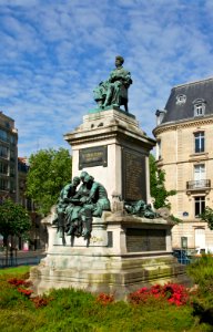
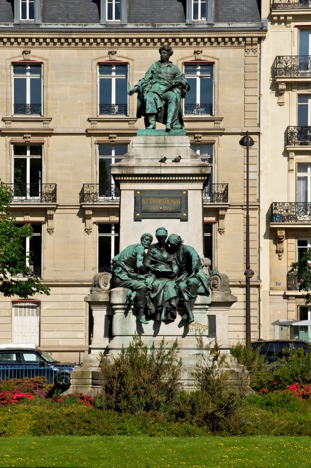
statues of people of france
self-published work
architecture
facade
portrait paintings in the kimbell art museum
portrait paintings by louis-léopold boilly
self-published work
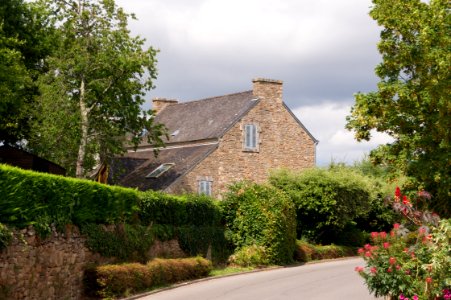
village
self-published work
cc-pd-mark
architecture
city
self-published work
brick construction
statues of sitting men in france
self-published work
self-published work
architecture
self-published work
architecture
19th-century portrait paintings in the musée national du château de versailles
jean-adolphe beaucé
self-published work
pages with maps
self-published work
architecture
objects with black background
self-published work
self-published work
pages with maps
self-published work
pages with maps
jean-baptiste wicar
neoclassicism
self-published work
architecture
self-published work
pages with maps
portraits of marshals of france (series commissioned by louis philippe i - versailles)
neoclassicism
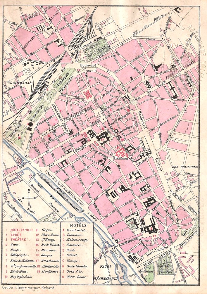
reims in the 19th century
maps of reims
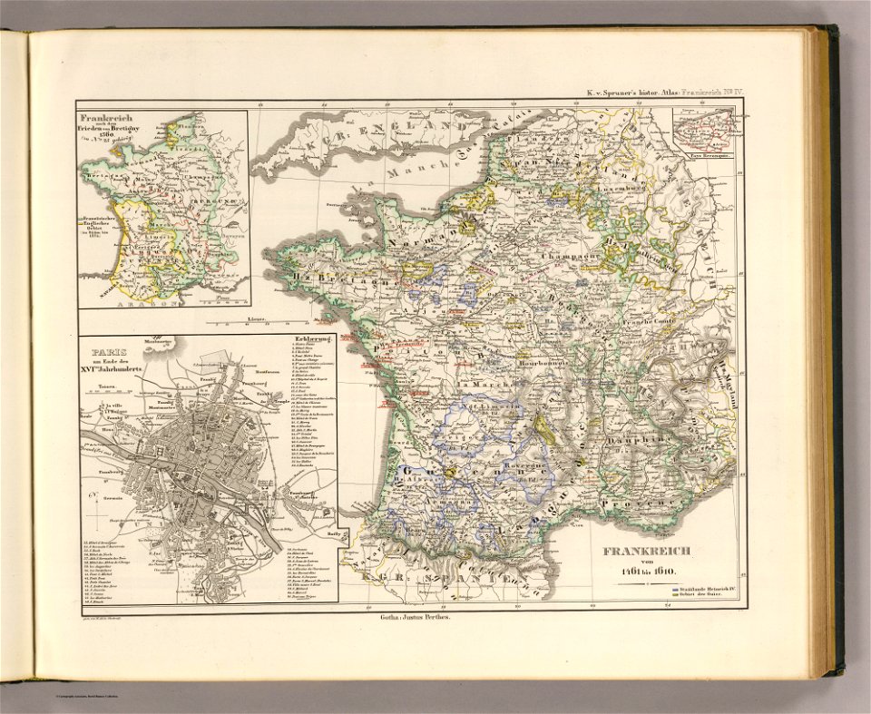
19th-century maps of france
1855 maps
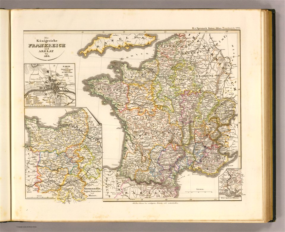
administrative history of france
latin-language maps
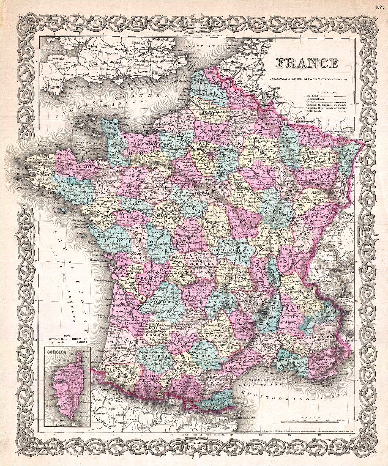
david rumsey historical map collection
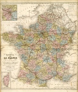
19th-century maps of france
david rumsey historical map collection
1866 in paris
david rumsey historical map collection
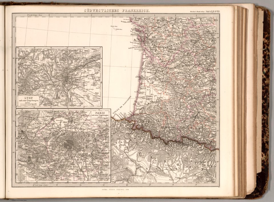
19th-century maps of france
skillshare 2010 stadtarchiv
card
fonds ancely - bibliothèque municipale de toulouse - maps
19th-century maps of france
19th-century oil on canvas paintings in france
people with maps in art
self-published work
pages with maps
self-published work
pages with maps
1860 oil on canvas paintings in france
the death of marat
19th-century oil portraits of standing men at full length
feathered headdresses in art (male)
cornell university library
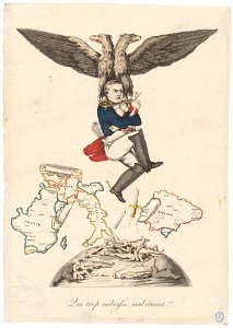
caricature
19th-century portrait paintings in the musée national du château de versailles
françois joseph kinson
1870s paintings from france
1876 paintings
1860s portrait paintings from france
statesmen
self-published work
pages with maps
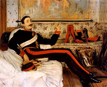
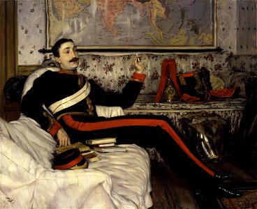
portraits with cigarette or cigar
london
jean-baptiste mauzaisse
fougères
architecture
orange
self-published work
roof
portraits with cigarette or cigar
london
portrait paintings with natural background
jean lannes
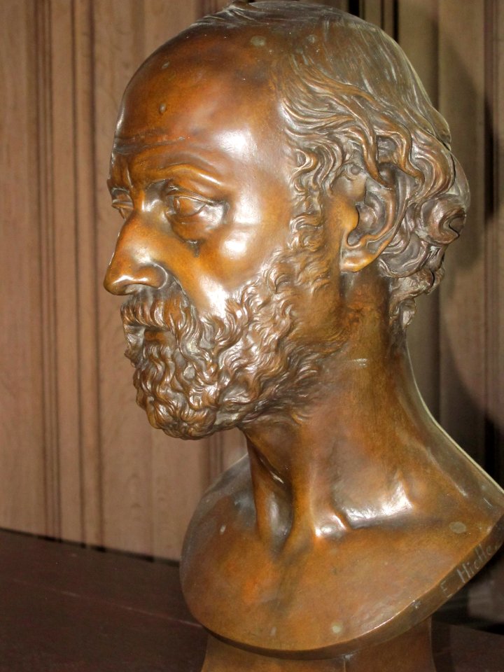
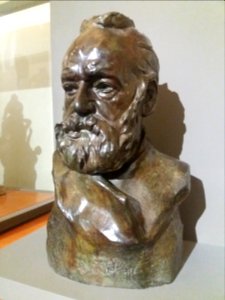
busts of victor hugo by auguste rodin
self-published work
self-published work
pages with maps
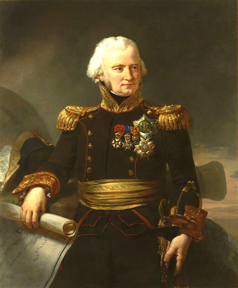
badges of the legion of honour in portrait paintings
military uniforms of france second empire
self-published work
architecture
self-published work
pages with maps
self-published work
pages with maps
19th-century oil portraits of standing men at full length in military uniforms
stars of chivalric orders in portrait paintings
self-published work
pages with maps
self-published work
pages with maps
architecture
town
self-published work
architecture
self-published work
pages with maps
self-published work
city
19th-century portrait paintings in the musée national du château de versailles
jean charles nicaise perrin
village
town
self-published work
architecture
self-published work
pages with maps
architecture
city
french paintings in the musée des beaux-arts de strasbourg
ermine (clothing) in art
self-published work
town
travel
city
self-published work
architecture
self-published work
architecture
self-published work
pages with maps
self-published work
pages with maps
architecture
color
self-published work
architecture
self-published work
architecture
self-published work
pages with maps
forest
tree
water
tree
portraits of marshals of france (series commissioned by louis philippe i - versailles)
henri-frédéric schopin
nicolas-andré monsiau
neoclassicism
portrait paintings in the musée thomas-henry
male portraits by robert lefèvre
portraits by charles-philippe larivière
neoclassicism
19th-century portrait paintings in the musée de l'armée
nicolas gosse
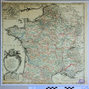
old maps of the kingdom of france (987-1792)
19th-century maps of the british isles
portraits by charles-philippe larivière
neoclassicism
19th-century maps of bohemia
19th-century maps of silesia
cartes de franz schrader
1894 maps of france
antoine-françois tardieu
maps from gallica
cartes de franz schrader
1894 maps of france
maps by john cary
1799 maps
maps from géographie illustrée de la france et de ses colonies
1868 maps
19th-century maps of seine-et-marne
maps of the forest of fontainebleau
cartes de franz schrader
1894 maps of france
old maps of algiers
maps from gallica
paintings in the musée de la marine de toulon
émile vernet-lecomte
cartes de franz schrader
1894 maps of france
19th-century maps of nièvre
1852 maps of france
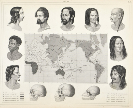
racial type portraits
racial maps
cartes de franz schrader
cayenne
maps from géographie illustrée de la france et de ses colonies
orientalist painting
victor levasseur - maps of france
neoclassicism,romanticism
1 - 100 of 201
Next page
/ 3