Log in
All resources
Create a design
17 Free Images of 18th Century Maps Of Zeeland
maps by isaak tirion
isaak tirion
maps in the rijksmuseum amsterdam
prints of cartouches in the rijksmuseum amsterdam
hedendaagsche historie of tegenwoordige staat van alle volkeren (thomas salmon)
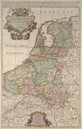
1750s maps of the netherlands
old maps of schouwen-duiveland
media from tu delft
1753 maps
maps from university of amsterdam special collections
world
maps
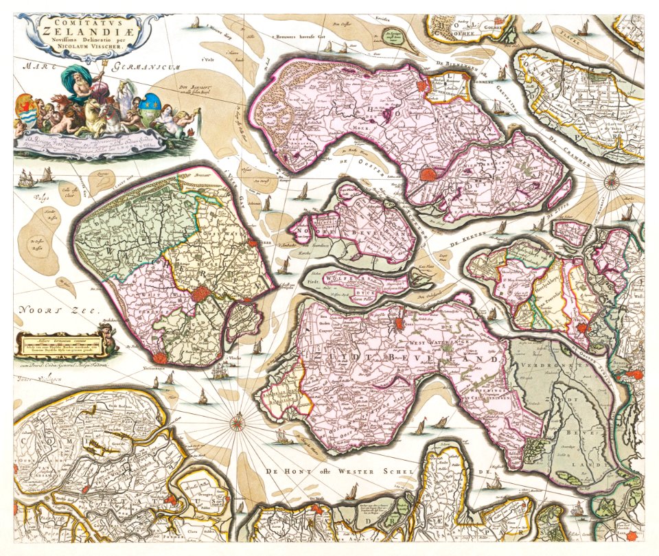
18th-century maps of zeeland
county of zeeland
18th-century maps of zeeland
maps by isaak tirion
18th-century maps of zeeland
maps by isaak tirion
1750s maps of the netherlands
18th-century maps of zeeland
prints of cartouches in the rijksmuseum amsterdam
maps in the rijksmuseum amsterdam
maps from university of amsterdam special collections
atlas der neederlanden
maps in the rijksmuseum amsterdam
old maps of tholen
prints of cartouches in the rijksmuseum amsterdam
maps in the rijksmuseum amsterdam
prints of cartouches in the rijksmuseum amsterdam
maps in the rijksmuseum amsterdam
maps from university of amsterdam special collections
atlas der neederlanden
prints of cartouches in the rijksmuseum amsterdam
maps in the rijksmuseum amsterdam
prints of cartouches in the rijksmuseum amsterdam
maps in the rijksmuseum amsterdam
prints of cartouches in the rijksmuseum amsterdam
maps in the rijksmuseum amsterdam
prints of cartouches in the rijksmuseum amsterdam
maps in the rijksmuseum amsterdam
maps in the rijksmuseum amsterdam
old maps of tholen
works after cornelis pronk
old maps of arnemuiden
1 - 17 of 17
/ 1