Log in
All resources
Create a design
12 Free Images of 18th Century Maps Of Veneto
atlante veneto (raremaps.com) volume 2
18th-century maps of lombardy
old maps of veneto
1700s maps of slovenia
1700s maps of italy
maps by alexis-hubert jaillot
robert cordier (engraver)
bibliothèque nationale de france
maps of the duchy of mantua
county of tyrol
atlante veneto (raremaps.com) volume 2
maps of milan
atlante veneto (raremaps.com) volume 2
maps of the duchy of mantua
atlante veneto (raremaps.com) volume 2
18th-century maps of lombardy
atlante veneto (raremaps.com) volume 2
18th-century maps of lombardy
atlante veneto (raremaps.com) volume 2
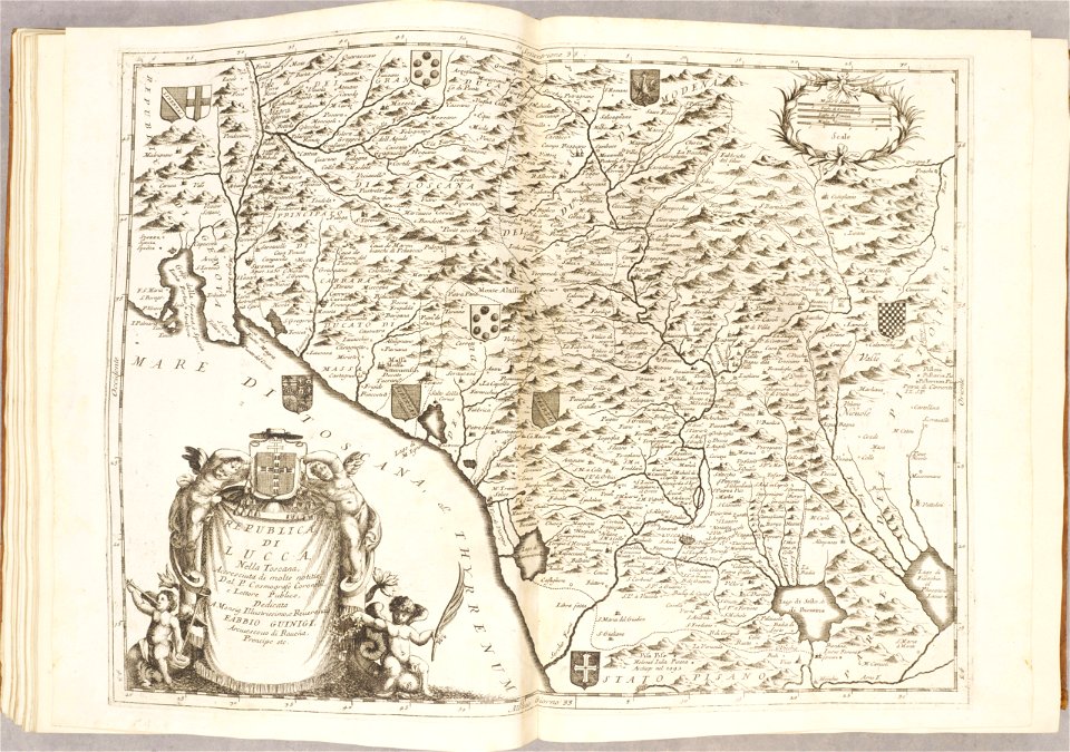
republic of lucca
18th-century maps of italy
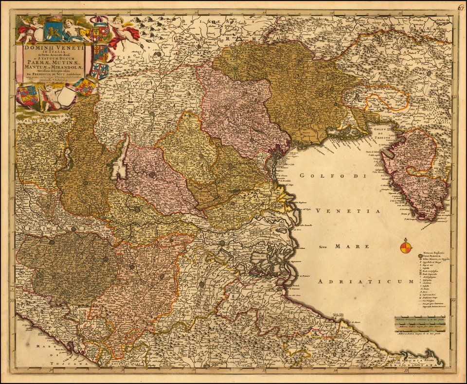
frederick de wit
maps by john cary
county of tyrol
maps by john cary
county of tyrol
18th-century maps of veneto
1700s maps of slovenia
maps of the world with orthographic projection
maps of the world without antarctica
18th-century maps of veneto
1700s maps of slovenia
18th-century maps of veneto
1700s maps of slovenia
1 - 12 of 12
/ 1