Log in
All resources
Create a design
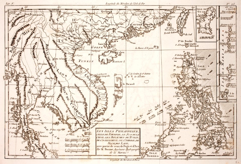
16 Free Images of 18th Century Maps Of The Philippines
prints from bonne atlas de toutes les parties at the peace palace library
baroque painting
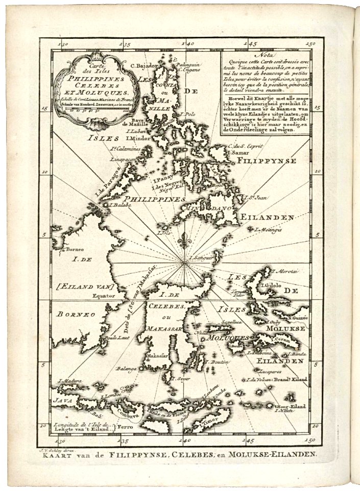
old maps of the philippines
old maps of malaysia
philippines in the 18th century
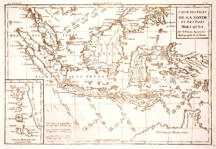
18th-century maps of indonesia
extracts from carta hydrographica y chorographica de las yslas filipinas
1734 in the philippines
history
historical
18th-century maps of indonesia
old maps of the philippines
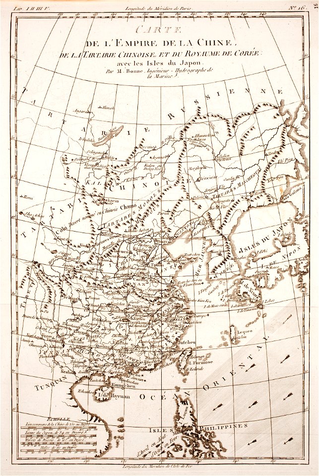
18th-century maps of japan
1780 in japan
18th-century maps of indonesia
maps of new guinea
maps of the mariana islands
guam in the 18th century
extracts from carta hydrographica y chorographica de las yslas filipinas
baroque painting
1774 maps of asia
baroque painting
1780s maps of the philippines
old maps of palau
carta hydrographica y chorographica de las yslas filipinas
baroque painting
18th-century maps of the philippines
baroque painting
extracts from carta hydrographica y chorographica de las yslas filipinas
baroque painting
extracts from carta hydrographica y chorographica de las yslas filipinas
baroque painting
maps by pieter mortier
indochina
18th-century maps of the malay archipelago
1790s maps of china
historical
history
historical
history
historical
history
1 - 16 of 16
/ 1