Log in
All resources
Create a design
6 Free Images of 18th Century Maps Of Guadeloupe
prints from bonne atlas de toutes les parties at the peace palace library
1758
1744
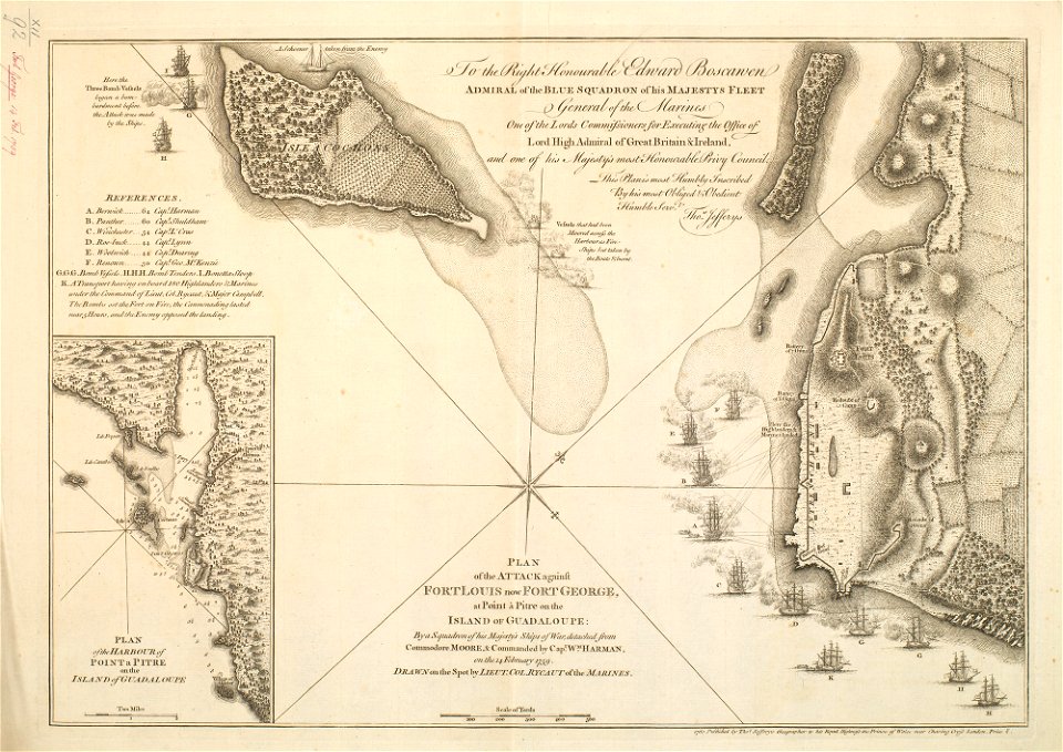
maps by thomas jefferys
1749
1760 maps
prints in the royal collection of the united kingdom
maps in the royal collection of the united kingdom
1743
invasion of guadeloupe (1759)
1758
1711
saint vincent and the grenadines
maps of isla margarita
1758
1756
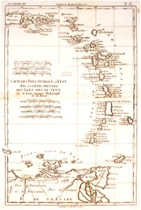
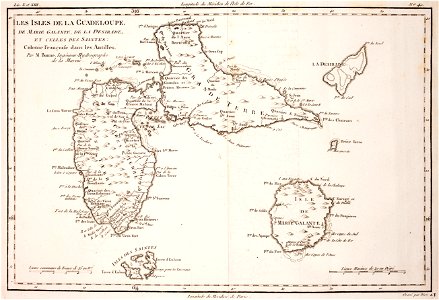
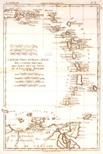
18th-century maps of guadeloupe
dien (printer)
historical
history
historical
history
1 - 6 of 6
/ 1