Log in
All resources
Create a design
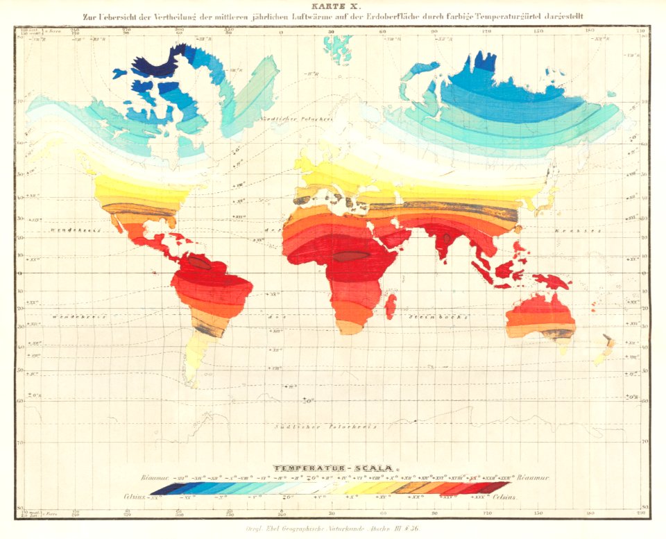
49 Free Images of 1800s Maps Of The World
1800s public domain
world map
vintage maps
earth
university of washington
adventure
poster
old map
bibliothèque nationale de france
vintage
earth
maps
australia
maps
earth
maps
australia
maps
vintage
maps
africa
maps
earth
maps
globe
maps
australia
maps
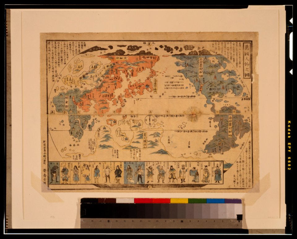
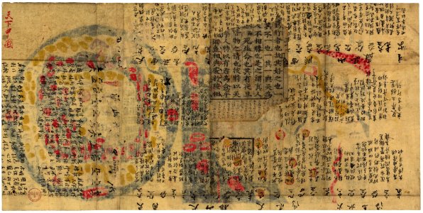
ukiyo-e by unknown artists
1800s maps of the world
ukiyo-e by unknown artists
1800s maps of the world
vintage
maps
vintage
maps
vintage
maps
ocean
maps
globe
maps
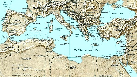
maps of the mediterranean sea
uss congress (1799)
1800s maps of the world
old maps of the world
maps by john cary
1801 maps
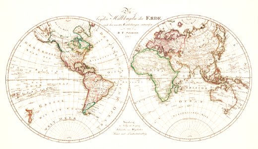
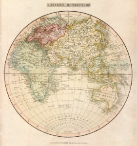
19th-century double hemisphere world maps
1800s maps of the world
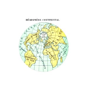
old maps of the northern hemisphere
1800s maps of the world
old hemisphere world maps (partner files)
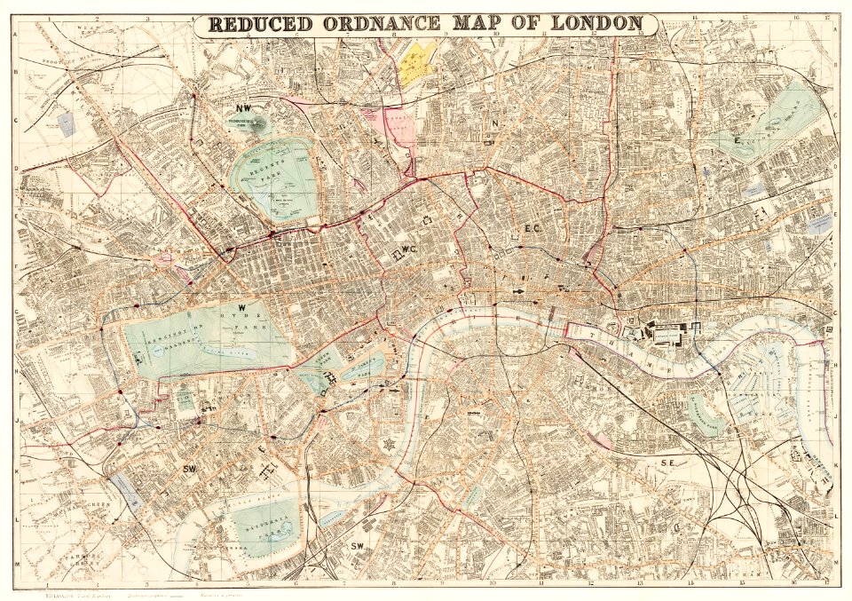
1800s maps of the world
map collection of leibniz-institut für länderkunde
1800s maps of the world
antoine-françois tardieu
jean-baptiste poirson
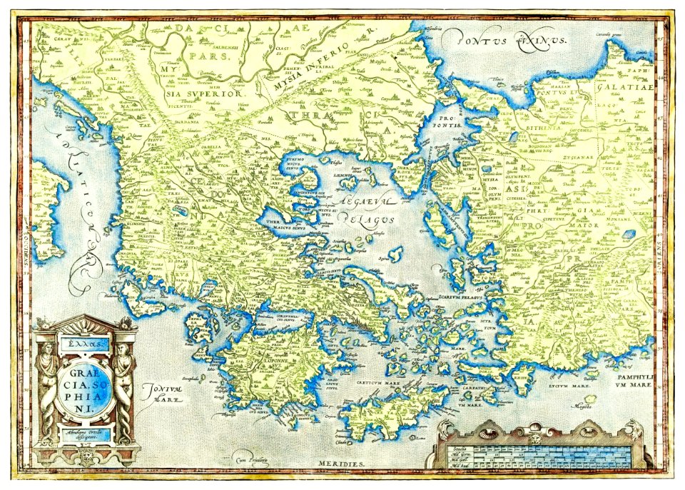
19th-century maps of greece
pierre françois tardieu
historical
history
historical
history
old maps of former departments of france
maps from gallica
old maps of former departments of france
maps from gallica
science
geology
maps by jodocus hondius
1590s maps of the world
antoine-françois tardieu
1800s maps of hispaniola
antoine-françois tardieu
1800s maps of hispaniola
map of italy by guillaume delisle (1700)
1700 maps of italy
antoine-françois tardieu
1800s maps of hispaniola
carte des côtes de malabar et de coromandel (1723)
philippe buache
carte de barbarie, nigritie, guinée par guillaume delisle (1707)
university of washington
carte de l'afrique françoise par guillaume delisle (1726)
philippe buache
cartouches by guillaume delisle
philippe buache
maps of the iberian peninsula by guillaume delisle
1700s maps of the iberian peninsula
carte de l'isle de ceylan by guillaume delisle (1722)
philippe buache
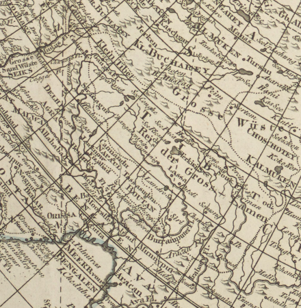
carte de moscovie by guillaume de l'isle (1706)
university of washington
map of europe by guillaume delisle (1700)
university of washington
earth
maps
world map
maps
adventure
maps
ocean
maps
world map
maps
earth
maps
1 - 49 of 49
/ 1


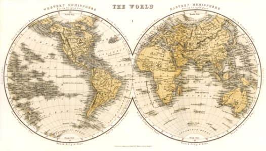

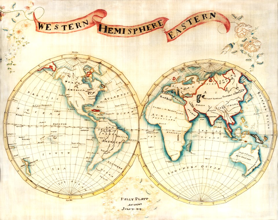
![Johnson's Western Hemisphere [and] Johnson's Eastern Hemisphere (1866) by Johnson and Ward.](https://cdn.creazilla.com/illustrations/1955988/johnson-s-western-hemisphere-and-johnson-s-eastern-hemisphere-1866-by-johnson-an-sm.jpeg)

![Map of France, Spain, and Portugal; Switzerland in cantons [inset]; Island of Corsica (1863) by Samuel Augustus Mitchell.](https://cdn.creazilla.com/illustrations/1953186/map-of-france-spain-and-portugal-switzerland-in-cantons-inset-island-of-corsica--sm.jpeg)


![Topographical Map of the Department of Montenotte / Written by the care of Mr. Count de Chabrol Prefect. Scale of 10,000 Meters [=Om. 050; 1: 200,000]; Drawn by Cecchi, geographer, between 1806 and 1812](https://cdn.creazilla.com/illustrations/10000886036/topographical-map-of-the-department-of-montenotte-written-by-the-care-of-mr-count-de-chabrol-prefect-scale-of-10-000-meters-om-050-1-200-000-drawn-by-cecchi-geographer-between-1806-and-1812-sm.jpg)
![Topographical Map of the Department of Montenotte / Written by the care of Mr. Count de Chabrol Prefect. Scale of 10,000 Meters [=Om. 050; 1: 200,000]; Drawn by Cecchi, geographer, between 1806 and 1812](https://cdn.creazilla.com/illustrations/10000562582/topographical-map-of-the-department-of-montenotte-written-by-the-care-of-mr-count-de-chabrol-prefect-scale-of-10000-meters-om-050-1-200000-drawn-by-cecchi-geographer-between-1806-and-1812-sm.webp)