Log in
All resources
Create a design
11 Free Images of 17th Century Maps Of The Near East
17th-century maps of the eastern mediterranean
maps by willem and johannes blaeu
ships on maps
mappe-monde geo-hydrographique (sanson and jaillot, 1674)
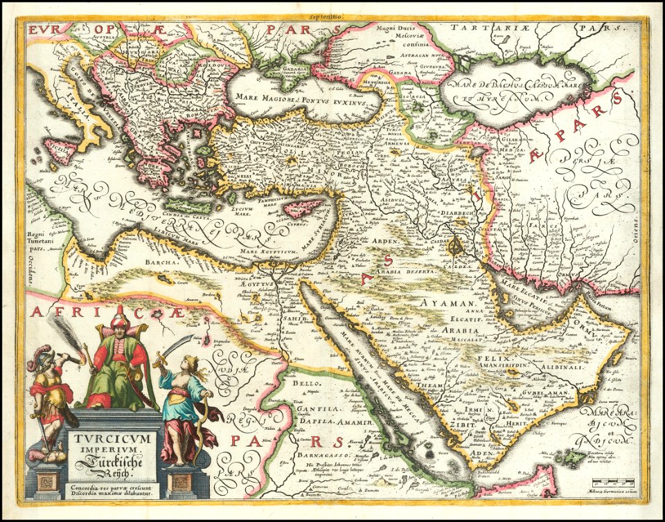
17th-century maps of the near east
maps by willem and johannes blaeu
17th-century maps of the black sea
maps by willem and johannes blaeu
17th-century maps of the eastern mediterranean
andré daulier deslandes
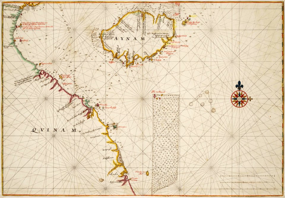
old maps of the south china sea
17th-century maps of vietnam
17th-century maps of the near east
description de l'universe
17th-century maps of the near east
baroque
old maps of the stations of the exodus
1650s maps of palestine
maps by daniel lizars
1820 maps of asia
mappe-monde geo-hydrographique (sanson and jaillot, 1674)
cartography of france
mappe-monde geo-hydrographique (sanson and jaillot, 1674)
aus hannovers vorzeit. ein beitrag zur deutschen cultur-geschichte ... mit 23 photolithographischen abbildungen, etc., von august jugler
old maps of hannover
1 - 11 of 11
/ 1