Log in
All resources
Create a design
11 Free Images of 17th Century Maps Of The Canary Islands
description de l'universe
alain manesson mallet
bibliothèque nationale de france
1683 in spain
17th-century maps of west africa
canary islands in the 17th century
17th-century maps of africa
maps from gallica
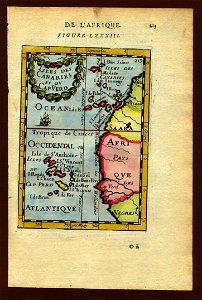
17th-century maps of the canary islands
description de l'universe
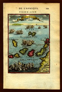
17th-century maps of the canary islands
description de l'universe
atlas maior, vol 10 (spain and africa) - joan blaeu, 1667 - bl 114.h(star).10
1667 maps
canary islands in the 17th century
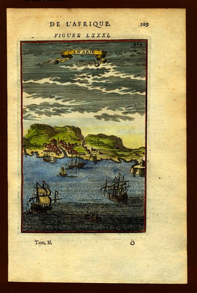
description de l'universe
canary islands in the 17th century
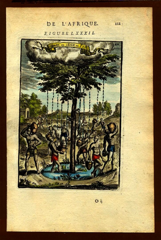
description de l'universe
description de l'universe
1680s maps of spain
17th-century maps of west africa
1650 maps of africa
17th-century maps of the canary islands
description de l'universe
17th-century maps of the mediterranean sea
portolan charts made in the 17th century
prints by jan luyken in the rijksmuseum amsterdam
maps in the rijksmuseum amsterdam
1 - 11 of 11
/ 1