Log in
All resources
Create a design
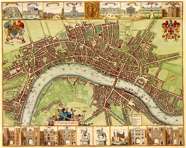
23 Free Images of 17th Century Maps Of London
bibliothèque nationale de france
maps by jodocus hondius
maps by john speed
1650s fashion
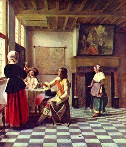
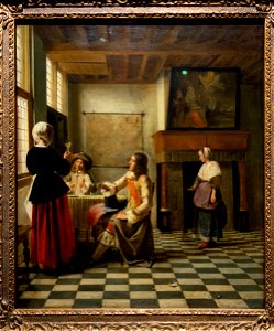
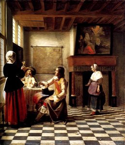
paintings of people in rooms
people with maps in art
checkered floors in paintings
people with beverages in art
paintings of wine drinking
paintings of males with beverages
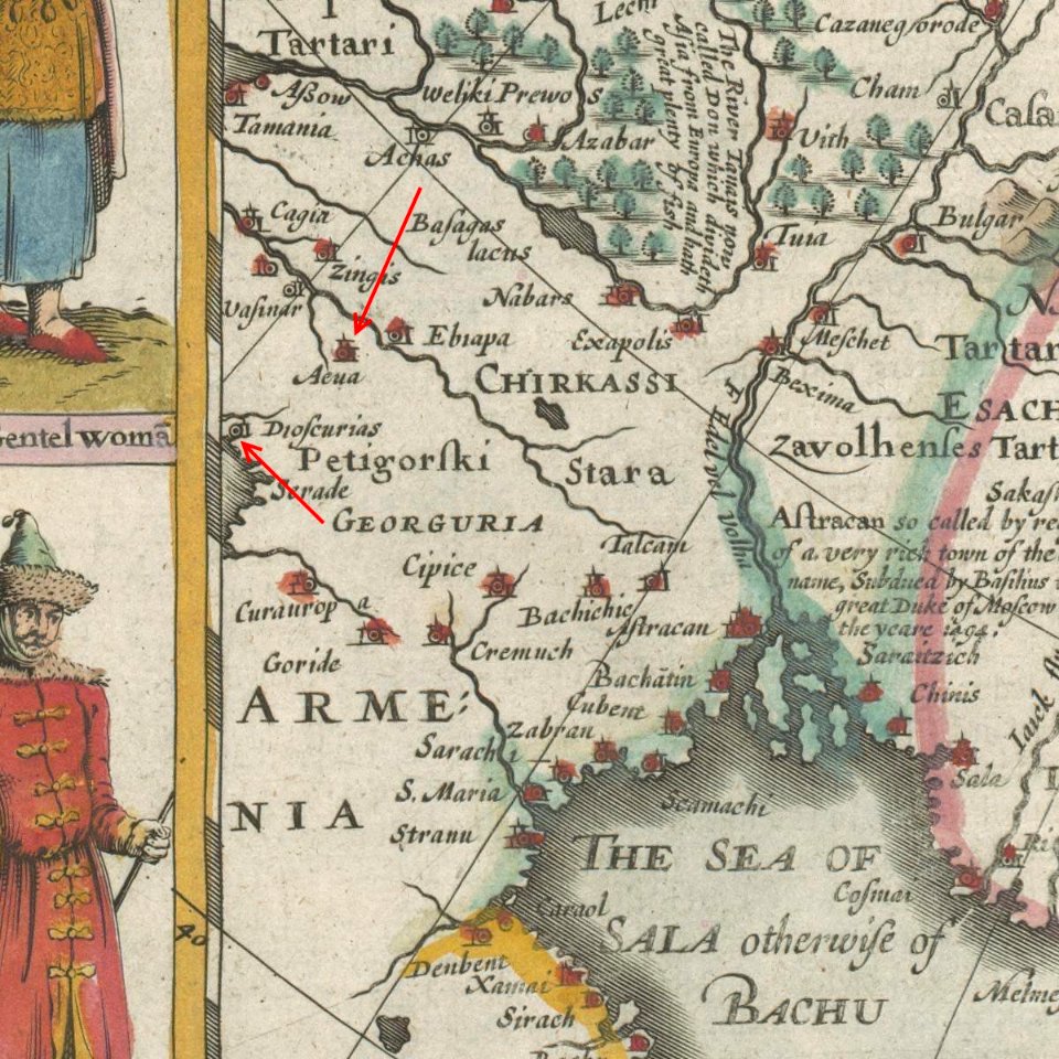
old maps of armenia
card
maps with cartouches
atlas van der hagen
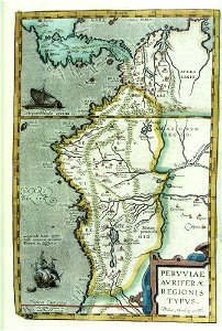
17th-century maps of south america
files from the bodleian libraries
pages with maps
swords
white wine
london
1650s fashion
london
1650s fashion
london
17th-century maps of sri lanka
jaffna kingdom
black and white drawings of buildings
hope theatre
17th-century maps of london
maps of old london (book)
17th-century maps of sri lanka
robert knox
turgot map of paris, norman b. leventhal map center
sheet 19 of the turgot map of paris
17th-century maps of london
baroque
maps from the earth and its inhabitants, vol. vii
russian conquest of siberia
17th-century maps of london
kennington, london
17th-century maps of cornwall
maps in the british museum
the comprehensive history of england (1876)
english-language maps showing history
the comprehensive history of england (1876)
english-language maps showing history
17th-century maps of dorset
maps by john speed
maps by jodocus hondius
maps by john speed
maps by jodocus hondius
maps by john speed
17th-century maps of pembrokeshire
old county maps of pembrokeshire
17th-century maps of pembrokeshire
maps by jodocus hondius ii
1 - 23 of 23
/ 1