Log in
All resources
Create a design
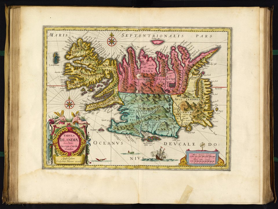
12 Free Images of 17th Century Maps Of Iceland
iceland map by joris carolus
old maps of the arctic
david rumsey historical map collection
joan blaeu
17th-century maps of iceland
copper engravings
the voyage of the vega round asia and europe
third voyage of willem barentsz
18th-century maps of greenland
old maps of the arctic
david rumsey historical map collection
17th-century maps of iceland
david rumsey historical map collection
17th-century maps of iceland
17th-century maps of iceland
iceland map by joris carolus
17th-century maps of iceland
atlas novus (blaeu)
17th-century maps of iceland
iceland map by joris carolus
maps by willem and johannes blaeu
17th-century maps of iceland
atlas maior, vol 1 (northern europe, norway, and denmark) - joan blaeu, 1667 - bl 114.h(star).1
17th-century maps of iceland
17th-century maps of iceland
iceland map by joris carolus
17th-century maps of iceland
typus orbis terrarum
1 - 12 of 12
/ 1