Log in
All resources
Create a design
21 Free Images of 17th Century Maps Of Hungary
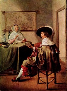
paintings of people in rooms
people with maps in art
17th-century oil on canvas paintings in hungary
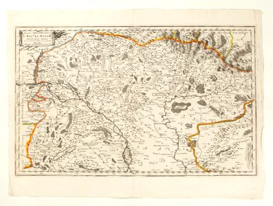
old maps of the danube
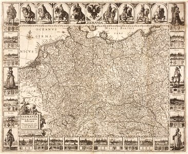
atlas novus (blaeu)
budapest
dutch paintings in the museum of fine arts
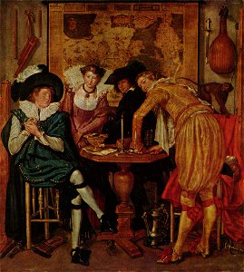
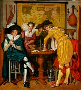
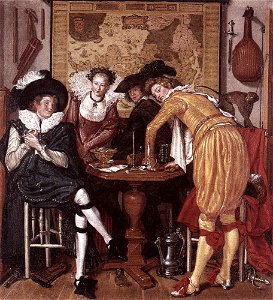
by willem buytewech
elegant company
maps in skokloster castle
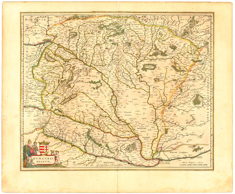
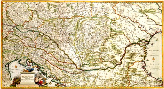
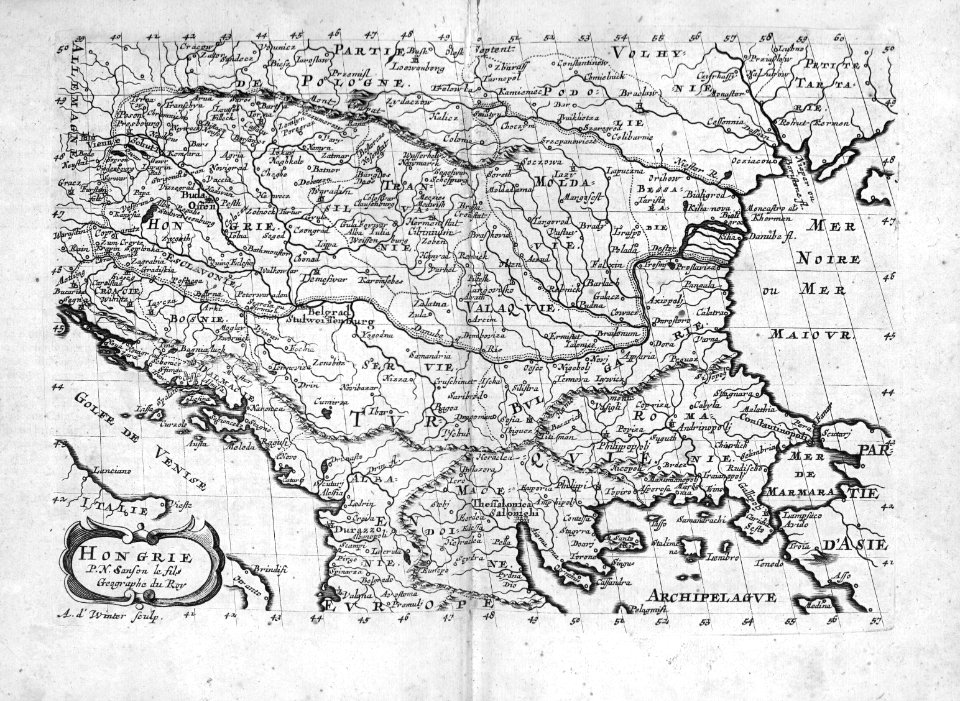
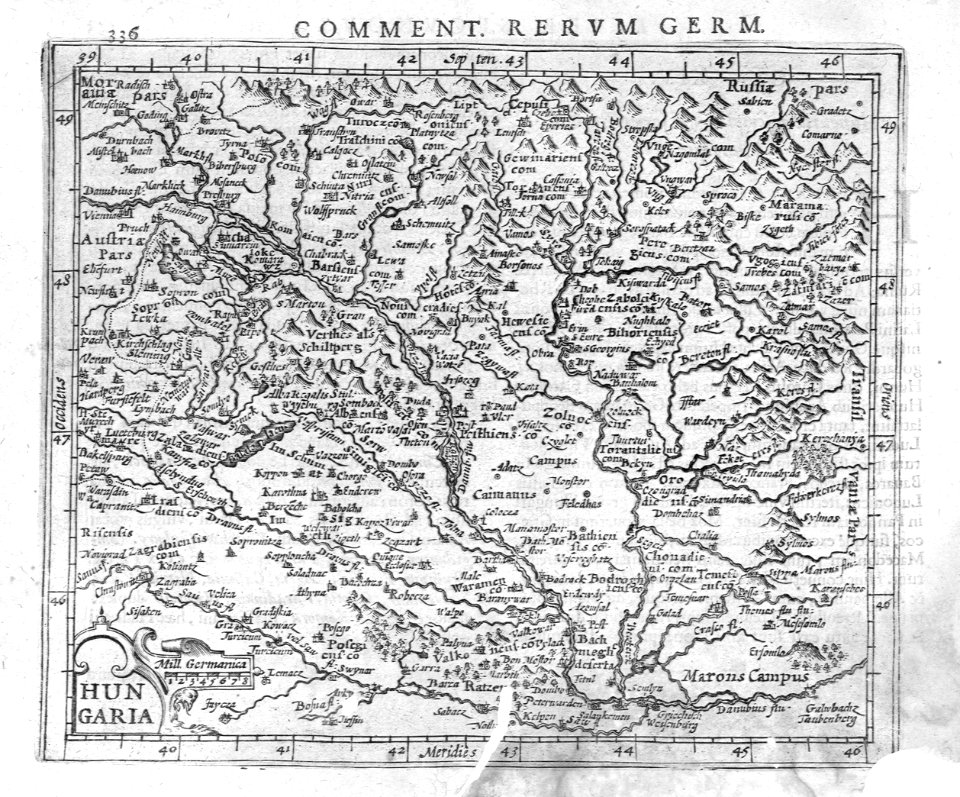
17th-century maps of hungary
maps in skokloster castle
maps in skokloster castle
maps by nicolas sanson
17th-century maps of hungary
old maps of budapest
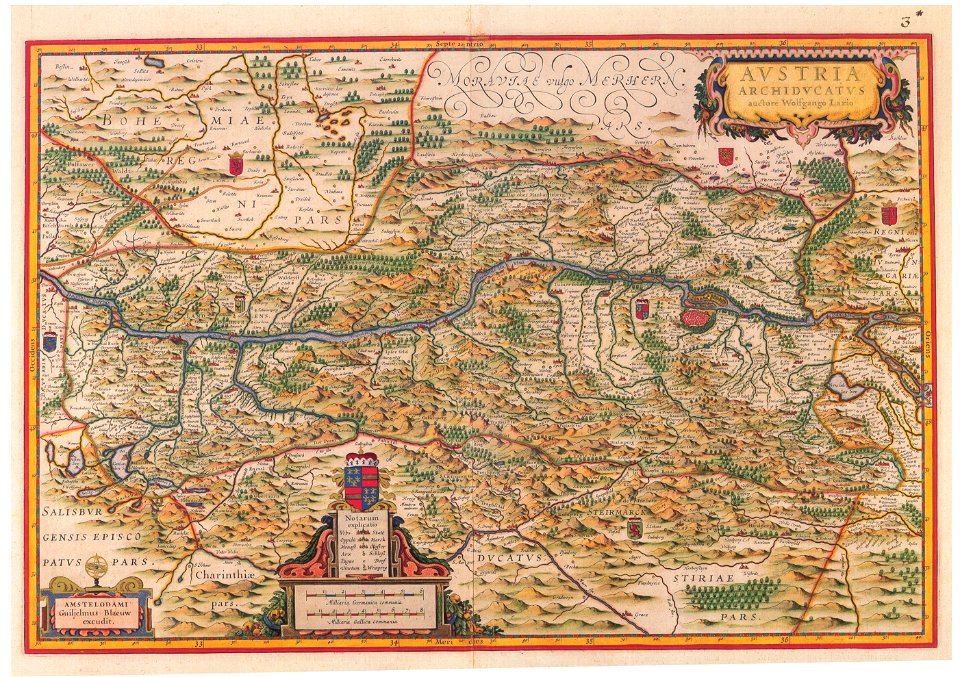
old maps of upper austria
old maps of styria
derivatives of the coats of arms of the árpád family
historical national coats of arms of hungary
coat of arms of germany
1642 maps of croatia
men and women in art
lutenists in art
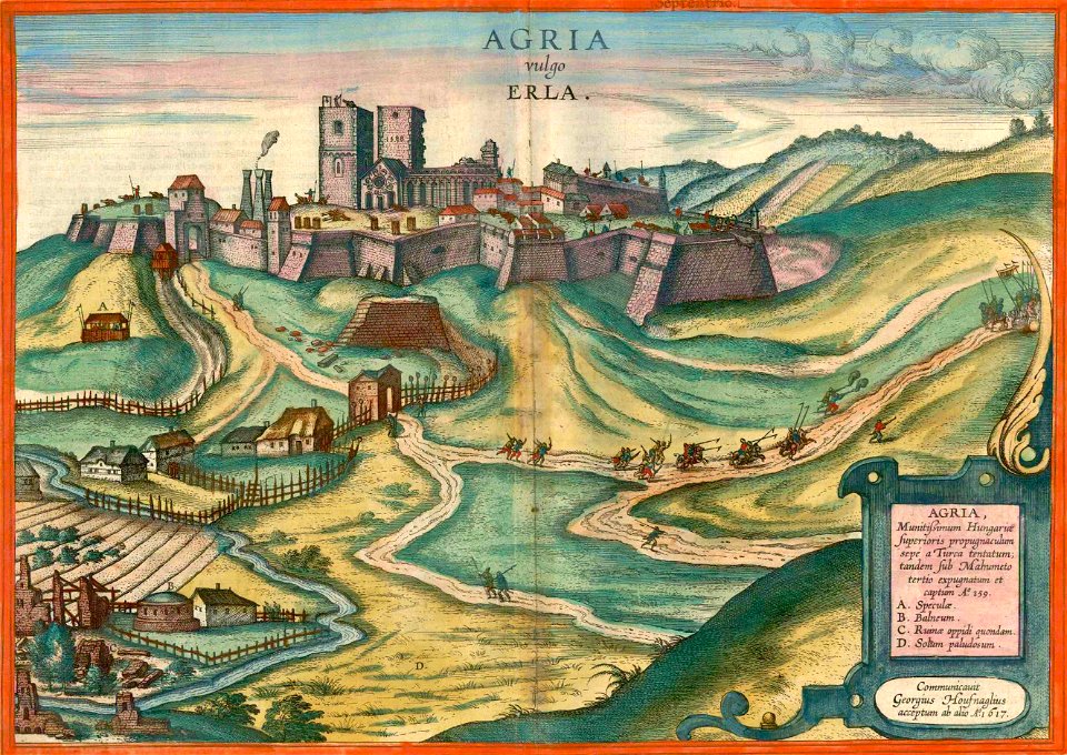
maps and topographical views by joris hoefnagel
braun & hogenberg
maps with cartouches
atlas van der hagen
paintings of monkeys
budapest
budapest
male
paintings of jugs
budapest
old maps of the danube in budapest
gerard jollain
17th-century maps of hungary
old maps of hont county
maps by willem and johannes blaeu
17th-century maps of europe
17th-century maps of bohemia
1645 maps of austria
17th-century maps of the black sea
maps by willem and johannes blaeu
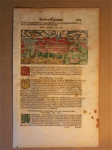
buda in the 17th century
baroque
atlas maior, vol 2 (sweden, russia, poland, eastern europe, and greece) - joan blaeu, 1667 - bl 114.h(star).2
17th-century maps of hungary
cartography
maps
cartography
maps
1 - 21 of 21
/ 1