Log in
All resources
Create a design
16 Free Images of 1780s Maps Of The Caribbean
prints from bonne atlas de toutes les parties at the peace palace library
bibliothèque nationale de france
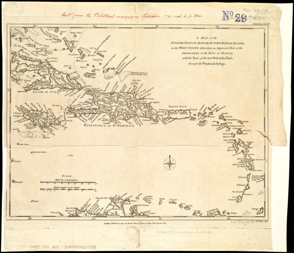
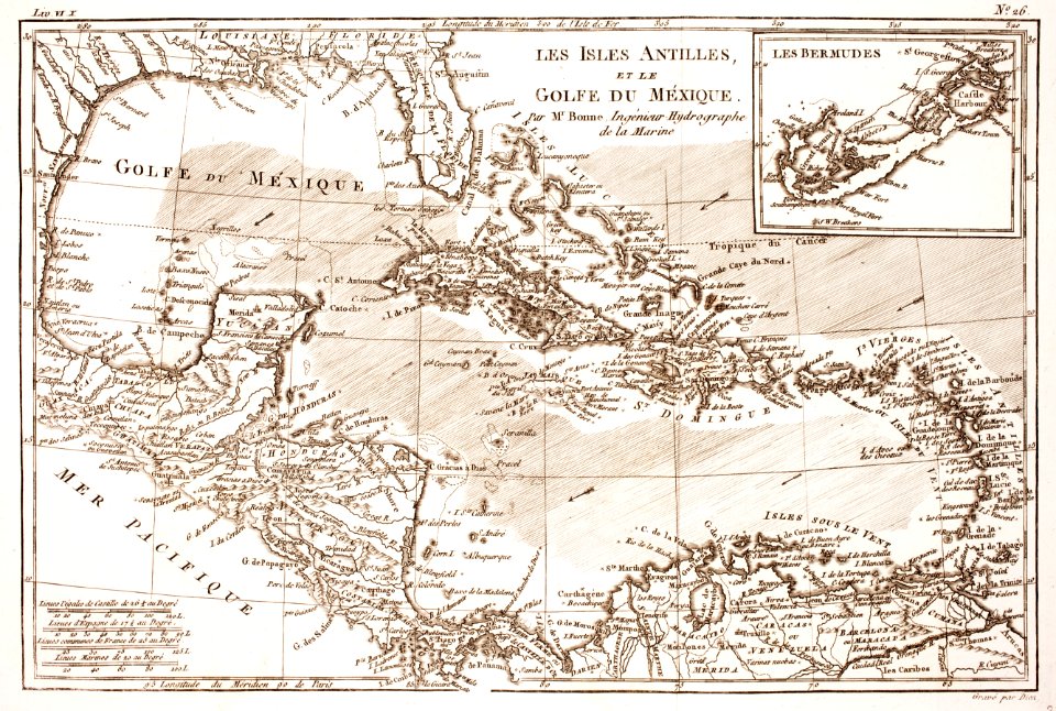
1780 in the caribbean
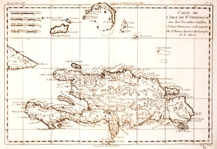
18th-century maps of hispaniola
maps by rigobert bonne
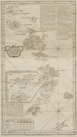
maps by tomas lopez
history
historical
cc-pd-mark
pd-old-100-expired
18th-century maps of hispaniola
1780s maps of the caribbean
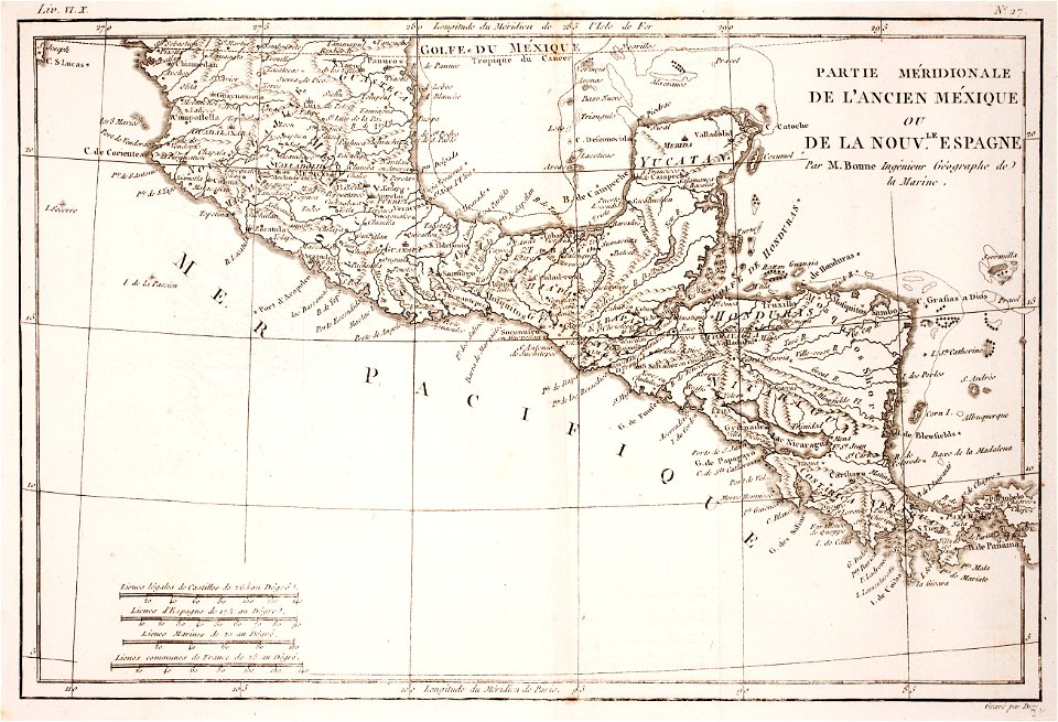
18th-century maps of nicaragua
1780 in central america
18th-century maps of hispaniola
1780 in the caribbean
1780 in the caribbean
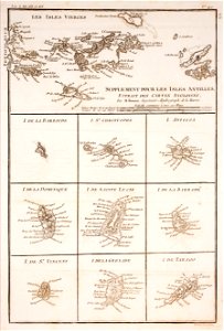
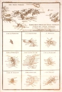
virgin islands
1780s maps of the caribbean
maps in the british museum
18th-century maps of barbados
1780 maps of the caribbean
1780s maps of the caribbean
maps by tomas lopez
1780s maps of the caribbean
maps by tomas lopez
1780 maps of the caribbean
maps by juan lopez
maps in the library of congress
1780s maps of the caribbean
old maps of the bahamas
lucayas
1780s maps of the caribbean
maps by juan lopez
historical
history
historical
history
historical
history
historical
history
1 - 16 of 16
/ 1