Log in
All resources
Create a design
22 Free Images of 16th Century Maps Of The Netherlands
maps of waterways in the netherlands
collections of stadsarchief delft
stadsarchief delft
coenraet oelensz.
maps in the rijksmuseum amsterdam
maps by willem and johannes blaeu
maps by christian sgrothen
frans hogenberg
16th-century maps of the arctic
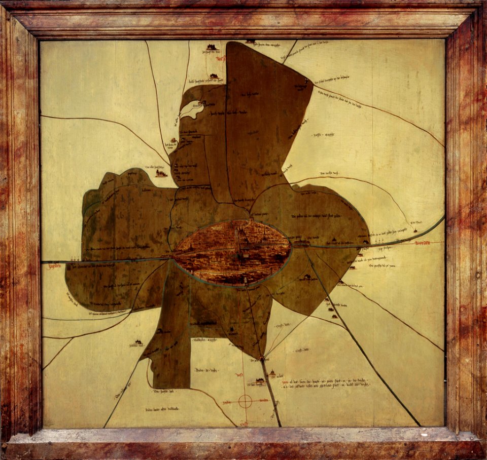
maps of erkelenz
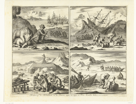
third voyage of willem barentsz
history of dutch sea fisheries
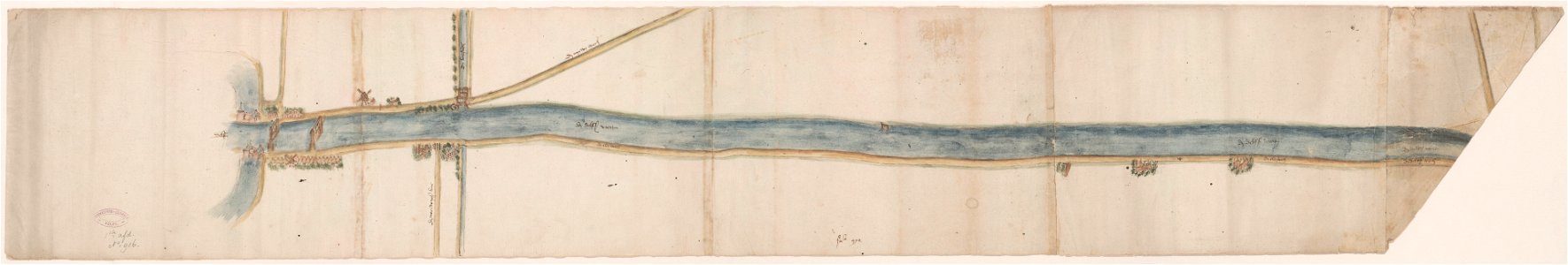
maps of waterways in the netherlands
collections of stadsarchief delft
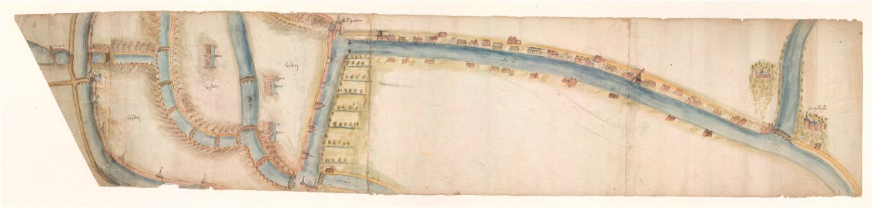
maps of waterways in the netherlands
leiden
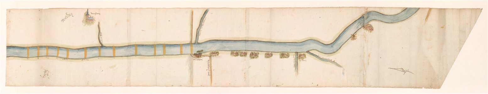
maps of waterways in the netherlands
voorschoten
leidschendam
voorburg
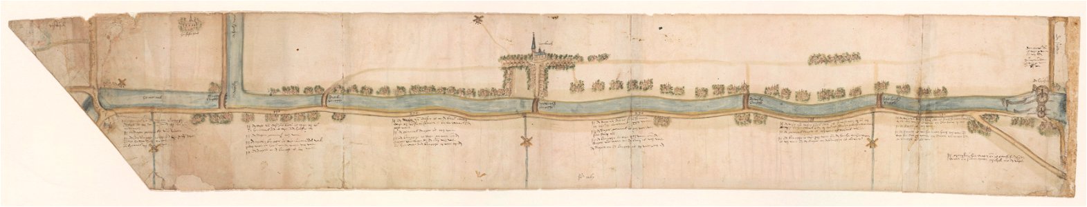
maps of waterways in the netherlands
collections of stadsarchief delft
16th-century oil on panel paintings in the netherlands
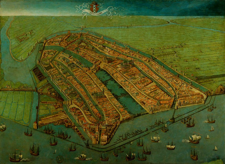
paintings of amsterdam
maps by willem and johannes blaeu
circumvallation
topographical paintings in the centraal museum
16th-century paintings in the centraal museum
maps by christian sgrothen
maps of erkelenz
maps by christian sgrothen
maps of erkelenz
16th-century maps of the netherlands
16th-century maps of belgium
history of kampen, netherlands
engravings by frans hogenberg
16th-century maps of amsterdam
lodovico guicciardini
16th-century maps of amsterdam
maps by jacob van deventer
maps of brielle by braun & hogenberg
brielle in the 16th century
old maps of katwijk, south holland
brittenburg
prints by frans hogenberg in the rijksmuseum amsterdam
maps in the rijksmuseum amsterdam
prints by frans hogenberg in the rijksmuseum amsterdam
maps in the rijksmuseum amsterdam
maps in the rijksmuseum amsterdam
maps by willem and johannes blaeu
maps in the rijksmuseum amsterdam
maps by willem and johannes blaeu
overwintering on nova zembla by willem barentsz, 1596-1597
16th-century maps of the arctic
1 - 22 of 22
/ 1