Log in
All resources
Create a design
14 Free Images of 16th Century Maps Of The Caribbean
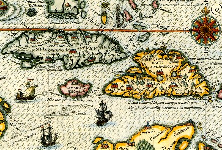
16th-century maps of hispaniola
16th-century maps of cuba
theodor de bry
16th-century maps of the spanish empire
16th-century maps of puerto rico
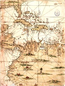
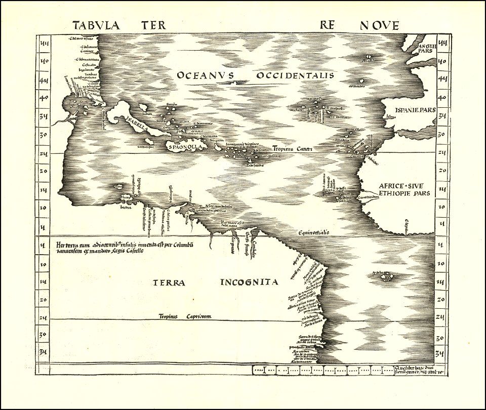
1500s maps of the caribbean
old maps of colombia
old maps of guatemala
old maps of the history of venezuela
caribbean sea in art
16th-century maps of hispaniola
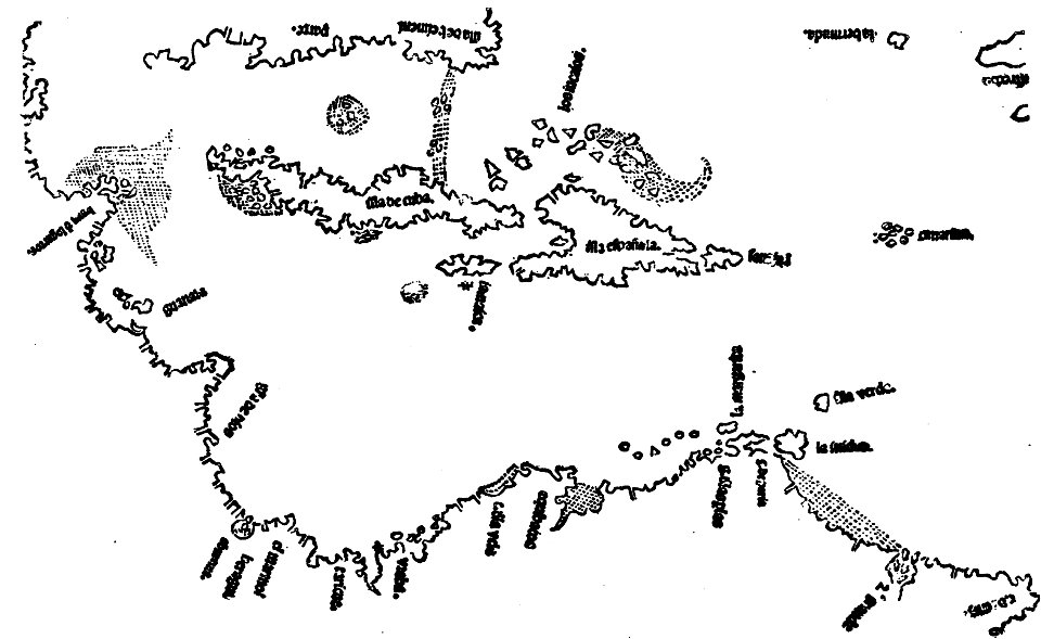
waldseemüller map
old maps of colombia
theodor de bry
old maps of guatemala
old maps of colombia
charts and maps of the royal museums greenwich
1572 maps
16th-century maps of the caribbean
theodor de bry
images from the john carter brown library
1500s maps of the caribbean
16th-century maps of the americas
maps by martin waldseemüller
jacques le moyne de morgues
1591
1560s maps of north america
paolo forlani
americae 1562 by diego gutiérrez and hieronymus cock
renaissance
history of antwerp
renaissance
atlas sive cosmographicae (gerardus mercator, 1607)
maps of the caribbean by mercator-hondius
1696 maps of the caribbean
1690s maps of mexico
1779 maps of the united states
1770s maps of the caribbean
1 - 14 of 14
/ 1