Log in
All resources
Create a design
15 Free Images of 16th Century Maps Of Scandinavia
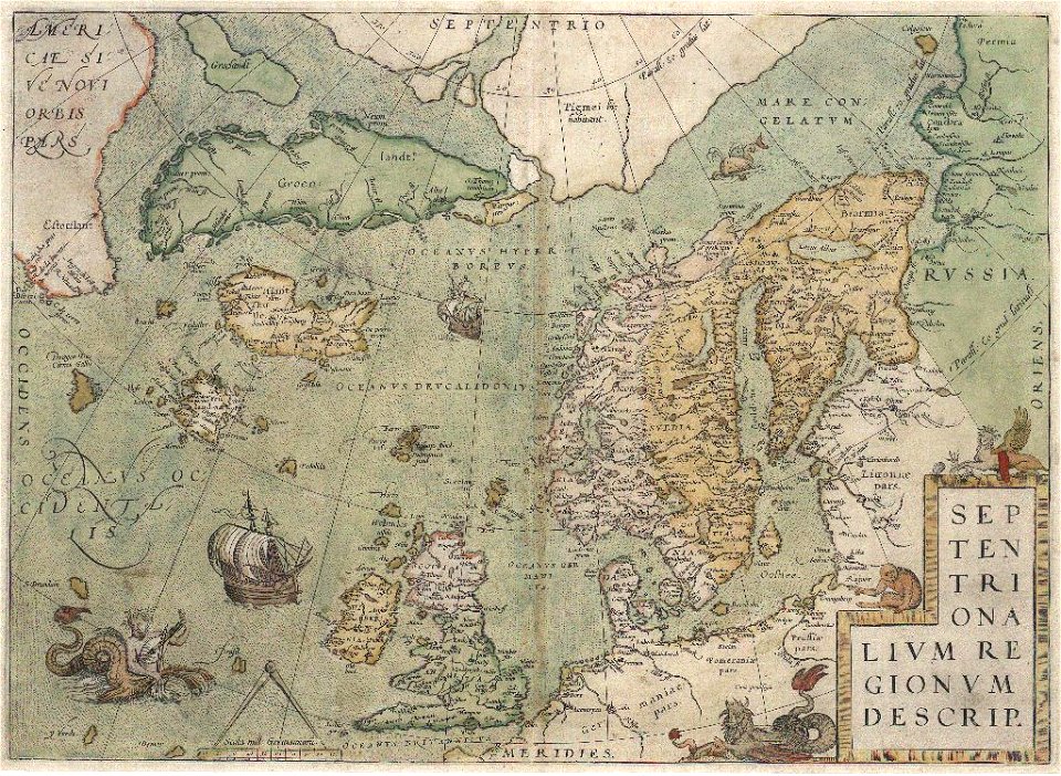
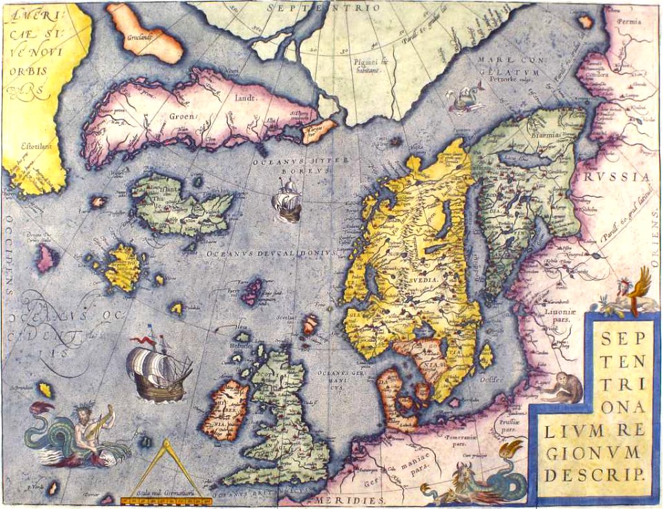
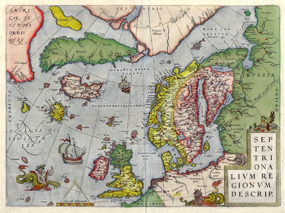
old maps of scandinavia
old maps of the white sea
maps of the barents sea
dutch-language maps
baptista van doetecum
northern sea route
latin-language maps
1590s maps of finland
old maps of the arctic
1590s maps of norway
third voyage of willem barentsz
16th-century maps of the arctic
third voyage of willem barentsz
16th-century maps of the arctic
third voyage of willem barentsz
history of dutch sea fisheries
third voyage of willem barentsz
history of dutch sea fisheries
third voyage of willem barentsz
16th-century maps of the arctic
the voyage of the vega round asia and europe
third voyage of willem barentsz
itinerario (jan huygen van linschoten)
latin-language maps
overwintering on nova zembla by willem barentsz, 1596-1597
maps in the rijksmuseum amsterdam
overwintering on nova zembla by willem barentsz, 1596-1597
maps in the rijksmuseum amsterdam
old maps of the british isles
old maps of scandinavia
old maps of scandinavia
old maps of iceland
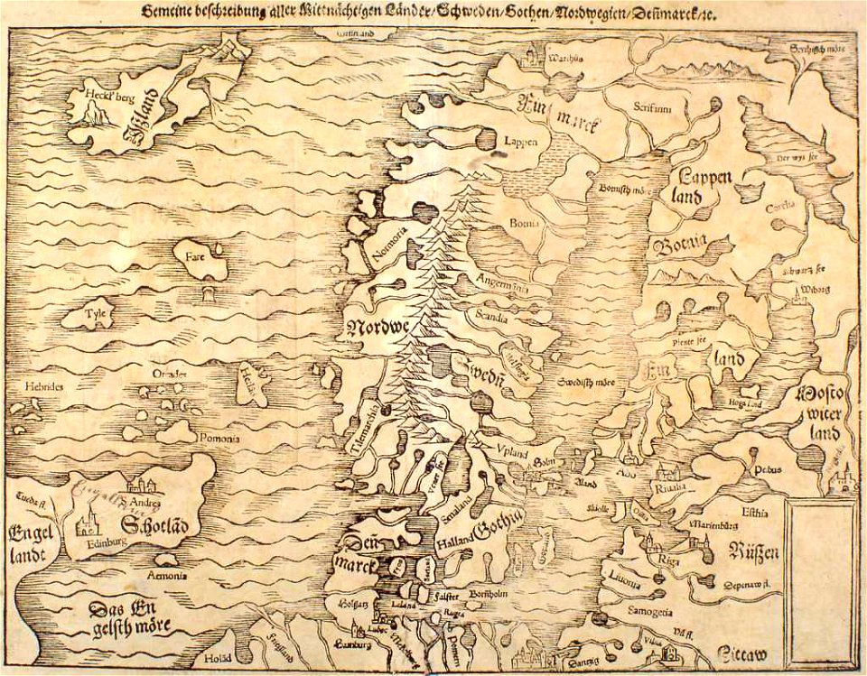
illustrations of cosmographia (münster)
extra-ptolemaic maps of scandinavia
old maps of greenland
old maps of iceland
itinerario (jan huygen van linschoten)
latin-language maps
itinerario (jan huygen van linschoten)
latin-language maps
1 - 15 of 15
/ 1