Log in
All resources
Create a design
16 Free Images of 16th Century Maps Of Hungary
historical images of danube
old maps of the danube
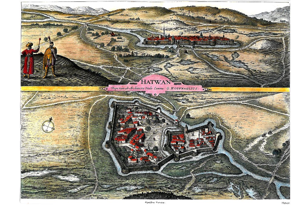
maps and topographical views by joris hoefnagel
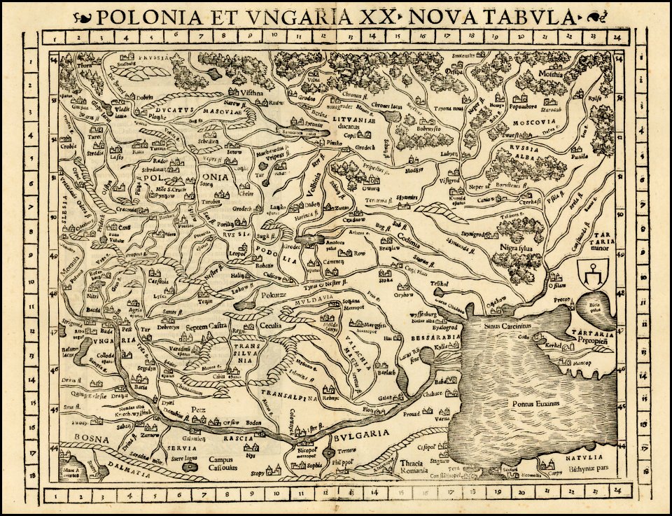
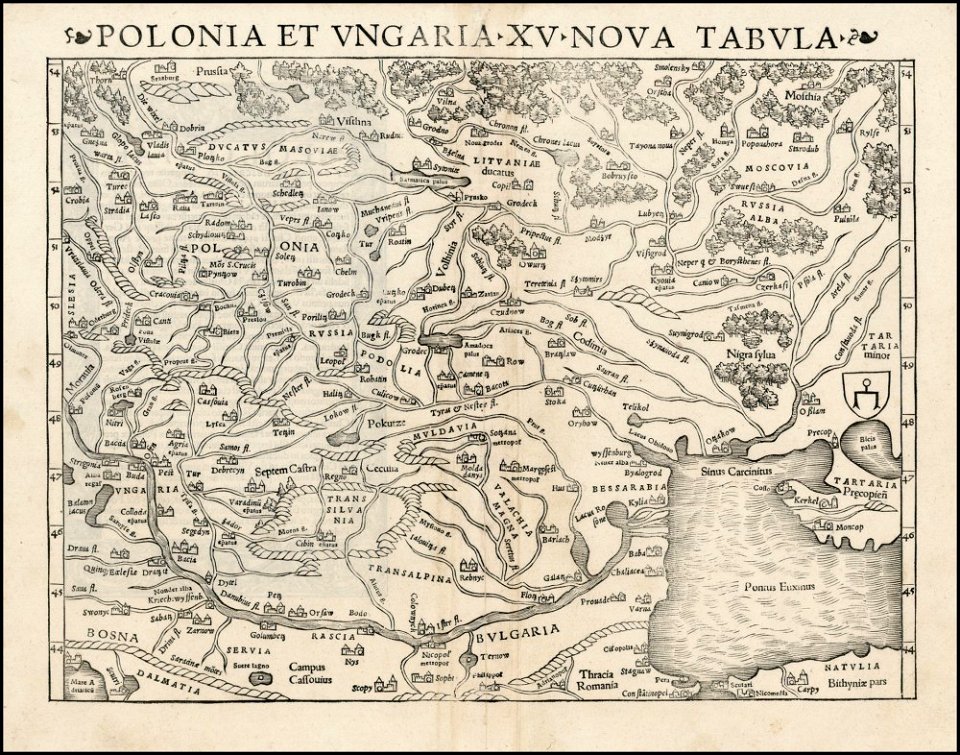
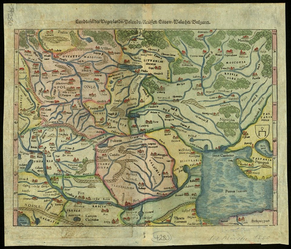
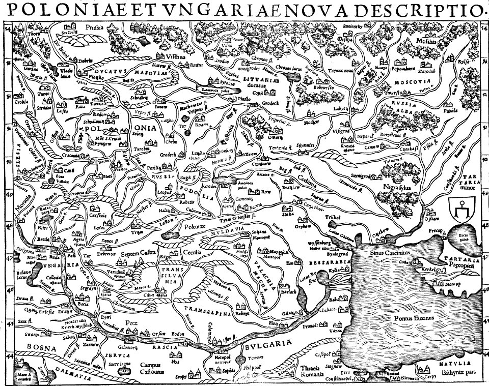
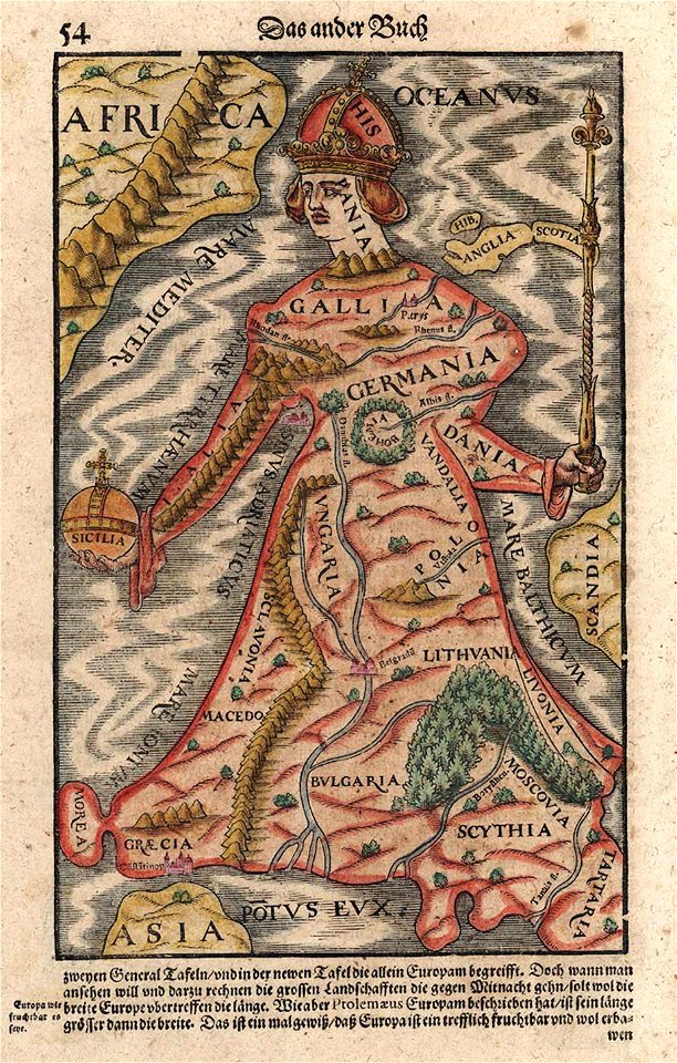
maps by sebastian münster
illustrations of cosmographia (münster)
maps by wolfgang lazius
old maps of slovakia
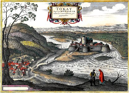
hungary in the 16th century
siege warfare during the renaissance
braun & hogenberg
old maps of the danube
1552 maps
old maps of the danube
old maps of bohemia
maps and topographical views by joris hoefnagel
hungary in the 16th century
maps by sebastian münster
old maps of crimea
maps and topographical views by joris hoefnagel
hungary
images from the bulgarian archives state agency
maps by sebastian münster
illustrations of cosmographia (münster)
old maps of poland
maps and topographical views by joris hoefnagel
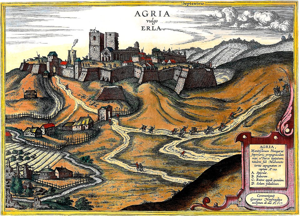
eger
maps by sebastian münster
old maps of slovakia
rohatyn
halych
history of hungary (1526–1700)
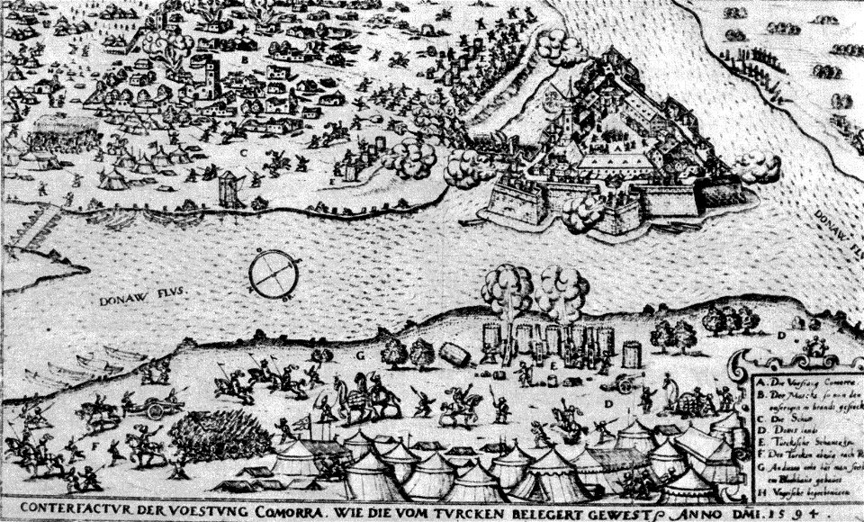
historical images of komárno
cartography
bohemia
maps of visegrád by braun & hogenberg
johann siebmacher
maps of budapest by braun & hogenberg
16th-century fortress plans
maps of utrecht (city) city walls
old maps of utrecht (city)
maps of utrecht (city) city walls
old maps of utrecht (city)
1 - 16 of 16
/ 1