Log in
All resources
Create a design
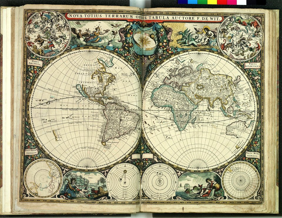
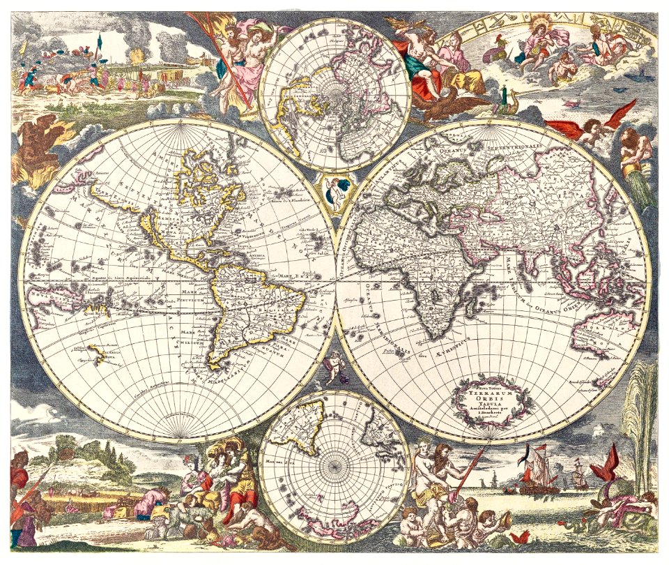
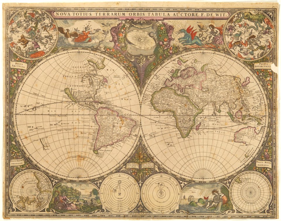
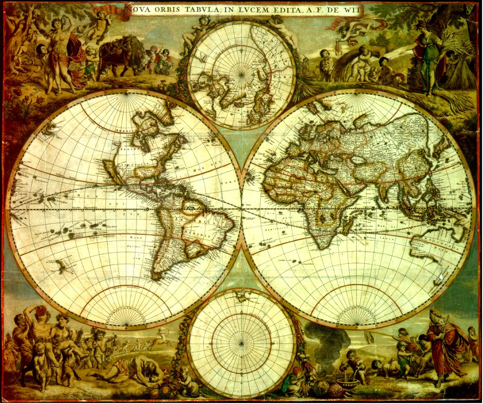
18 Free Images of 1660s Maps Of The World
island of california on world maps
17th-century double hemisphere world maps
maps by frederick de wit
joan blaeu
maps by willem and johannes blaeu
global maps centered cape verde islands meridian
maps of alsace by guillaume sanson
1660s maps of baden-württemberg
1660s maps of alsace
bibliothèque nationale de france
maps by frederick de wit
copper engraving
maps by frederick de wit
1660s maps of the world
globe
maps
maps in skokloster castle
maps by frederick de wit
maps by frederick de wit
1662
globe
maps
maps by willem and johannes blaeu
atlas van loon
1640s maps of the world
1660s maps of the world
maps by willem and johannes blaeu
1660s maps of the world
maps by willem and johannes blaeu
novus atlas blaeu
1660s maps of the world
atlas maior
maps in the library of congress
1664 maps
atlas maior, vol 1 (northern europe, norway, and denmark) - joan blaeu, 1667 - bl 114.h(star).1
17th-century double hemisphere world maps
maps in the rijksmuseum amsterdam
maps by frederick de wit
maps of alsace by guillaume sanson
1660s maps of baden-württemberg
maps of alsace by guillaume sanson
1660s maps of alsace
maps of alsace by guillaume sanson
1660s maps of baden-württemberg
prints by cornelis danckerts (i) in the rijksmuseum amsterdam
prints by dancker danckerts in the rijksmuseum amsterdam
1 - 18 of 18
/ 1


![[Nova et accuratissima totius terrarum orbis tabula]., Joan Blaeu, 1664](https://cdn.creazilla.com/illustrations/10001308540/nova-et-accuratissima-totius-terrarum-orbis-tabula-joan-blaeu-1664-md.jpg)


