Log in
All resources
Create a design
13 Free Images of 1610s Maps Of The Netherlands
maps by pieter van der keere
bibliothèque nationale de france
maps with cartouches
ships on maps
1610s maps of belgium
old maps of friesland
prints by claes jansz. visscher (ii) in the rijksmuseum amsterdam
maps of the dutch republic
nicolaes van geelkercken
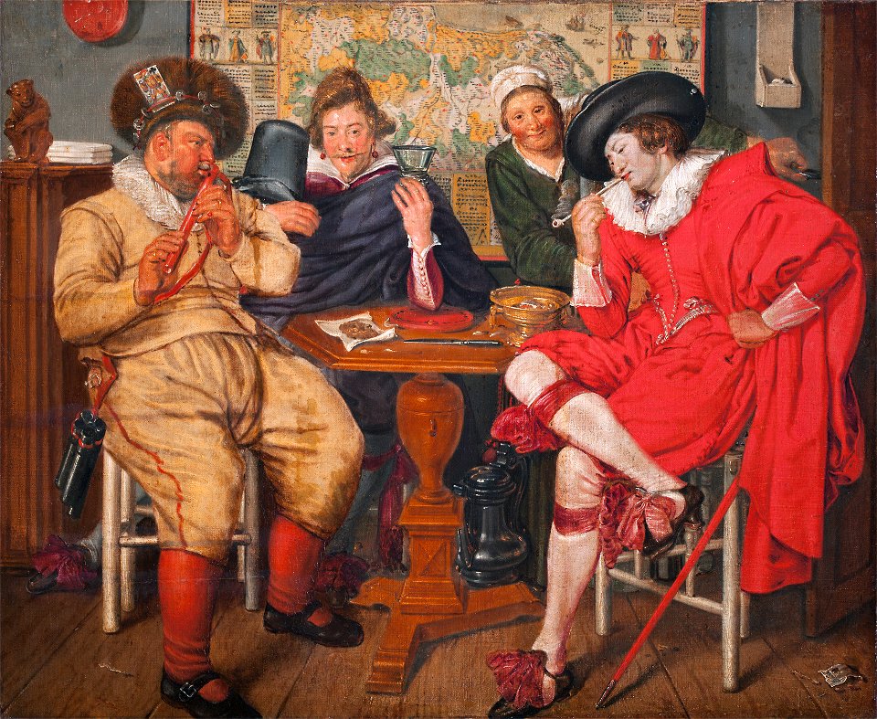
oil paintings of people
smoking men in art
maps by pieter van der keere
1610s maps of belgium
1610s maps of the netherlands
maps with cartouches
maps by pieter van der keere
old maps of utrecht
1610s maps of the netherlands
old maps of friesland
maps by pieter van der keere
old maps of zutphen
maps by pieter van der keere
old maps of friesland
maps by pieter van der keere
old maps of gelderland
prints by claes jansz. visscher (ii) in the rijksmuseum amsterdam
maps in the rijksmuseum amsterdam
etchings in the rijksmuseum amsterdam
1610s maps of belgium
dutch 17th-century prints in the rijksmuseum amsterdam
war of the jülich-kleve succession
prints by claes jansz. visscher (ii) in the rijksmuseum amsterdam
1 - 13 of 13
/ 1