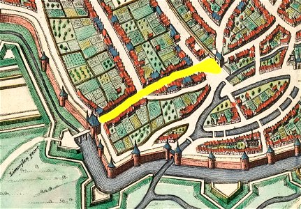
Maastricht, omgeving Tongersestraat, detail kaart Joan Blaeu, 1649 (Atlas van Loon, 1652)
Maastricht, the netherlands. Detail of a map of maastricht by joan blaeu, 1649, showing the south-western part of the city around tongersestraat (marked in yellow).