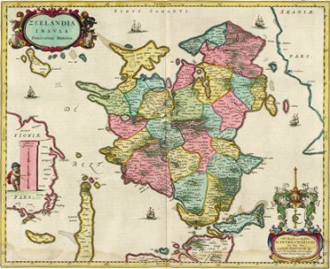
Zeelandia Insula with subdivision by Blaeu 1665, Joan Blaeu, 1 January 1665
Historical map of zealand, principal island of denmark, with subdivision into hundreds (herred, formerly herrit). Date: 1 January 1665.
Loading...