Log in
All resources
Create a design
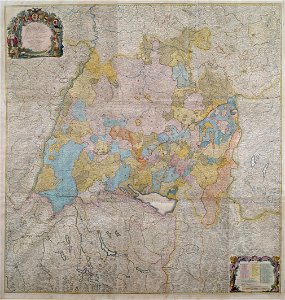
Schwäbischer Kreis Karte um 1750
Download
Edit image
Published by:
Creazilla
Author:
Johann Lambert Kollefel, Johann Andreas Pfeffel
Source:
commons.wikimedia.org
Loading...
1 download
Print it
Copy image
Loading...
1750s maps of baden-württemberg
swabian circle
MORE LIKE THIS