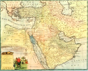
Safavid Persian Empire, Emanuel Bowen, between 1744 and 1752
This historical regional map of the middle east illustrates asien territories of the ottoman empire as well as persian safavid empire. Created by a british engraver named emanuel bowen between 1744 and 1752. Also showing the persian gulf in the map. Date: between 1744 and 1752.