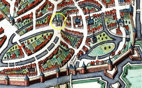
Maastricht-Jekerkwartier, detail kaart Atlas Maior,1652, Joan Blaeu, 1649
Maastricht, the netherlands. Detail of a map of maastricht from the atlas van blaeu (1652), showing the jekerkwartier with several city gates. In the yellow circle is looierspoort which was part of the first medieval city wall. Date: 1649.