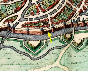
Maastricht, omgeving Nieuwenhofpoortje, detail kaart Joan Blaeu, 1649 (Atlas van Loon, 1652)
Maastricht, the netherlands. Detail of a map of maastricht by joan blaeu, 1649, showing the southern part of the city around nieuwenhofpoortje, a small gate (poterne) in the second medieval wall.