Log in
All resources
Create a design
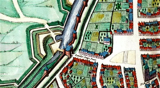
Maastricht, Lindenkruispoort, 1652, Joan Blaeu, 1649
Maastricht, the netherlands. Detail of a map of maastricht from the atlas van blaeu (1652) showing the northwestern area around lindenkruispoort. Date: 1649.
Download
Edit image
Published by:
Creazilla
Author:
Joan Blaeu
Source:
commons.wikimedia.org
Loading...
0 downloads
Print it
Copy image
Loading...
map of maastricht by willem and johannes blaeu (1649)
statenkwartier (maastricht)
lindenkruispoort (maastricht)
joan blaeu
MORE LIKE THIS