Log in
All resources
Create a design
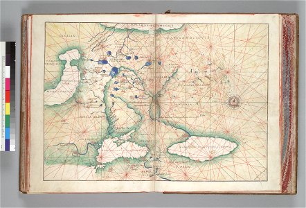
Map of Russia. HM 10. Battista Agnese, PORTOLAN ATLAS (Italy ca. 1550)
Download
Edit image
Published by:
Creazilla
Author:
Battista Agnese (1500–1564)
Source:
commons.wikimedia.org
Loading...
0 downloads
Print it
Copy image
Loading...
battista agnese
16th-century maps of the black sea
old maps of the caspian sea
16th-century maps of the caucasus
old maps showing the whole near east
1550s maps of armenia
1550s maps of russia
1550s maps of iran
maps of the tsardom of russia
1550s maps of georgia
1550s maps of azerbaijan
1550s maps of turkey
1550s maps of ukraine
16th-century maps of belarus
MORE LIKE THIS