Log in
All resources
Create a design
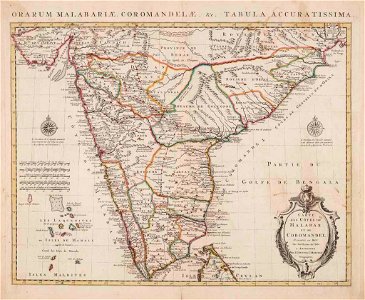
Kaart van de kust van Malabar en Cormandel (India) - AM - 71694
Download
Edit image
Published by:
Creazilla
Author:
Pictura
Source:
commons.wikimedia.org
Loading...
0 downloads
Print it
Copy image
Loading...
18th-century maps of india
old maps of the malabar coast
covens en mortier
works by guillaume delisle
malabar district
MORE LIKE THIS