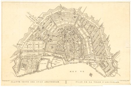
Description flat land der stad amsterdam. Plan de la ville d' amsterdam
map of amsterdam. Design by e. Maaskamp. Engraved by c. H. Koning. 1st edition. Scale approx. 1:16,250. The map was included in: tableau statistique historique d'amsterdam (. . . ), which maaskamp published. These appeared between 1812 and 1827. A 2nd edition of the map was included in a new guide through amsterdam (. . . ), published in 1829, also published by maaskamp (see: saa, library: 15030/85401). Orientation: south-southwest above. Document type: card
manufacturer: koning, c. H. Maaskamp, e. (evert; 1769-1834)
collection: amsterdam city archives collection: maps of the whole of amsterdam
dating: 1812 to 1827
inventories: http://archief. Amsterdam/archief/10035/1430
image file: kava00124000001
+
-
70%
leaflet. Date: 1812 t/m 1827.
Loading...