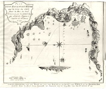
Map of a bay and island in Chile, Jakob van der Schley, circa 1750
Map of a bay and an island in chile. Plan d'une baye et d'un havre sur la côte du chili dans la mer du sud. Grond-tekening van een baay en van een haven op de kust van chili, in de zuider-zee. Date: circa 1750. Dimensions: height: 23 cm (9 in); width: 19.5 cm (7.6 in). Medium: engraving on paper. Collection: Koninklijke Bibliotheek. AMH-8107-KB Map of a bay and island in Chile