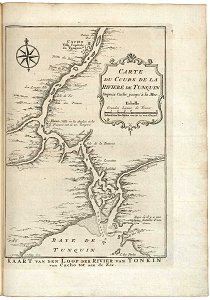
Map of the course of the river Tonquin, Jakob van der Schley, circa 1753
Map of the course of the river tonquin. Kaart van den loop der rivier van tonkin van cacho tot aan de zee. Carte du cours de la riviere de tunquin depuis cacho jusqu'à la mer. Date: circa 1753. Dimensions: height: 13 cm (5.1 in); width: 18.5 cm (7.2 in). Medium: engraving on paper. Collection: Koninklijke Bibliotheek. AMH-8004-KB Map of the course of the river Tonquin