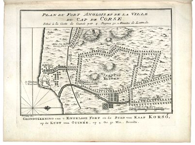
Map of Cape Corso with the British fort, Jakob van der Schley, 1747
Map of cape corso with the british fort. Plan du fort anglois et de la ville du cap de corse. / situé à la coste de guinée par 4. Degres 50. Minutes de latitude. The fort shown on the map was occupied by the wic before it fell into english hands in 1664. Date: 1747. Dimensions: height: 19 cm (7.4 in); width: 14 cm (5.5 in). Medium: engraving on paper. Collection: Koninklijke Bibliotheek. AMH-8061-KB Map of Cape Corso with the British fort