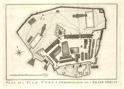
Map of the island of Onrust, Jakob van der Schley, 1763
Map of the island of onrust. Plan de l'isle onrust. Grondtékening van 't eiland onrust. The map is marked with reference numbers, but there is no accompanying key. Date: 1763. Dimensions: height: 21.5 cm (8.4 in); width: 15.5 cm (6.1 in). Medium: engraving on paper. Collection: Koninklijke Bibliotheek. AMH-7986-KB Map of the island of Onrust