Map of part of the coast of Venezuela, Jakob van der Schley, 1768

Map of part of the coast of Venezuela, Jakob van der Schley, 1768

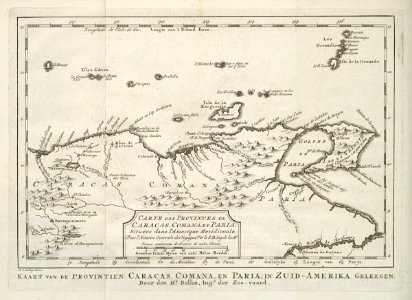
Map of part of the coast of venezuela. Carte des provinces de caracas, comana et paria, situées dans l'amerique meridionale. Kaart van de provintien caracas, comana, en paria, in zuid-amerika geleegen. Date: 1768. Dimensions: height: 22 cm (8.6 in); width: 16 cm (6.2 in). Medium: engraving on paper. Collection: Koninklijke Bibliotheek. AMH-8041-KB Map of part of the coast of Venezuela
Edit image
Published by:
Creazilla
Author: Pieter de HondtSource: commons.wikimedia.org

Loading...

0 downloads
Loading...
maps of the west-indische compagnie1768 maps1768 in venezuela1760s maps of venezuelamaps by jakob van der schleyold maps of nueva espartaengraving on paperkoninklijke bibliotheekjakob van der schley

MORE LIKE THIS

Creazilla logo
Over 10 million free graphic resources for content creators and designers.
© 2018 - 2025 Creazilla
Our resourcesAll imagesPhotosDigital illustrationsClipartIconsPNG ImagesEmojisSilhouettesTraditional Art3D ModelsVectorsFontsColor namesColor palettesGradientsAudioAnimationVideosTemplates
InformationAbout CreazillaTerms of useTech teamPrivacy policyLicence Information
FeedbackContact Us