Map of Japan, Jakob van der Schley, 1756

Map of Japan, Jakob van der Schley, 1756

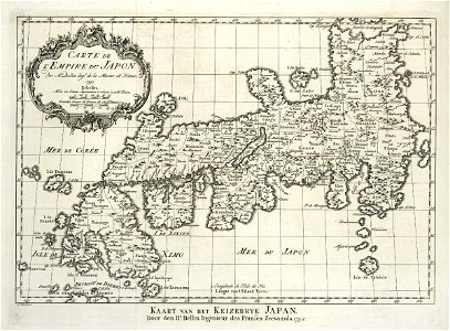
Map of japan. Carte de l'emoire du japon / par mr. Bellin ingr. De la marin de france / 1752. Kaart van het keizerryk japan / door den hr. Bellin, ingenieur des fransen-zeevaards, 1752. Date: 1756. Dimensions: height: 23 cm (9 in); width: 17 cm (6.6 in). Medium: engraving on paper. Collection: Koninklijke Bibliotheek. AMH-8025-KB Map of Japan
Edit image
Published by:
Creazilla
Author: Jacques-Nicolas BellinSource: commons.wikimedia.org

Loading...

0 downloads
Loading...
maps of the dutch east india company - japan1750s maps of japanmaps by jakob van der schleyengraving on paperkoninklijke bibliotheekjakob van der schley

MORE LIKE THIS

Creazilla logo
Over 10 million free graphic resources for content creators and designers.
© 2018 - 2025 Creazilla
Our resourcesAll imagesPhotosDigital illustrationsClipartIconsPNG ImagesEmojisSilhouettesTraditional Art3D ModelsVectorsFontsColor namesColor palettesGradientsAudioAnimationVideosTemplates
InformationAbout CreazillaTerms of useTech teamPrivacy policyLicence Information
FeedbackContact Us