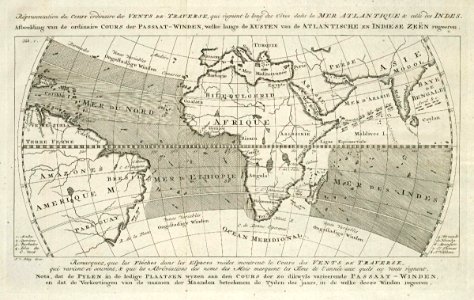
Map of the Atlantic and Indian Oceans, Jakob van der Schley, 1763
Map of the atlantic and indian oceans. Répresentation du cours ordinaire des vents de traverse, qui règnent le long des côtes dans la mer atlantique & celle des indies. Afbeelding van de ordinaire cours der passaat-winden, welke langs de kusten van de atlantische en indiese zeën regeeren. Date: 1763. Dimensions: height: 22 cm (8.6 in); width: 14 cm (5.5 in). Medium: engraving on paper. Collection: Koninklijke Bibliotheek. AMH-8035-KB Map of the Atlantic and Indian Oceans